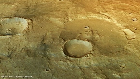
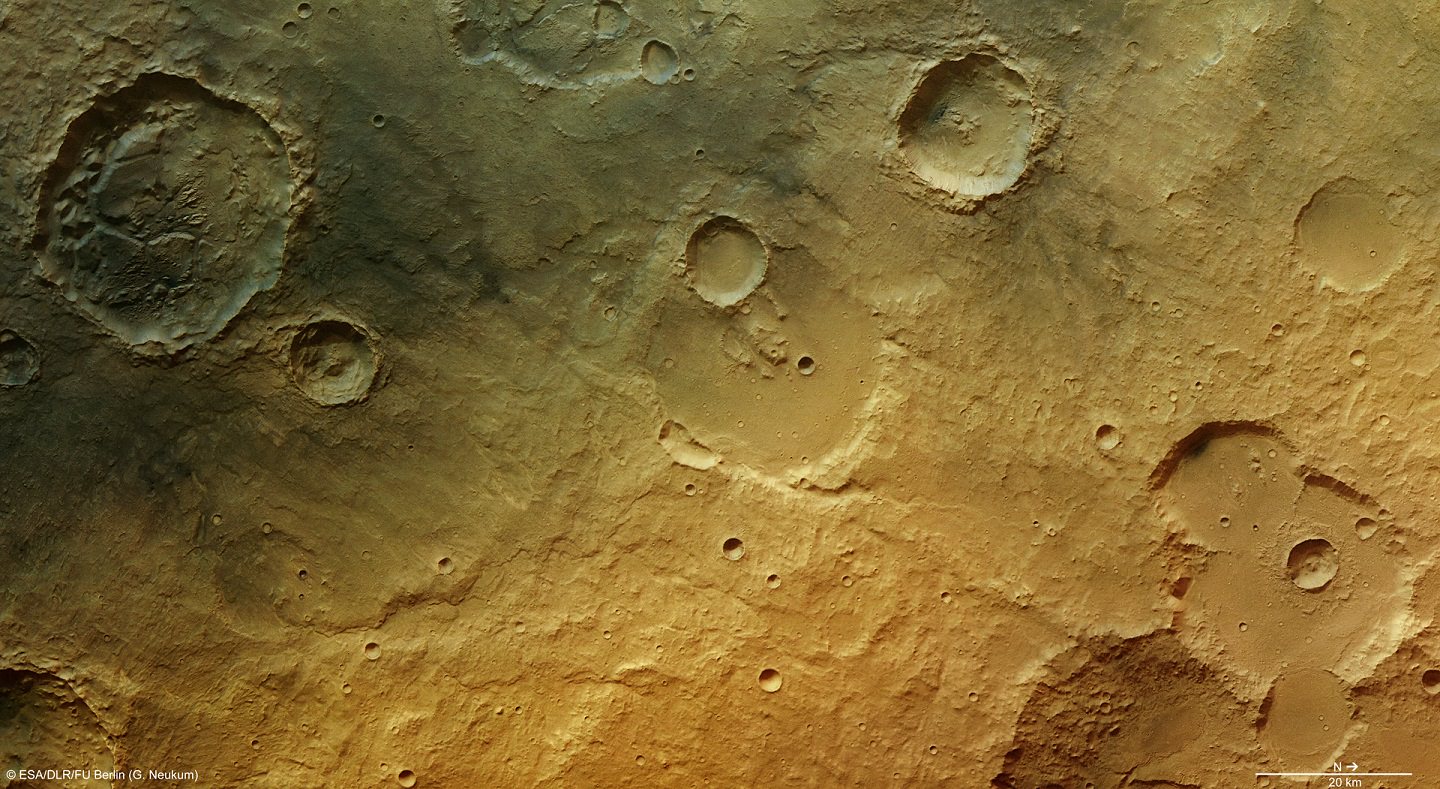
Don’t let the dry appearance of the Martian desert region near Tagus Valles fool you. Some pictures snapped by the European Space Agency’s Mars Express shows there was plenty of water in that area of the Red Planet in the past. The pictures show yet another example of how water once shaped the planet, as scientists try to figure out when and how it disappeared.
“This region is one of many that exposes evidence of the Red Planet’s active past, and shows that the marks of water are engraved in even the most unlikely ancient crater-strewn fields,” ESA stated.
The unnamed region, which is just a few degrees south of the Martian equator, partially caught scientists’ attention because of that crater you see in the top left of the image. (A closer view is below.)

“Numerous landslides have occurred within this crater, perhaps facilitated by the presence of water weakening the crater walls,” ESA stated. “Grooves etched into the crater’s inner walls mark the paths of tumbling rocks, while larger piles of material have slumped en masse to litter the crater floor.”
Scientists saw evidence of mesas (flat-topped blocks) and yardangs, which were both features that were built from sediments that a regional flood once deposited there. The lighter bits have eroded away, but you can still see the leftovers.
There also is evidence of volcanic activity, as there was ash scattered around the area. Scientists guess the origin was the Elysium volcanic region to the northeast.
Check out more details in this ESA press release.


Ok NASA, we get it, there was and still is a water on Mars. We know that for at least 15 years. Now, please, find some life or fossils at least.
Um, I don’t think there’s been firm evidence of surface water before this year…
This also was an announcement from ESA. The images are clearly credited to ESA/DLR/FU Berlin, and the mission they’re talking about is Mars Express.
Just thought I’d point that out.