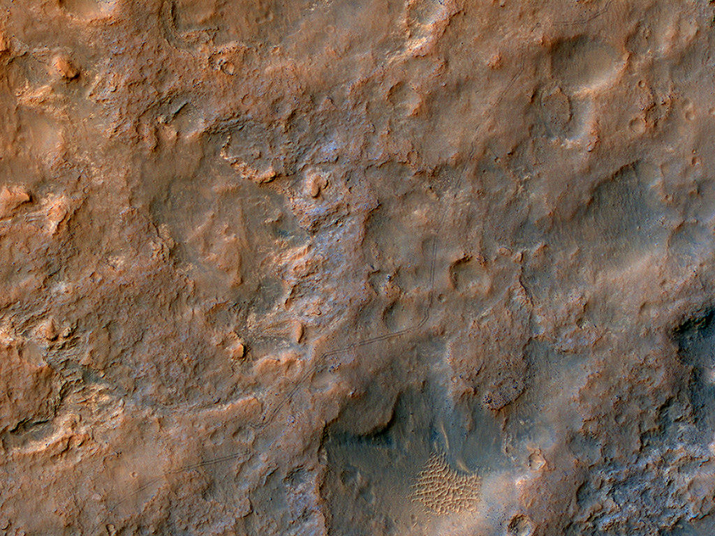
Amazing, the things a birds-eye view allows you to see. Here’s a color image from the HiRISE camera on board the Mars Reconnaissance Orbiter showing the tracks of the Curiosity rover. In this most recent HiRISE image of the MSL rover, the tracks are visible from Yellowknife Bay to its location on 11 December 2013, several kilometers to the southwest. Even though some of these tracks are more than a year old, they are still visible.
As HiRISE team member Christian Schaller said via Twitter, “Take only pictures; leave only footprints.” In this case, HiRISE took the pictures while MSL left the footprints!
HiRISE principal investigator Alfred McEwen explained the image: “Curiosity is progressing from the bright dust-covered area to a region with a darker surface, where saltating sand keeps the surface relatively free of dust. The scenery seen by the rover will be getting more interesting as it progresses toward Mount Sharp.”
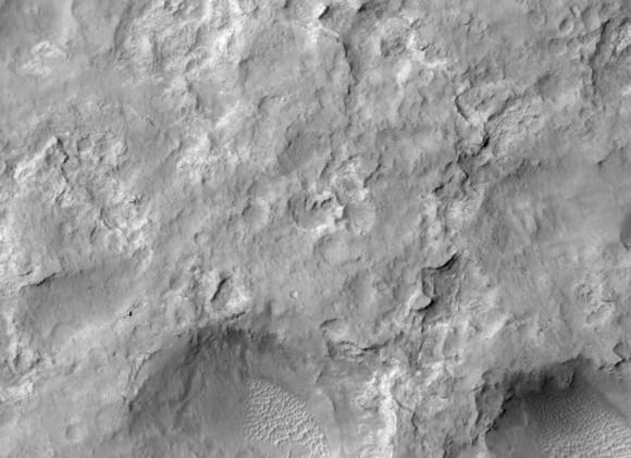
See a black and white image below, where you can actually see Curiosity, too:

See more details on these images, as well as get access to higher resolution versions at the HiRISE website. You can see a collection of images of Curiosity taken by HiRISE here.


It would be excellent to see this image marked up with location names and being able to see the eventual destination and planned route.
Hi-Rise images leave me breathless! These images totally ‘flesh out’ distance and scale factors for the locations we’ve been watching Curiosity explore for more than 500 days! Be cool to have a broader view to show the location in relation to Aeolis Mons?