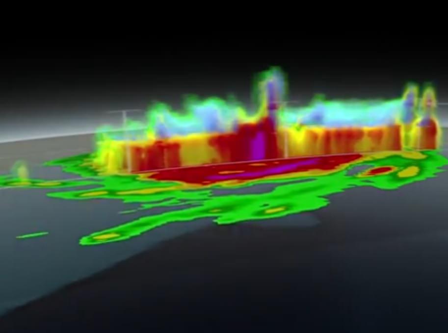
While Hurricane Arthur was still a hurricane, the new Global Precipitation Measurement (GPM) Core Observatory flew over the storm last week and captured its structure in 3-D. This was a good test of the new satellite, which is supposed to help NASA track these Atlantic storms to better precision than before.
The joint NASA-Japanese Aerospace Exploration Agency mission allowed researchers to do better forecasting because they could track the precipitation to 1,000 feet vertically and three miles horizontally (305 meters and five kilometers).
“Hurricane features pop out more. They’re sharper, there’s more clarity to the structures,” stated NASA Goddard hurricane researcher Scott Braun. “Being able to see the structures more clearly may allow for better determination of the structure of the eye wall and rainbands, thereby providing clues about the likelihood of a storm intensifying or weakening.”
For more information on the findings, check out this NASA web page.

