The New Horizons mission, which its conducted its historic flyby on July 14th, 2015, has yielded a wealth of scientific data about Pluto. This has included discoveries about Pluto’s size, its mountainous regions, its floating ice hills, and (more recently) how the dwarf planet interacts with solar wind – a discovery which showed that Pluto is actually more planet-like than previously thought.
But beyond revelations about the planet’s size, geography and surface features, it has also provided the most breathtaking, clear, and inspiring images of Pluto and its moons to date. And with this latest release of images taken by the New Horizon‘s Long Range Reconnaissance Imager (LORRI), people here on Earth are being treated to be the best close-up of Pluto yet.
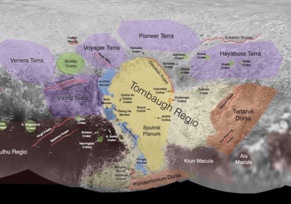
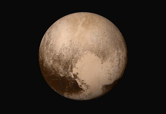
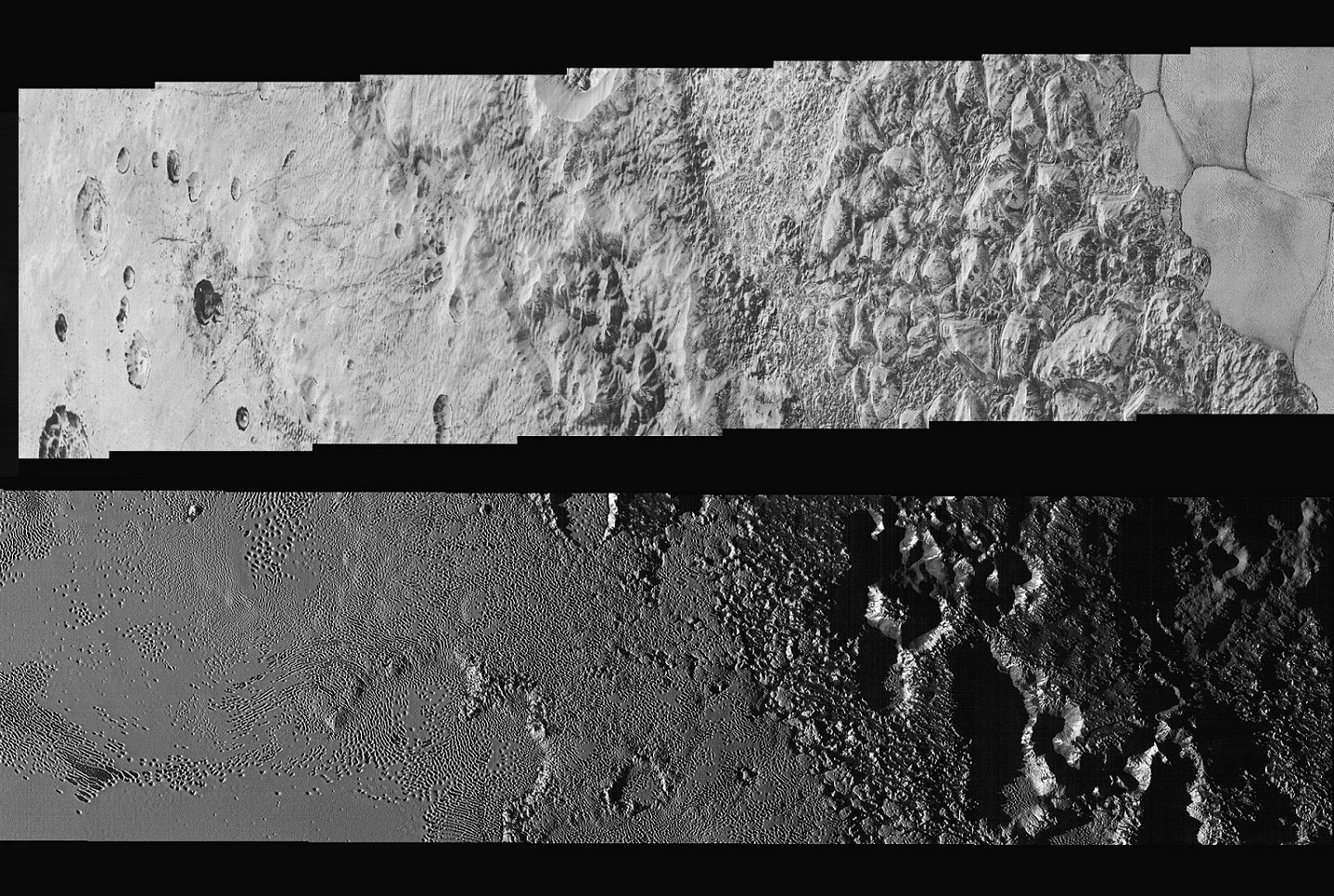
These images, which were taken while the New Horizon’s probe was still 15,850 km (9,850 mi) away from Pluto (just 23 minutes before it made its closest approach), extend across the hemisphere that the probe was facing as it flew past. It shows features ranging from the cratered northern uplands and the mountainous regions in Voyager Terra before slicing through the flatlands of “Pluto’s Heart” – aka. Tombaugh Regio – and ending up in another stretch of rugged highlands.

The width of the strip varies as the images pass from north to south, from more than 90 km (55 mi) across at the northern end to about 75 km (45 mi) at its southern point. The perspective also changes, with the view appearing virtually horizontal at the northern end and then shifting to an almost top-down view onto the surface by the end.
The crystal clear photographs that make up the mosaic – which have a resolution of about 80 meters (260 feet) per pixel – offer the most detailed view of Pluto’s surface ever. With this kind of clarity, NASA scientists are able to discern features that were never before visible, and learn things about the kinds of geological processes which formed them.
This includes the chaotic nature of the mountains in the northern hemisphere, and the varied nature of the icy nitrogen plains across Tombaugh Regio – which go from being cellular, to non-cellular, to a cross-bedding pattern. These features are a further indication that Pluto’s surface is the product of a combination of geological forces, such as cryovolcanism, sublimation, geological activity, convection between water and nitrogen ice, and interaction between the surface and atmosphere.

Alan Stern, the principal investigator of the New Horizons mission and the Associate Vice President of Research and Development at the Southwest Research Institute, was especially impressed with this latest find. As he told Universe Today via email:
“This new high resolution image mosaic is the complete highest resolution strip of images New Horizons obtained, and its both eye candy gorgeous and scientifically rich. Think about it— one flyby and we have this mosaic, plus so much more; no dataset like this existed on Mars until we’d flown half a dozen missions there!”
The most distant flyby in the history of space exploration, and yet we’ve obtained more from this one mission than multiple flybys were able to provide from one of Earth’s closest neighbors. Fascinating! And what’s more, new information is expected to be coming from the New Horizons probe until this coming October. To top it off, our scientists are still not finished analyzing all the information the mission collected during its flyby.
The full-resolution image can be viewed here, and be sure to enjoy this NASA video of the mosaic:
Further Reading: NASA


Wow, that’s just jawdropping. What an amazing little world.