You can spot 'GEOSat' satellites in far-flung orbits… if you know exactly where and when to look.
Watch the sky long enough, and you're bound to see one.
Seasoned observers are very familiar with seeing satellites in low Earth orbit, as these modern artificial sky apparitions lit by sunlight grace the dawn or dusk sky. Occasionally, you might even see a flare from a passing satellite, as a reflective solar panel catches the last rays of sunlight passing overhead just right…
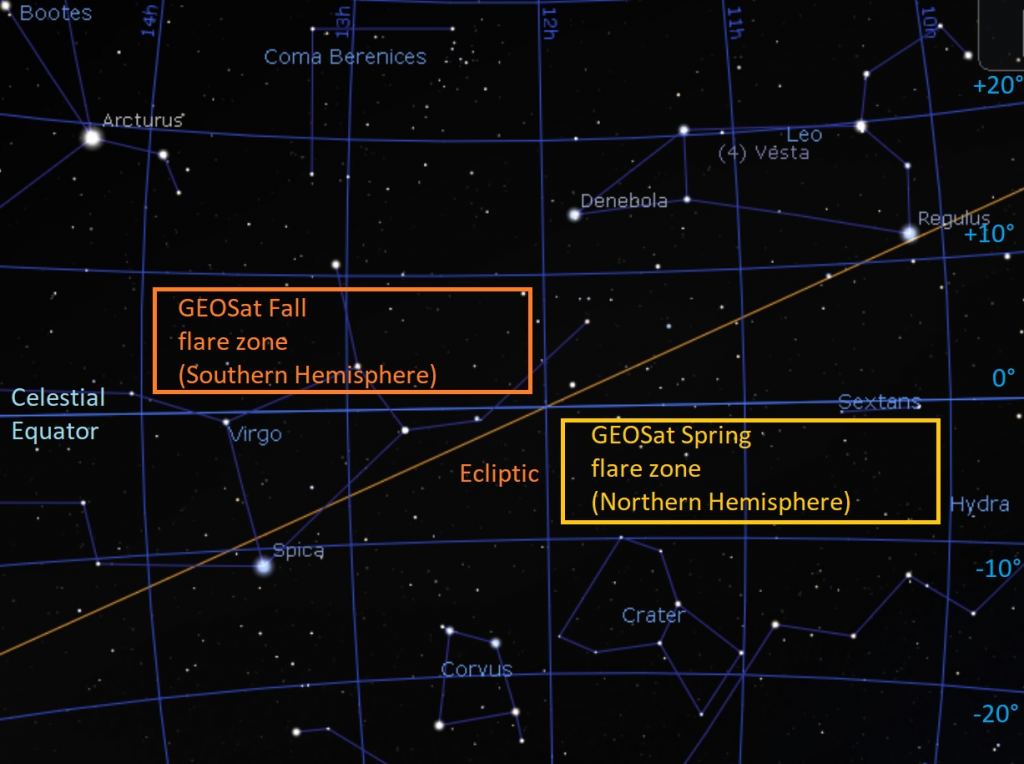
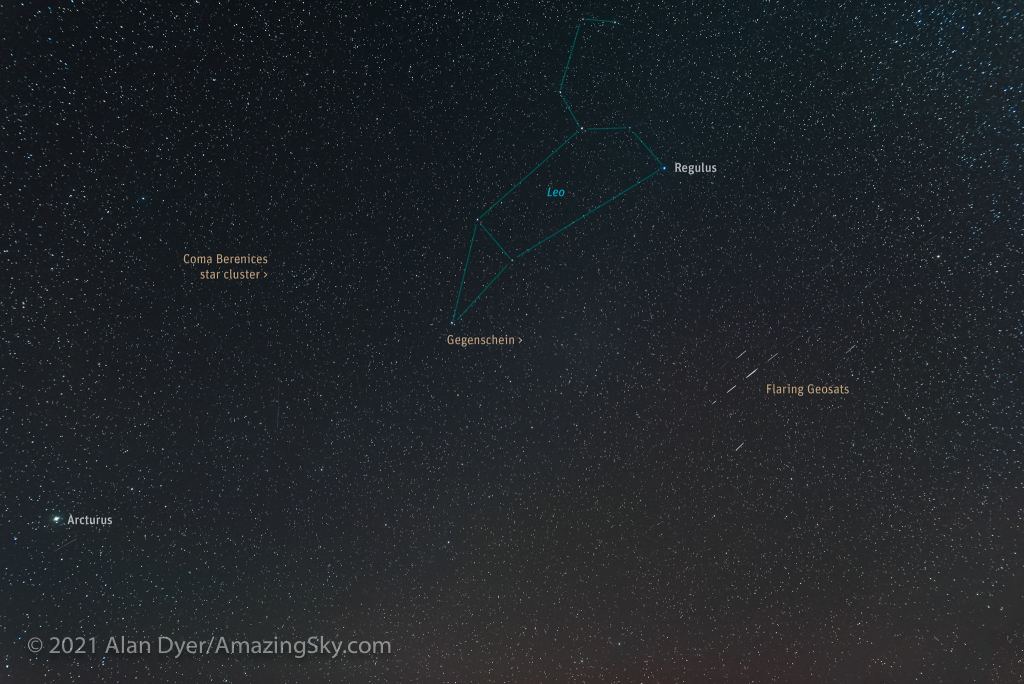
But look closely along either side of the celestial equator (the imaginary line that the Earth's equator traces on the sky) at certain times of the year, and you might just see the ghostly flare of a distant GEOSat (geosynchronous satellite), as it briefly brightens into visibility and fades away.
Right around either equinox in March or September is a good time to try and spy satellites in GEO as they reach near 100% illumination opposite to the Sun, before entering the Earth's shadow and winking out. This biannual occurrence neither either equinox is sometimes known as 'GEOSat flare & eclipse season.'
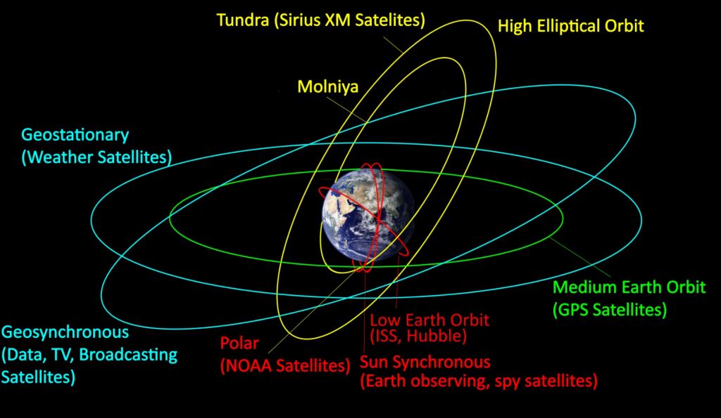
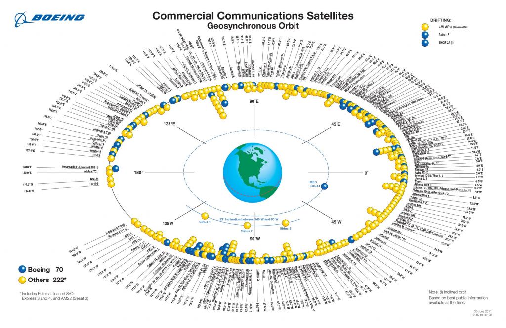
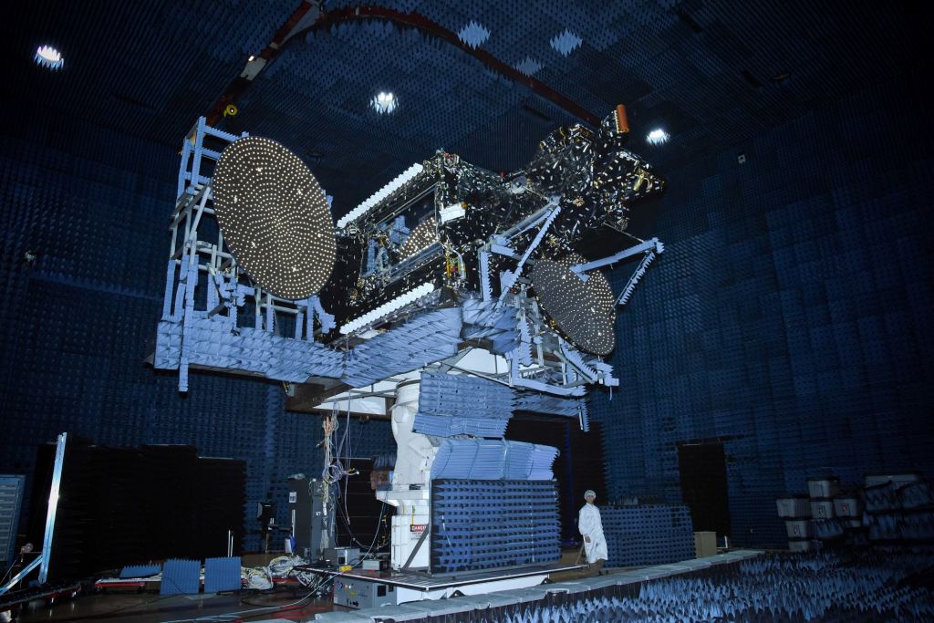
Geosynchronous orbit is the critical point 22,236 miles (35,786 kilometers) from the Earth's surface at which, when you place a satellite there, it orbits the Earth once every 24 hours and stays fixed over a given point and longitude on the Earth's surface. Place a geosynchronous satellite in a zero degree inclination orbit, and its also geostationary. Futurist, science fiction writer and amateur astronomer Arthur C. Clarke first wrote about the coming importance of geostationary orbit in 1945 (over a decade before the beginning of the Space Age), and the zone is sometimes referred to as the *Clarke Belt* in his honor.
The first satellite successfully placed in GEO was Syncom 2 in 1963. As of 2020, 554 satellites have been placed in GEO. Many of these are weather or communications satellites, and a large portion are classified spy satellites. Some of these are later placed out in super-synchronous 'graveyard orbits' out beyond GEO at the end of their useful lives. This is done while contact is still possible, and their thrusters are still operative and contain fuel.
Turns out, we actually know less about the population of satellites in high Earth orbits (HEO) than we thought. A recent study out of the University of Warwick used a project known as DebrisWatch I to carry out a statistical census of distant artificial objects, suggesting we're only catching about 25% of what's out there in terms of objects 10 centimeters (4-inches) across or larger. Though the Clarke Belt is larger than low Earth orbit (LEO) in terms of sheer volume and area, it's also getting crowded as well. For example a
Certain regions along the celestial equator are notorious for GEOSats. Working at the Flandrau Observatory on the University of Arizona campus years ago, I would see GEOSats slowly nodding from north-to-south and then back again during certain times of the year, while showing off the Orion Nebula (M42) to the public.
F lare s, Flashers and Tumblers
Of course, not everything that flares into visibility is in GEO. In LEO, the first generation of Iridium satellites faithfully put on a show through the first two decades of the 21stcentury, though the second generation of Iridium satellites aren't as spectacular. Long chains of Starlink satellites will flare on occasion—despite visors meant to mitigate visibility—as the individual single panel attached to each satellite glints in the sunlight. Anything tumbling in orbit will flash and flare as it turns end-over-end. Good examples are the failed Hitomi X-ray observatory, the U.S.'s enigmatic vanishing Lacrosse-5 spy satellite and, (until it reentered recently), Indonesia's failed Telkom-3 satellite.
The prime difference is that GEO satellites appear to stay stationary with respect to the observer, but move with respect to the background sky. You can see this on wide-field exposures of the sky during time-lapses: shooting star trails, GEO satellites will appear stationary… but track the sky during an exposure, and it's the GEOSats themselves that will turn up as trails across the image. On average, GEOSats shine at about magnitude +10, but they can flare up into the visible magnitude range before hitting the Earth's shadow, which is about 13.5 degrees across at GEO. Satellites at GEO take about 54 minutes to traverse the shadow, before hitting sunlight again.
A good time to catch this phenomenon is in the Spring and the Fall near either equinoctial point at local midnight, as the Earth's shadow transits the meridian.
What Sat is That?
Knowing just what satellite your seeing is also helpful. Unfortunately, CalSKY—once a great resource to peg what GEOSats in view for your location—is no more. Comparing the current list of GEOSats against longitude slots can help you in your quest: the free desktop planetarium software program Stellarium also lists unclassified GEOSats, and can help you cinch an identification.
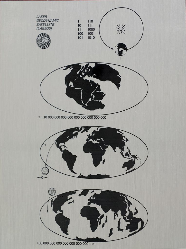
With no atmospheric drag, GEO satellites are in very stable orbits over time, and may in fact serve as the longest lasting artifacts our civilization has ever produced. Knowing this, time capsules have been placed aboard a few GEOSats: in 2012, Creative Time placed the *Last Pictures* archival disc aboard EchoStar XVI. In 1976, Carl Sagan designed a plate that is now affixed to the LAGEOS-1 satellite, showing the geological positions of the continents of the Earth over time.
If skies are clear, don't miss a chance to catch sight of these distant orbital sentinels over the coming weeks.
Lead image credit: A flare from the IGS 1B satellite in GEO orbit. Image credit and copyright: Marco Langbroek.
 Universe Today

