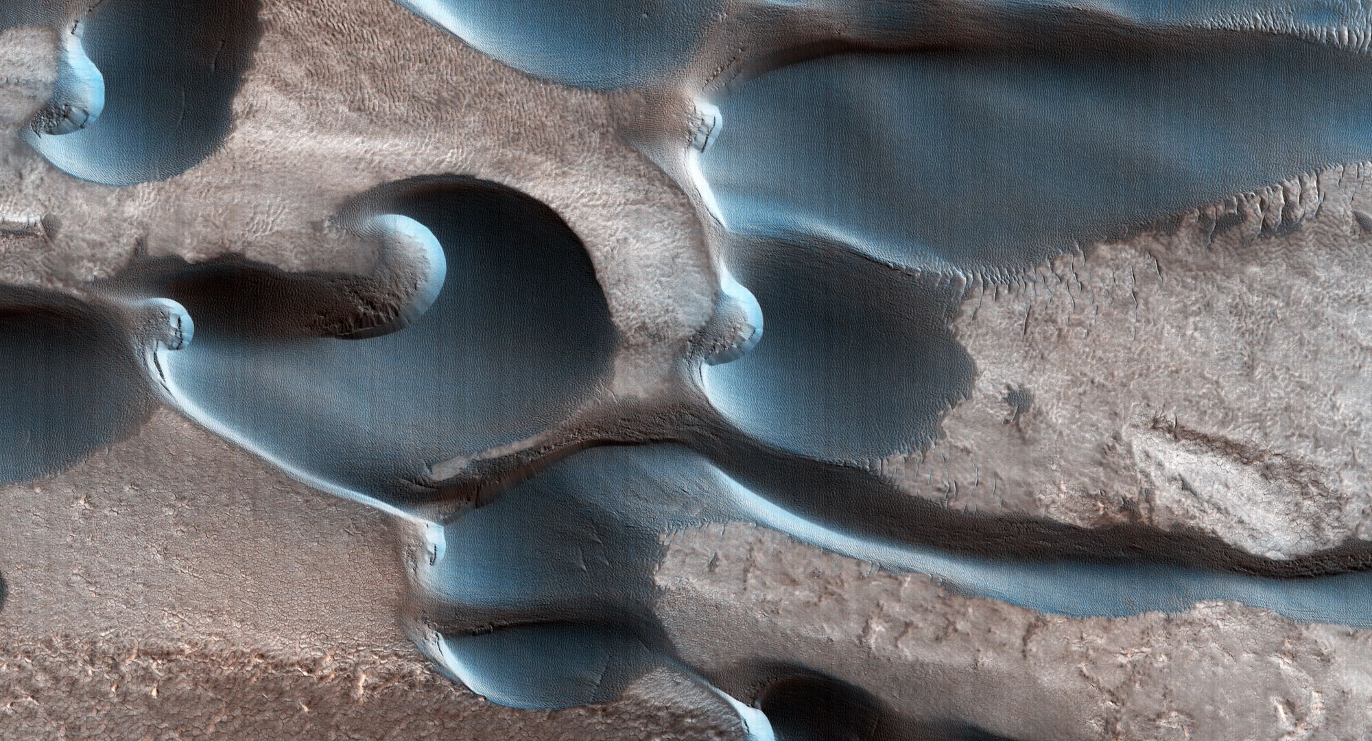
This interesting image from the HiRISE camera on the Mars Reconnaissance Orbiter shows a field of fascinating dunes called barchan dunes. These dunes have formed along a cliff in Chasma Boreale, in the North Pole of Mars.
The High-Resolution Imaging Experiment, or HIRISE is a powerful camera takes pictures that see features as small as a desk from orbit. The image here shows an area less than 1 km (under a mile) across and MRO was about 197 km above the surface when the image was taken.
HiRISE scientists say that barchan dunes are common on both Earth and Mars. Usually, these dunes are very distinctive in shape, and are important because they can tell scientists about the environment in which they formed and the direction of the winds at a particular location.

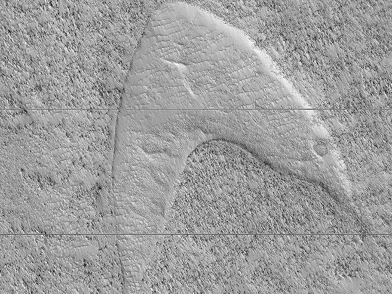
Barchans form in sandy areas where winds blow in one dominant direction. This creates a crescent-shaped sand dune. The arcs of sand that define the barchan dunes end in “horns” that point downwind, while sand is blown into crests and slopes. Many times, this forms a shape that, from above, looks like the Star Trek insignia.

The winds at the Martian North Pole must swirl in various directions because the dunes shown above aren’t shaped in the classic crescent, chevron shape. The image was taken using the red-green-blue filter on the camera, giving the sand a blue appearance.
The HiRISE camera operates in visible wavelengths, the same as human eyes, but with a telescopic lens that makes it one of the highest resolution cameras currently in space. These high-resolution images enable scientists to distinguish 1-meter-size (about 3-foot-size) objects on Mars and to study the surface structure in a much more comprehensive manner than any other Mars mission.
HiRISE also makes observations at near-infrared wavelengths to obtain information on the minerals present. MRO has been in Mars orbit since 2006, and the longevity of the mission means planetary scientists can track changes over time. The goal for taking the lead image is for the team to track for seasonal changes in this region over time.

