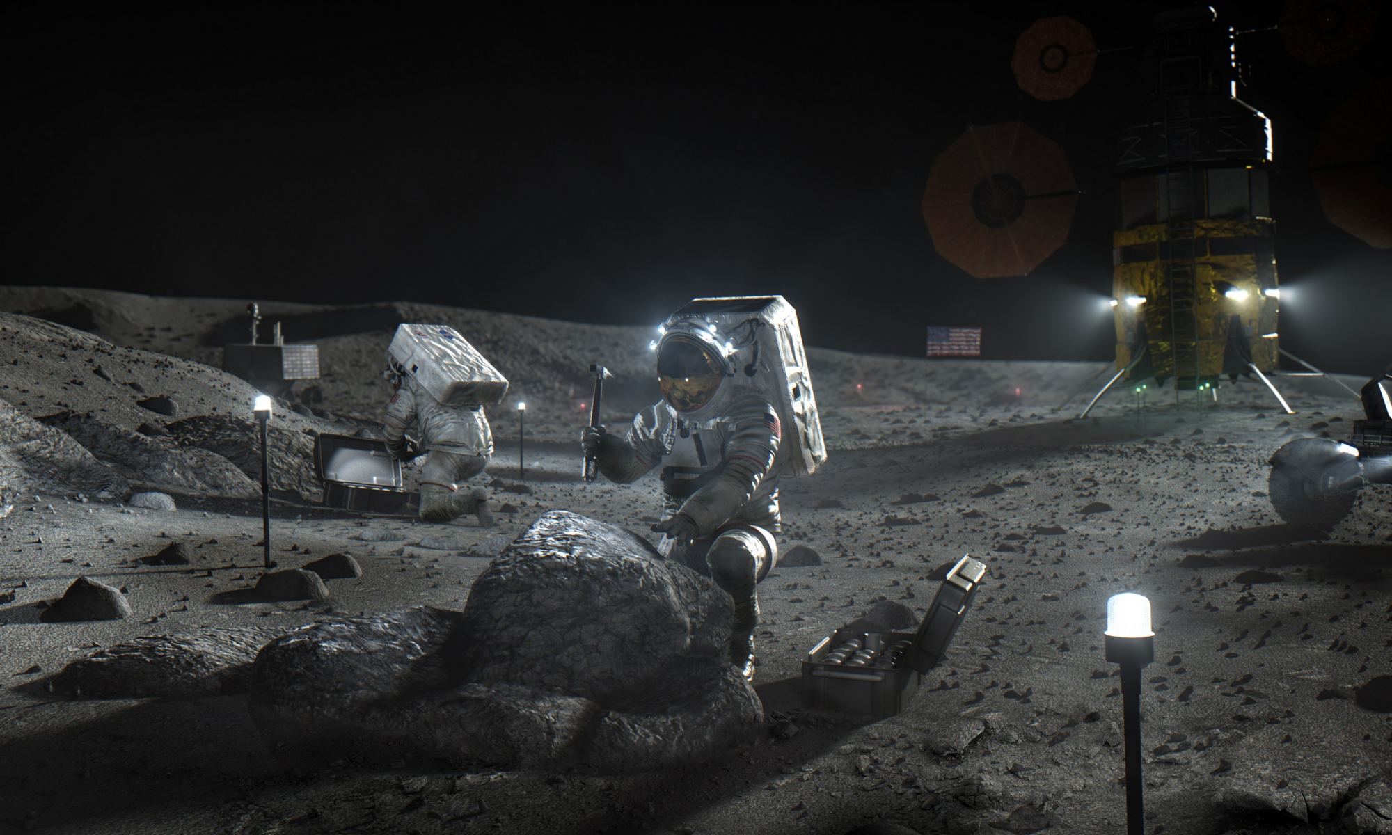
Before this decade is out, NASA plans to return astronauts to the Moon for the first time since the Apollo Era and build the necessary infrastructure to keep sending them back. And they will hardly be alone. Alongside NASA’s Artemis Program, the European Space Agency also plans to send astronauts to the Moon and establish a permanent habitat there (the Moon Village), while China and Russia are working towards creating the International Lunar Research Station (ILRS). Numerous commercial space companies will also be there to provide crew transportation, cargo, and logistical services.
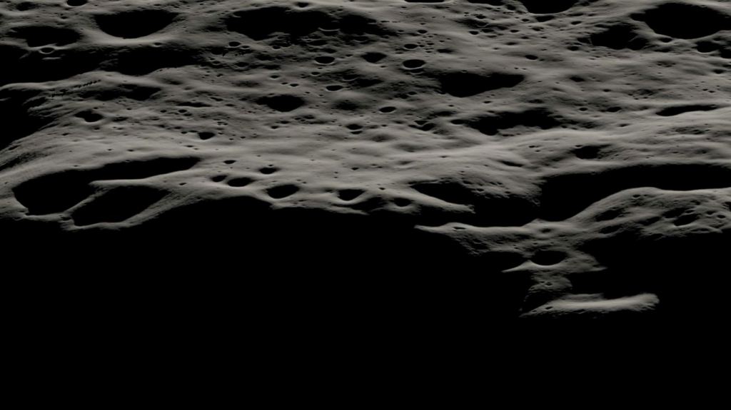
All of this will happen in the Moon’s southern polar region, a topographically complex region characterized by craters, permanently shadowed regions (PSRs), and undulating slopes. This terrain could prove difficult for crews conducting extravehicular activities (EVAs) away from landing sites and habitats. In a recent study, an international team of researchers used data from NASA’s Lunar Reconnaissance Orbiter (LRO) to create a detailed atlas of the region that accounts for all the traverses and descents. This atlas could prove very useful for mission planners as they select landing sites for future exploration.
The study was led by Eloy Peña-Asensio, a predoctoral researcher with Institut de Ciències de l’Espai (ICE, CSIC) and the Universitat Autònoma de Barcelona (UAB). He was joined by colleagues from the Institut Laue-Langevin (ILL) in Grenoble, the Institute of Aeronautics and Astronautics at the Technische Universität Berlin (TUB), the Indian Institute of Technology (IIT), Texas A&M University, the University of Manchester, and the Center for Lunar Science & Exploration at the Lunar and Planetary Institute (CLSE-LPI). The paper that describes their findings was recently published in the journal Acta Astronautica.

Old Lessons, New Challenges
According to a report titled “Human Health and Performance Risks of Space Exploration Missions,” compiled by NASA’s Human Research Program in 2009, the Artemis Program will be more dependent on EVA excursions away from a pressurized habitat or vehicle than any program in the history of NASA:
“EVAs will be required to conduct planned scientific expeditions, assemble structures, perform nominal maintenance, and intervene and solve problems outside of the vehicle that cannot be solved either robotically or remotely. The ultimate success of future Exploration missions is dependent on the ability to perform EVA tasks efficiently and safely in these challenging environments. With lunar missions planned for up to 30 times more EVA hours than during the Apollo era, exploration missions to the moon and Mars will present many new challenges with regard to crew health, safety, and performance.”
While mission planners anticipate EVAs much longer than any performed by the Apollo astronauts, NASA’s understanding of human health and performance parameters in lunar gravity is limited to lessons learned from the Apollo Era. Subsequent observations and studies involving microgravity EVAs aboard the Space Shuttle and the International Space Station (ISS) have provided invaluable lessons. However, this data has mainly been used to design new spacesuits, like the recently unveiled Exploration Extravehicular Mobility Unit (xEMU).
Nevertheless, the report also indicates that there has been limited quantification of the physiological and biomechanical variables associated with suited activities in unit and partial gravity. For the astronauts conducting EVAs as part of Artemis III (and subsequent missions), the risks and hazards largely depend on the distance being explored and whether a rover is involved. As study co-author David A. Kring, a researcher with the CLSE-LPI, told Universe Today via email:
“The initial Artemis missions will be limited to walking. The principal challenge in that type of mission will be terrain slope. Any traverse needs to be on slopes less than 20 degrees. Astronauts will also be asked to stay within 2 kilometers [1.24 mi] of the lander and, ideally, keep the lander in sight. After rovers are deployed, astronauts can travel farther from a lander. It may also be possible to reuse rovers in multiple missions. In that case, Houston will telerobotically drive rovers from one astronaut landing site to another. Topography and slope will affect the paths taken. Some of the lunar mountains are larger than Mt. Everest on Earth.”

Exploring the Lunar South Pole
What is needed to ensure that crews don’t exhaust themselves or fall prey to the many geographical hazards that characterize the terrain, Kring and his colleagues consulted data from the LRO’s Lunar Orbiter Laser Altimeter (LOLA), which obtained 5-meter per pixel (16.4 ft/pixel) measurements the Moon’s southern polar region in 2015 – from which, they identified 521 PSRs. They then created an automated pipeline called MoonPath, which combines a Monte Carlo approach with Dijkstra’s minimum cost path algorithm to calculate traverse paths that minimize metabolic workload.
As Kring noted, these methods were developed with the help of early-career scientists and students in the midst of their Ph.D. studies. These students joined the team in Houston as part of a NASA-sponsored Exploration Science Summer Intern Program sponsored by the Solar System Exploration Research Virtual Institute (SSERVI). Their case study was also focused on three candidate landing regions officially identified last year by the Artemis Campaign Development Division at NASA HQ. Designated 001, 001(6), and 004, these locations are all PSRs primarily located at the base of craters near the lunar poles.
Like the other candidate landing regions, they are of significant scientific interest due to the potential presence of volatile compounds like water ice, which could be used to produce everything from drinking water and oxygen gas to rocket propellants. As Peña-Asensio explained, the resulting algorithm operates under a set of constraints, including round-trip traverses, minimizing steep slopes, avoiding large boulders, and restricting the overall distance to a 2 km (1.24 mi) radius:
“The optimal strategy for minimizing metabolic workload is to find the shortest and flattest route. Our tool evaluates the properties that an astronaut would encounter along the traverse, such as topographical variations, the incidence of sunlight on their bodies, direct line-of-sight to the lunar lander, temperature, and bearing capacity. Additionally, we estimate the walking speed and time based on Apollo mission records.”
Atlas for Artemis
The result of their work was an atlas that included all 521 traverses and descents to PSRs in the southern polar region. Based on their analysis, the team found that 94?% of all these PSRs are accessible from the rim on slopes below 15°. They further determined that 20 and 19 PSRs are accessible from potential landing sites 001 and 001(6) (respectively), four of which are accessible on slopes entirely below 10°, and that traverses around site 004 are more workload-demanding. This type of information is critical for optimizing astronaut EVAs and identifying accessible targets for science operations.
As they indicate in their paper, the pipeline and traverse atlas can be used to support mission planning for the collection of ice and volatile samples and address major scientific priorities. It can also be used to calculate the minimum workload astronaut paths to any other geologic and exploration targets within the AEZ or elsewhere on the Moon. As Kring summarized:
“The planning tool that the team developed will sharpen our ability to plan geologic traverses that astronauts can successfully complete on schedule. The tool be used to sharpen individual notional traverses. The tool can also be used in an automated mode that allows the team to investigate a constellation of traverse options and, thus, identify the best one from a metabolic perspective. The team developed the tool to assist Artemis astronauts, but it can also be used to explore robotic missions to the lunar surface.”
Further Reading: Acta Astronautica

