Here are some cool desert pictures, taken from space.
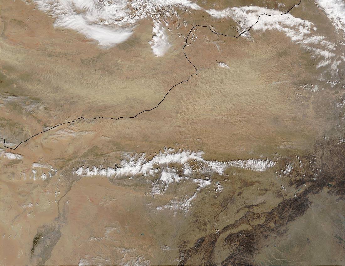
This is an image of the Gobi Desert taken from space. The top part of the image looks pockmarked, but that’s because the wind generated an enormous dust storm that obscured a large part of the region.
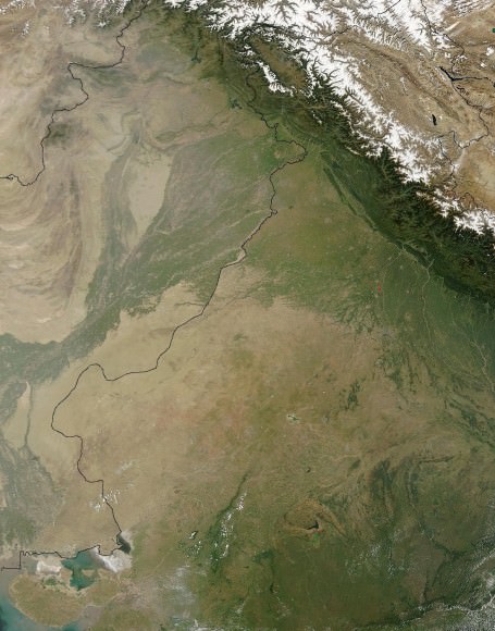
This is the Thar Desert, also known as the Great Indian Desert, on the border between India and Pakistan. Not much grows here, so farmers mostly raise grazing animals, moving to different pastures depending on the season. You can see how the Himalayas rise up at the top of the image.
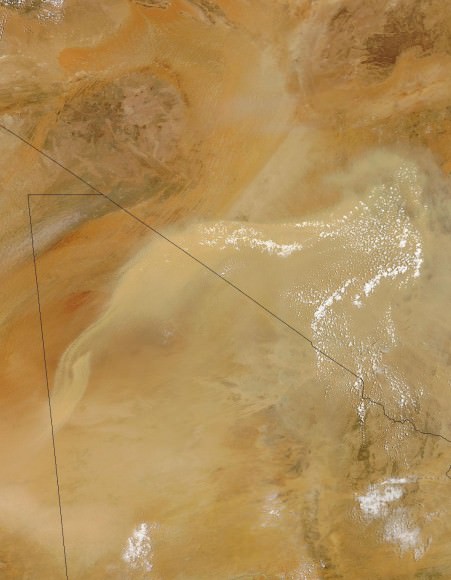
This is a view of the Sahara Desert in Africa, seen from space. Large clouds of dust obscure parts of the desert. There’s so little rainfall that farming is impossible.
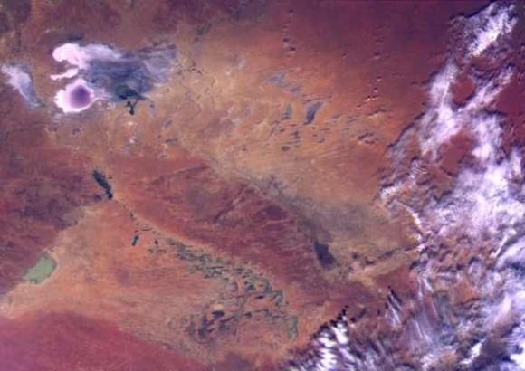
Here’s a photo of the Simpson Desert in Queensland, Australia. Normally this region is very dry, but this photo was taken after a period of heavy rainfall and flooding, where huge flooded areas are seen from space.
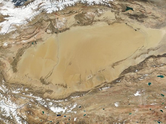
This is a photo of the Taklimakan Desert in China. This is a depression that sits between two mountain ranges, preventing rain clouds from reaching the desert. At the top of the image are the Tien Shan Mountains, and the Kunlun Mountains are at the bottom of the image.
We’ve written many articles about deserts for Universe Today. Here’s an article about the largest desert on Earth, and here’s an article about the Atacama Desert.
If you’d like more info on Earth, check out NASA’s Solar System Exploration Guide on Earth. And here’s a link to NASA’s Earth Observatory.
We’ve also recorded an episode of Astronomy Cast all about planet Earth. Listen here, Episode 51: Earth.

