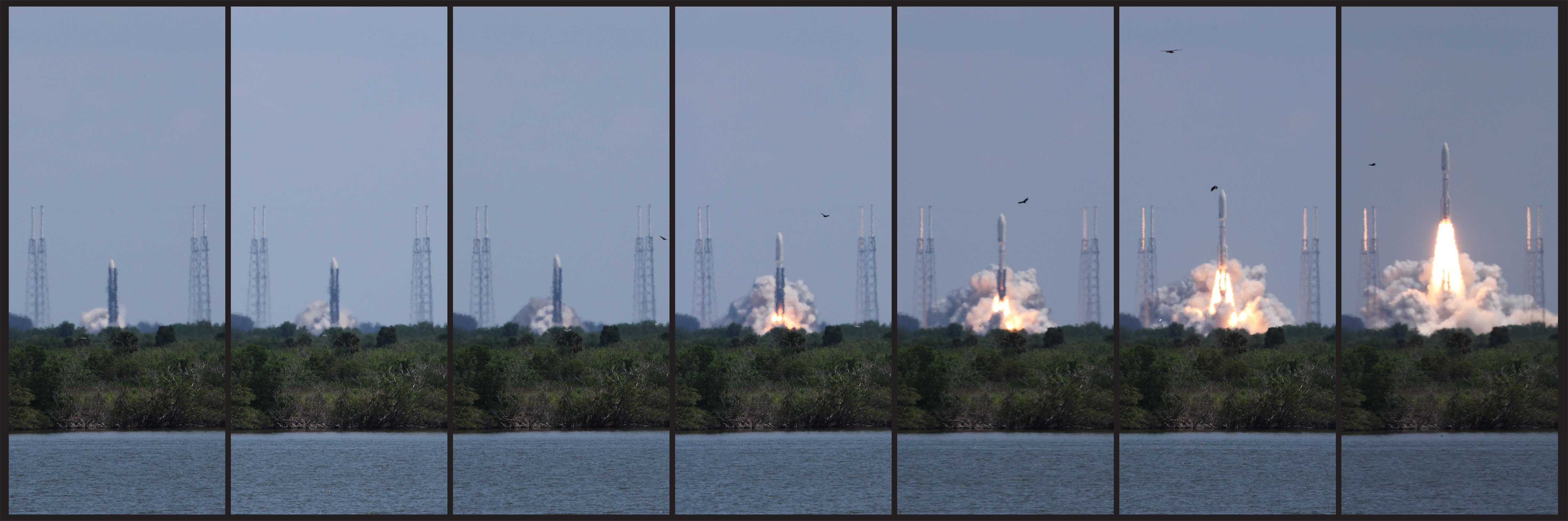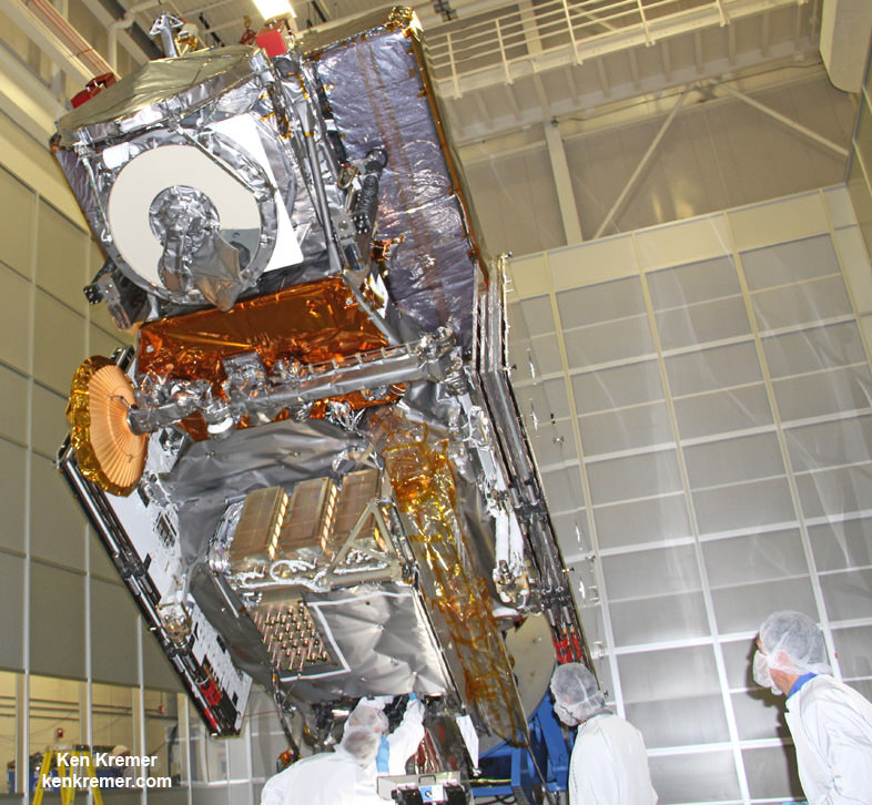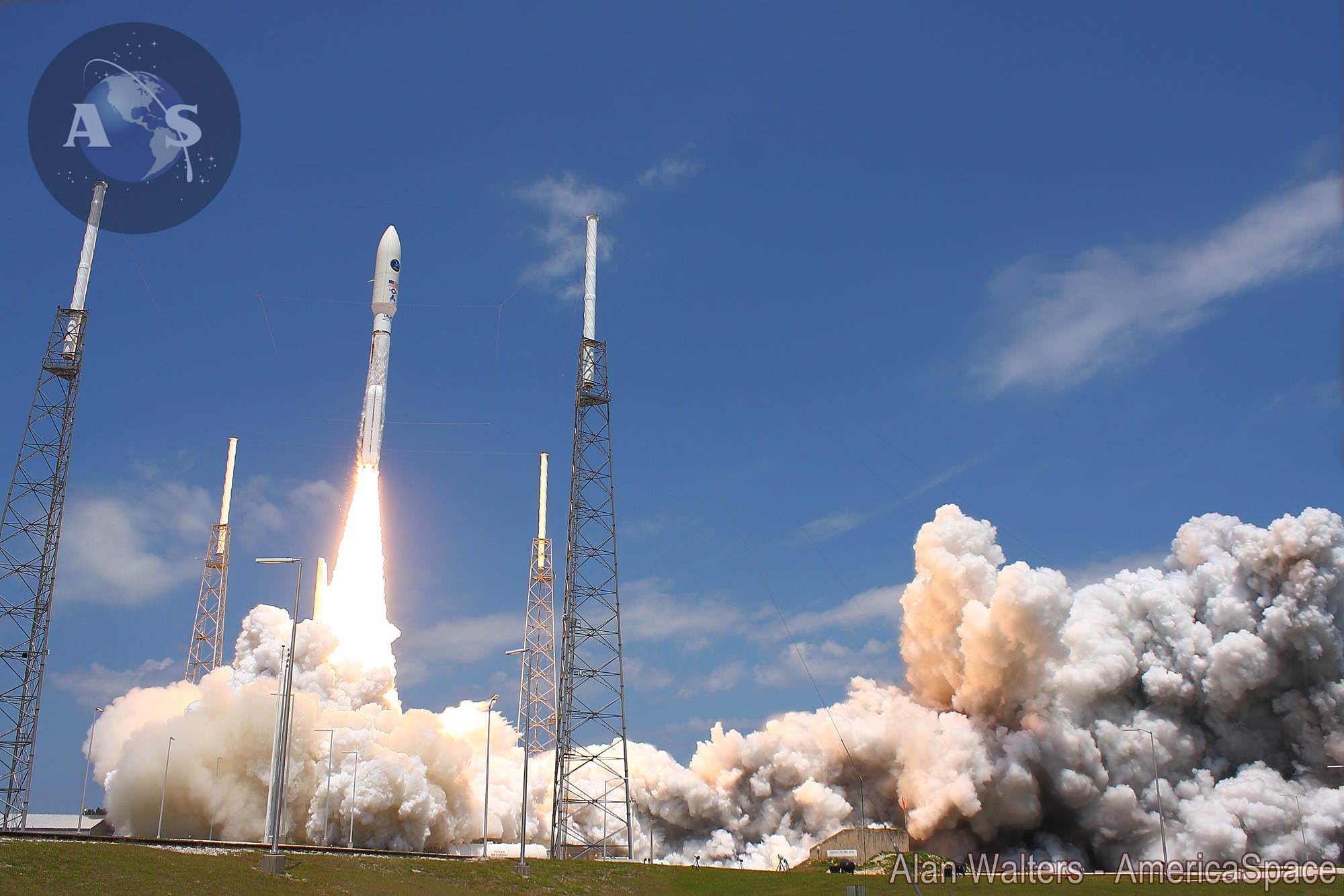
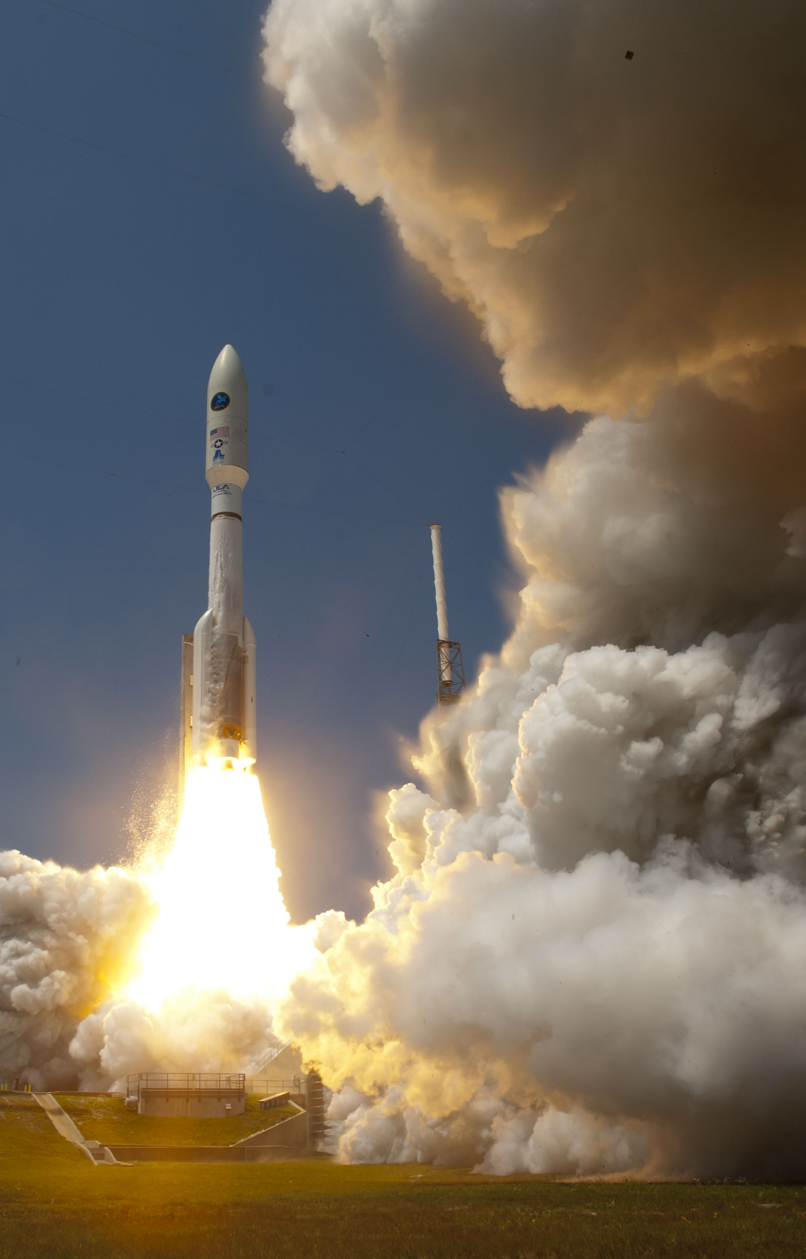
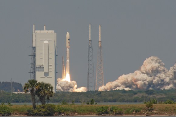
Blastoff of the Atlas V rocket with the super secret NROL-67 intelligence gathering payload on April 10, 2014 from Cape Canaveral Air Force Station, Fla. Credit: Alan Walters/AmericaSpace
Launch gallery expanded and updated – with timelapse ![/caption]
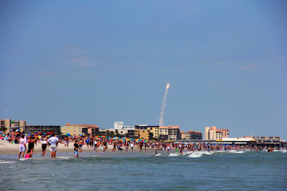
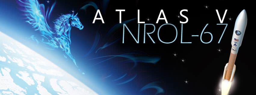
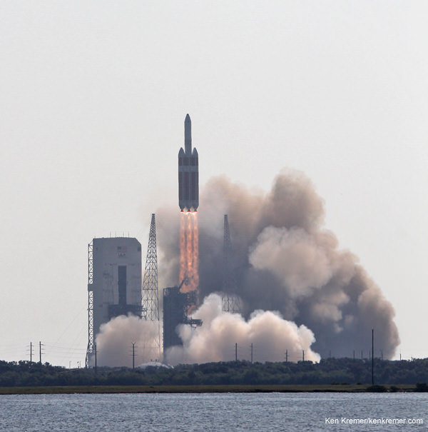
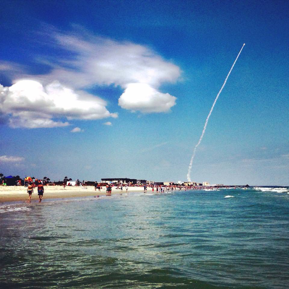
A super secret US spy satellite soared spectacularly to space this afternoon from Cape Canaveral atop a very powerful version of the Atlas V rocket on a classified flight for the National Reconnaissance Office.
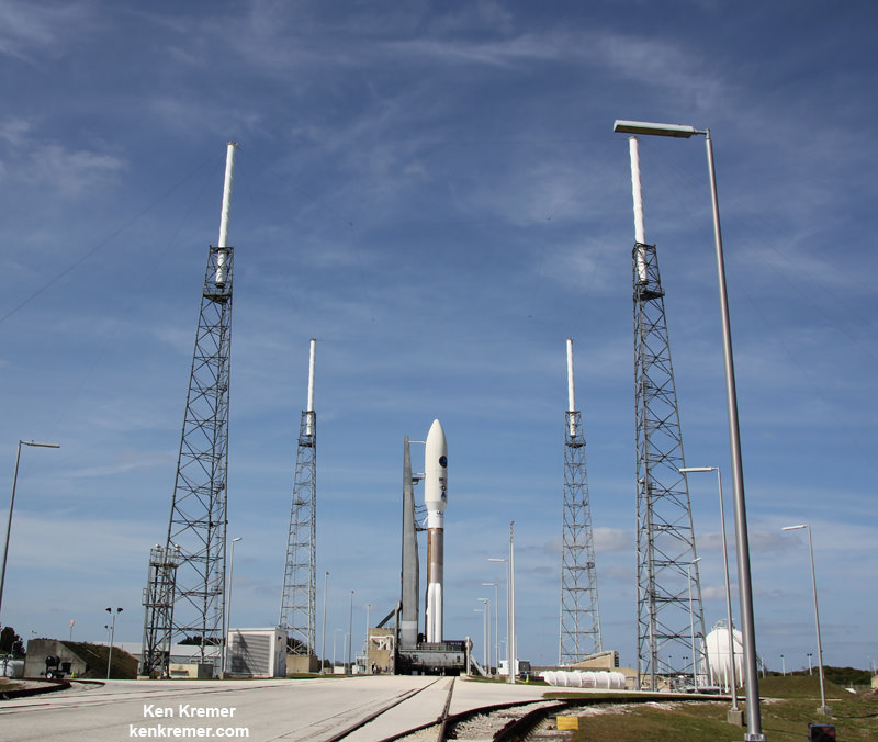
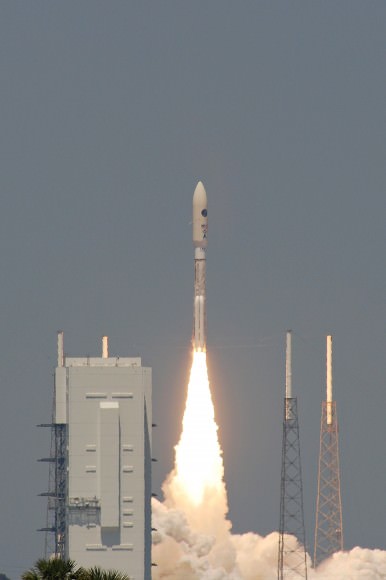
The United Launch Alliance (ULA) Atlas V carrying the NROL-67 intelligence gathering satellite on a US national security mission for the NRO lifted off from Space Launch Complex-41 ignited its engines precisely on the targeted time on April 10 at 1:45 p.m. EDT into brilliant blue Florida skies on Cape Canaveral Air Force Station.
This mighty version of the 191 ft (58 m) tall Atlas V whose thrust was augmented with four strap on solid rocket motors has only been used once before – to loft NASA’s Curiosity rover to the Red Planet back in November 2011.
Today’s Atlas V launch, as well as another for SpaceX/NASA, was postponed over two weeks ago from March 25 & 30 amidst final launch preparations when an electrical short completely knocked out use of the US Air Force’s crucial tracking radar that is mandatory to insure public safety for all launches on the Eastern Range.
Nothing is publicly known about the NROL surveillance satellite, its capabilities, orbit or mission or goals.
Due to the covert nature of this mission, the flight entered the now standard total news blackout and the TV transmission ceased barely five minutes after liftoff.
The successful blastoff follows closely on the heels of another Atlas V launch just seven days ago.
On April 3, ULA launched a less powerful version of the Atlas V carrying an Air Force weather satellite from Vandenberg Air Force Base, Calif.

“We are honored to deliver this national security asset to orbit together with our customers the NRO Office of Space Launch and the Air Force,” said Jim Sponnick, ULA vice president, Atlas and Delta Programs.
“Successfully launching two missions from two different coasts in just seven days is a testament to the team’s one-launch-at-a-time focus and ULA’s commitment to mission success and schedule reliability.”
Today’s liftoff involved use of the Atlas V in the 541 configuration. The NROL-67 payload was housed inside a 5-meter diameter payload fairing. And a total of four US built Aerojet Rocketdyne solid rocket motors were mounted on the first stage of the booster.
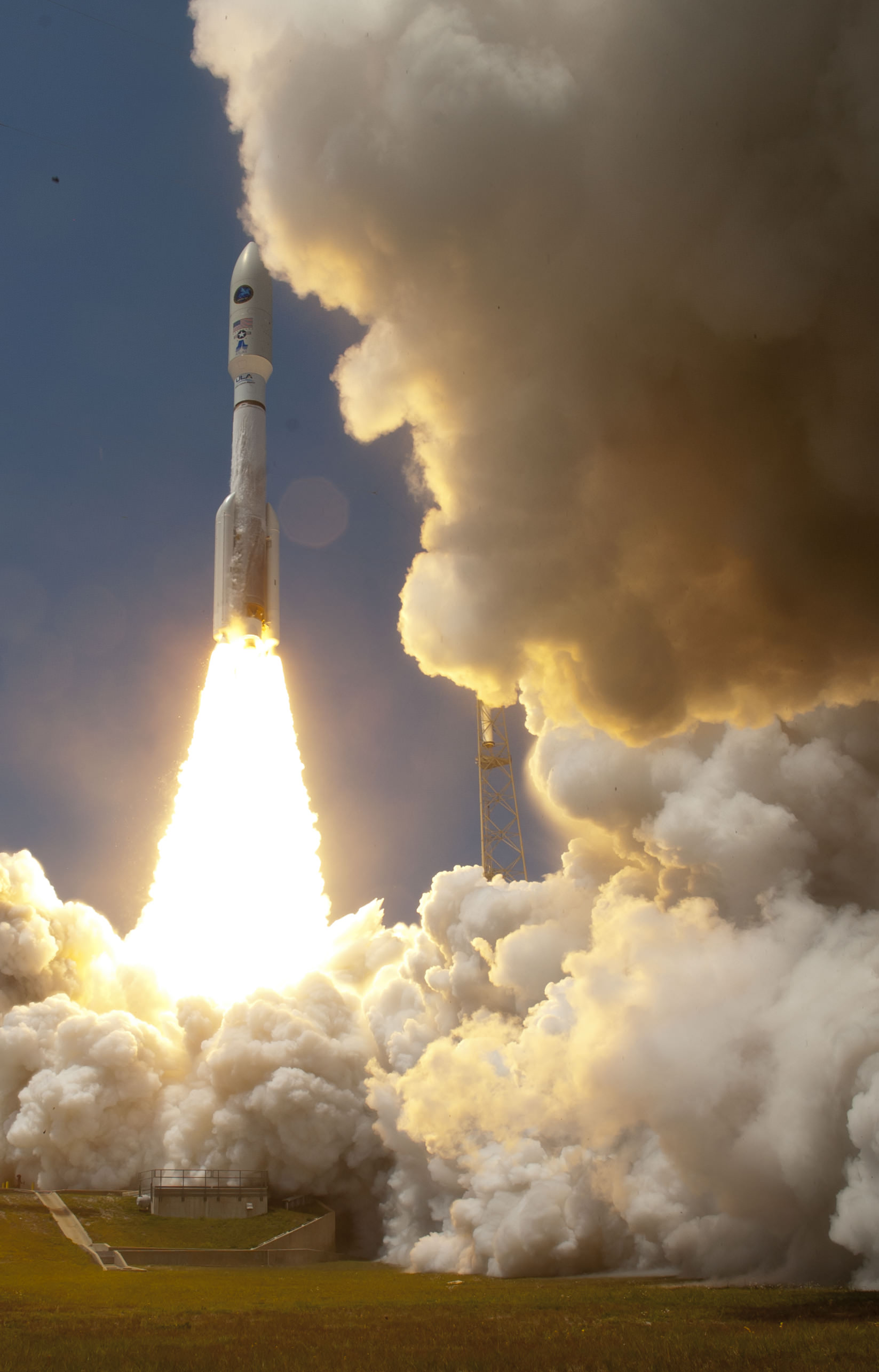
The Centaur upper stage which boosted NROL-67 to Earth orbit was powered by a single Aerojet Rocketdyne RL10A engine.
The Atlas V first stage was also powered by the dual nozzle RD AMROSS RD-180 engine manufactured in Russia.
Use of the Russian designed and built RD AMROSS RD-180 engine potentially puts Atlas V launches and US National Security launches at risk, if the crisis in Ukraine and Crimea spins out of control as I have reported previously.
“ULA maintains a two year stockpile of the RD-180 engines at all times,” ULA Jessica Rye spokesperson told me recently at Cape Canaveral Air Force Station.
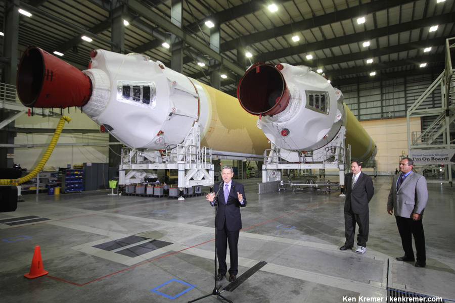
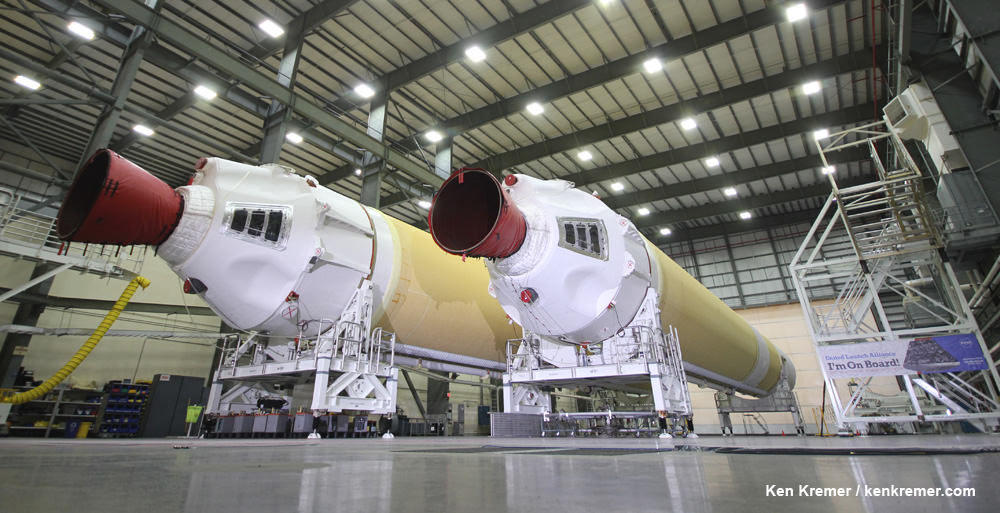
The next ULA launch from the Cape is scheduled for May 15 when a Delta IV rocket will loft the GPS IIF-6 mission for the United States Air Force from Space Launch Complex-37.
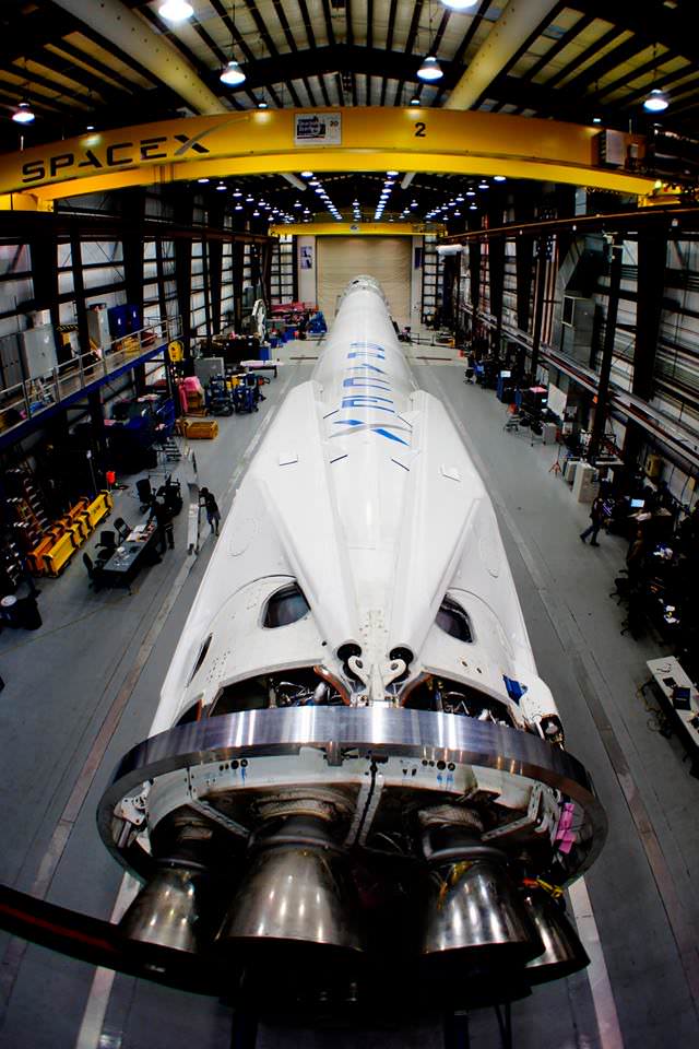
A SpaceX Falcon 9 is slated to launch on Monday, April 14 at 4:58 p.m. EDT.
The Falcon 9 is lofting a SpaceX Dragon cargo ship and delivering some 5000 pounds of science experiments and supplies for the six man space station crew – under a resupply contract with NASA.
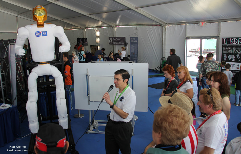
Also packed aboard the Dragon are a pair of legs for NASA’s experimental Robonaut 2 crew member.
Stay tuned here for Ken’s continuing Atlas V NROL 67, SpaceX, Orbital Sciences, commercial space, Orion, Chang’e-3, LADEE, Mars rover, MAVEN, MOM and more planetary and human spaceflight news.
Learn more at Ken’s upcoming presentations at the NEAF astro/space convention, NY on April 12/13.