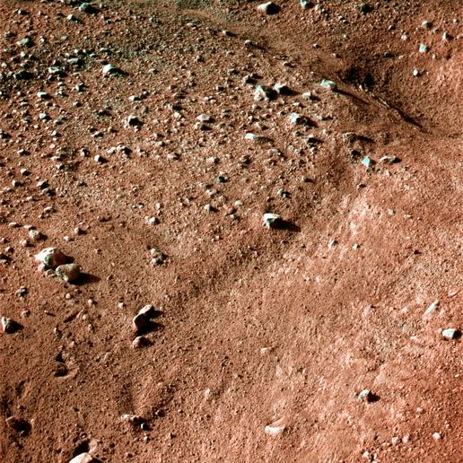
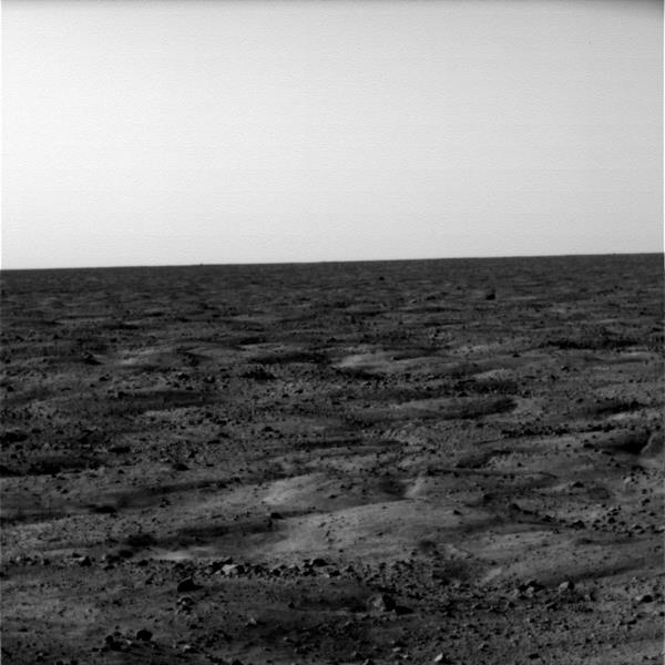
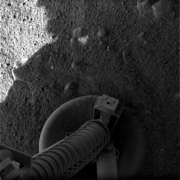
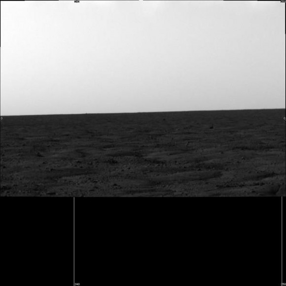
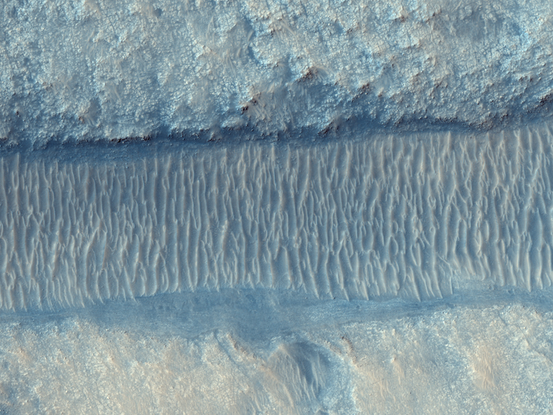
Here are a couple of colorized images of Phoenix’s first views of its landing site. They are a little more exciting than the black and white version, and the human eye can pick out more detail in color. This is an approximate-color image taken shortly after landing by the Phoenix’s Surface Stereo Imager, generated from two color filters, a violet and an infrared filter. It shows the vast plains of the northern polar region of Mars. The flat landscape is strewn with tiny pebbles and shows polygonal cracking, a pattern seen widely in Martian high latitudes and also observed in permafrost terrains on Earth. The polygonal cracking is believed to have resulted from seasonal freezing and thawing of surface ice.
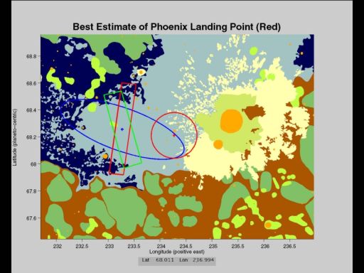
Phoenix touched down on the Red Planet at 7:53 EDT yesterday in an arctic region called Vastitas Borealis, at 68 degrees north latitude, 234 degrees east longitude.
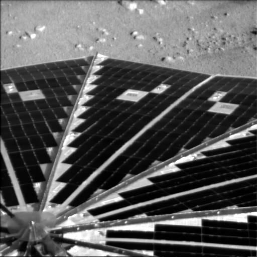
Polygonal cracks are visible in this close up image of the Mars arctic tundra. This color version was again generated using one of the first black and white image sent by Phoenix and processed with two color filters. The SSI camera on Phoenix will be calibrated with colors on the spacecraft itself in order to make sure the color images it sends back will show the “real” colors on Mars as close as possible. SSI has a 12-position color filter that ranges from optical to infrared.
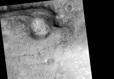
Phoenix’s approximate position on Mars is shown here. The red circle on the far right of the blue landing elipse is where the spacecraft is estimated to be. At the time this post is written, the Mars Reconnaissance Orbiter has probably already passed over this area on Mars and will attempt to image the lander on the surface of Mars. We’ll post that if the MRO team is successful in this difficult effort.
News Source: NASA


