In astronomy we love focusing on the bigger picture. We’re searching for exoplanets in the vast hope that we may begin to paint a picture of how planetary systems form; We’re using the Hubble Space Telescope to peer into the earliest history of the cosmos; And we’re building gravitational wave detectors in order to better understand the physical laws that dominate our universe.
All the while we continue to learn about our very own neighborhood. Only recently we learned that Europa has geysers, Mars was perhaps once a lush planet, and comets can in fact disintegrate. Discoveries in our solar system alone never cease to amaze.
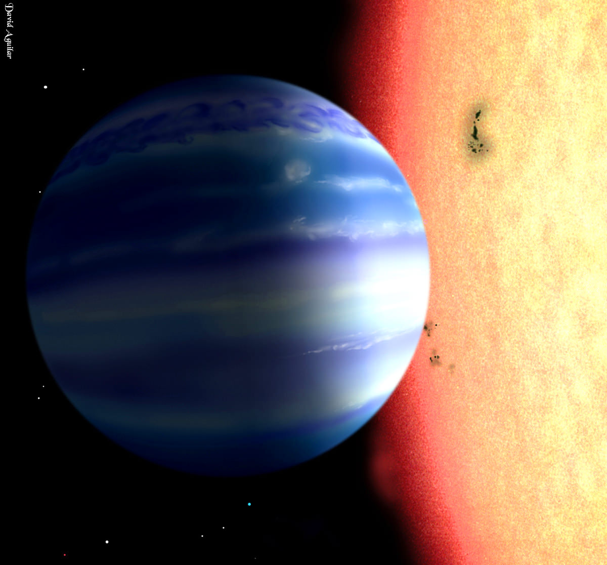
For the first time researchers are able to probe the hidden interiors of gas giants such as Jupiter and Saturn. With very little experimental knowledge about the hydrogen deep within such planets, we have always had to rely on mathematical models. But now, researchers have simulated the lower atmospheric layers of these planets in the lab.
The team of physicists led by Dr. Ulf Zastrau from the University of Jena heated cold liquid hydrogen to resemble the dense liquid hydrogen deep within a gas giant’s atmospheric layers.
The team used an X-ray laser operated by a national research center in Germany, Deutsches Elektronen-Synchrotron (DESY), to heat the liquid hydrogen, nearly instantaneously, from -253 to +12,000 degrees Celsius. Initially the X-ray heats only the electrons. But because each electron is bound to a proton, they transfer heat to the proton until a thermal equilibrium is reached. The molecular bonds break during this process, and a plasma of electrons and protons is formed.
In just under a trillionth of a second, physicists are able to create a plasma that’s thought to be radically similar to the plasma deep within the atmospheres of our beloved gas giants.
But first the team had to create cold hydrogen. While it’s abundant throughout the universe, it’s hard to get our hands on the stuff here on Earth. Instead researchers cooled gaseous hydrogen to -253 degrees Celsius using liquid helium. This was a very temperamental process, requiring precise temperature control. If the hydrogen got too cold it would freeze and the researchers would have to use a small heater to re-liquefy it. At the end of the day a jet of cold liquid hydrogen with a diameter no greater than 20 micrometers would flow into a vacuum.
Physicists would then shoot intense pulses of the X-ray laser at the cold hydrogen. They could control the precise timing of the X-ray laser’s “flash” in order to study the properties of liquid hydrogen. The first half of the flash heats up the hydrogen, but the second half of the flash is delayed by varying lengths, which allows the team to understand exactly how thermal equilibrium is established between the electrons and the protons.
The experimental results provide information on the liquid hydrogen’s thermal conductivity and its internal energy exchange, which are both crucial to better understanding gas giants. The experiments will have to be repeated at other temperatures and pressures in order to create a detailed picture of the entire planetary atmosphere.
“Hopefully the results will provide us among others with an experimentally based answer to the question, why the planets discovered outside our solar system do not exist in all imaginable combinations of properties as age, mass, size or elemental composition, but may be allocated to certain groups,” said Dr. Thomas Tschentscher, scientific director of the European XFEL X-ray laser in a press release.
The paper has been accepted in the scientific journal Physical Review Letters and is available for download here.