[/caption]
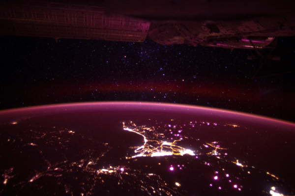
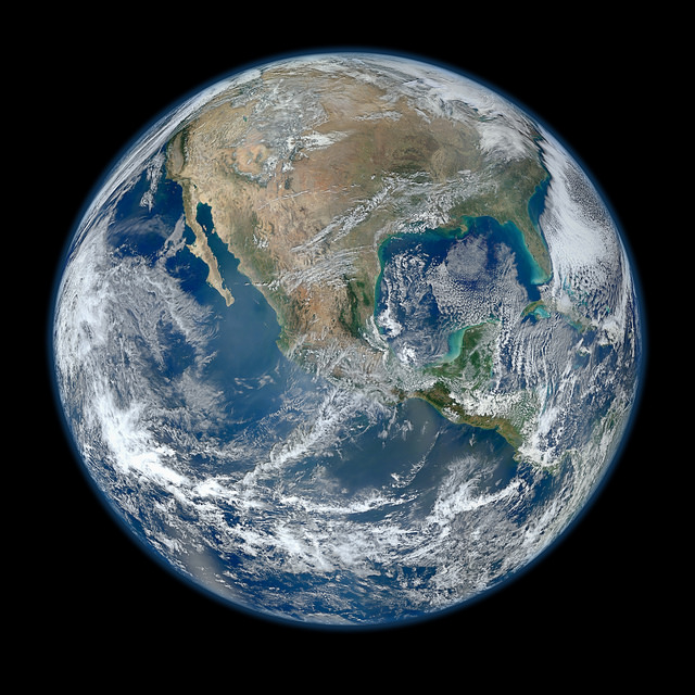
A new high-definition version of the ‘Blue Marble’ has been taken from the newest Earth observation satellite. The just-renamed Suomi NPP satellite took numerous images on January 4, 2012 and this composite image was created from several “swaths” of Earth. It is a stunningly beautiful look at our home planet, with the largest versions of the image showing about 1.6 km (1 mile) per pixel. This Sun-synchronous Earth-orbiting satellite is 824 kilometers (512 miles) above Earth, and it gets a complete view of our planet every day. It is the first of a new generation of satellites that will observe many facets of how our Earth may be changing.
Originally launched as the National Polar-orbiting Operational Environmental Satellite System Preparatory Project (NPP), it was just renamed ‘Suomi NPP’ on to honor a pioneer in the use of satellites, the late Verner E. Suomi.
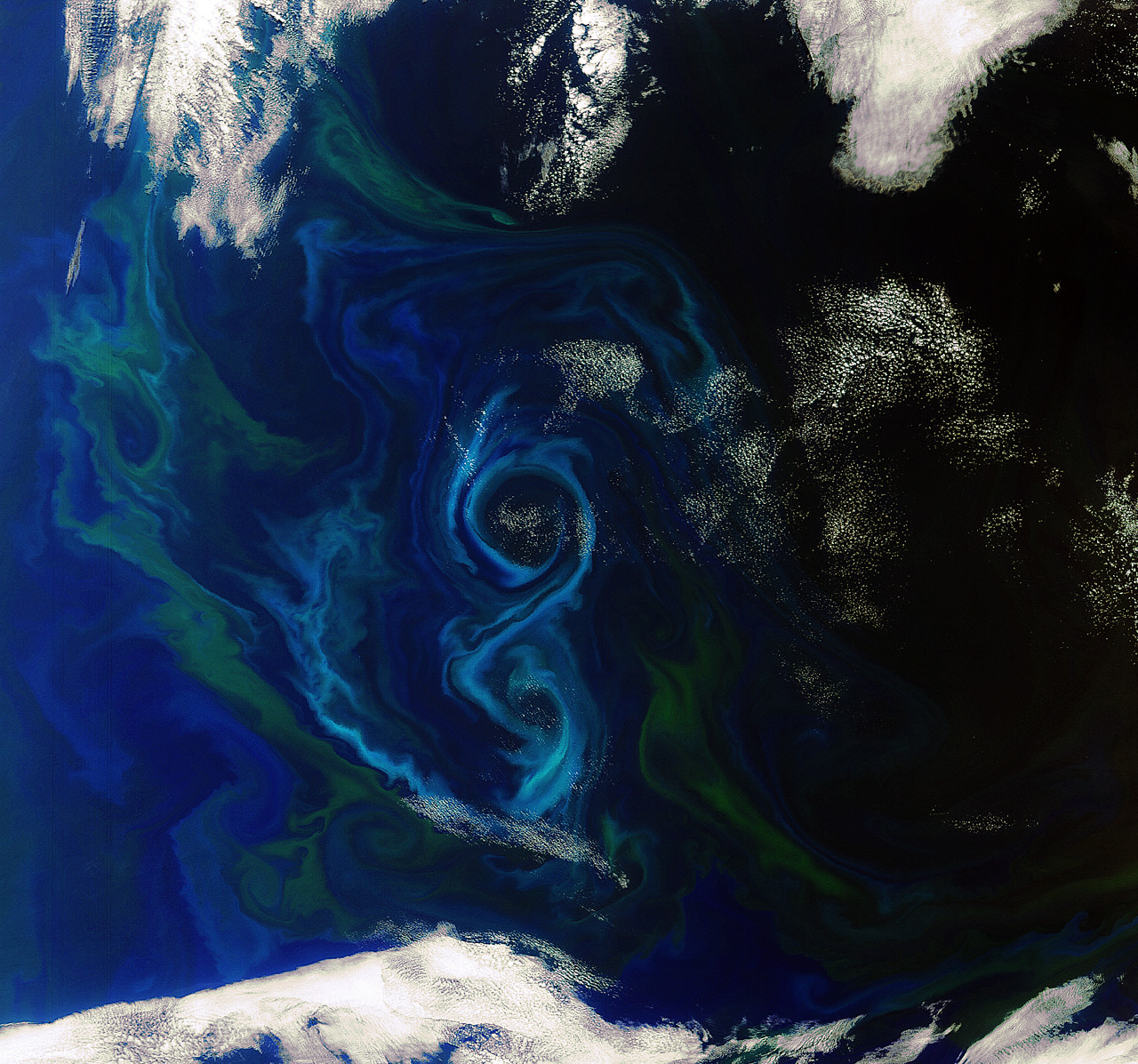
See below for an image showing these “swaths” from global images taken on November 24, 2011.

These images were taken with the The Visible/Infrared Imager Radiometer Suite or VIIRS instrument aboard Suomi NPP.
VIIRS images the surface in long wedges measuring 3,000 kilometers (1,900 miles) across. The swaths from each successive orbit overlap one another, so that at the end of the day, the sensor has a complete view of the globe. The Arctic is missing because it is too dark to view in visible light during the winter.
The NPP satellite was placed in a Sun-synchronous orbit, so its path takes the satellite over the equator at the same local (ground) time in every orbit. This orbit allows the satellite to maintain the same angle between the Earth and the Sun so that all images have similar lighting. This consistent angle is important because it allows scientists to compare images from year to year without worrying about extreme changes in shadows and lighting.
Suomi NPP is carrying five instruments on board, and the biggest and most important instrument is VIIRS.
Unfortunately, an anomaly has been discovered in the instrument. During the checkout phase after it launched in October 2011, engineers detected a larger than expected decrease in sensor sensitivity in four of VIIRS’s near-infrared and visible channels.
An analysis revealed an anomalous material on the surface of the mirror, and further investigation on the ground discovered a non-standard process that occurred during the mirror coating as a potential source of tungsten oxide contamination on the VIIRS mirrors. Tungsten oxides could cause the surface of the mirror to darken.
This evidence suggests that the cause of the contamination is limited to the VIIRS instrument, and is not a concern for other NPP instruments. Officials from NPP said that while this problem is likely irreversible, the darkening of the VIIRS mirror caused by the contamination is expected to reach a plateau and remain at that level for the life of the mission. Although testing on this issue is continuing, NPP mission managers expect this plateau to still provide sufficient margins to allow VIIRS to meet its design requirements.
Still, the images have been spectacular so far from Suomi NPP and we look forward to more high definition views of our Blue Marble.
See the complete set of images from this spacecraft on their Flickr site.