
NASA’s next Mars rover set for liftoff in 2020 should focus on three primary objectives; seeking signs of past life, collecting a cache of carefully chosen samples for eventual return to Earth and developing technologies that will help enable future human missions to the Red Planet some two decades from now.
The 2020 goals were laid out publicly today (July 9) by a panel of scientists on the ‘Science Definition Team’ and charged by NASA with defining the key science objectives for the new mission.
The science objectives and how to accomplish them are outlined in considerable detail in a newly issued 154 page report handed over to the space agency and discussed at today’s NASA briefing for the media.
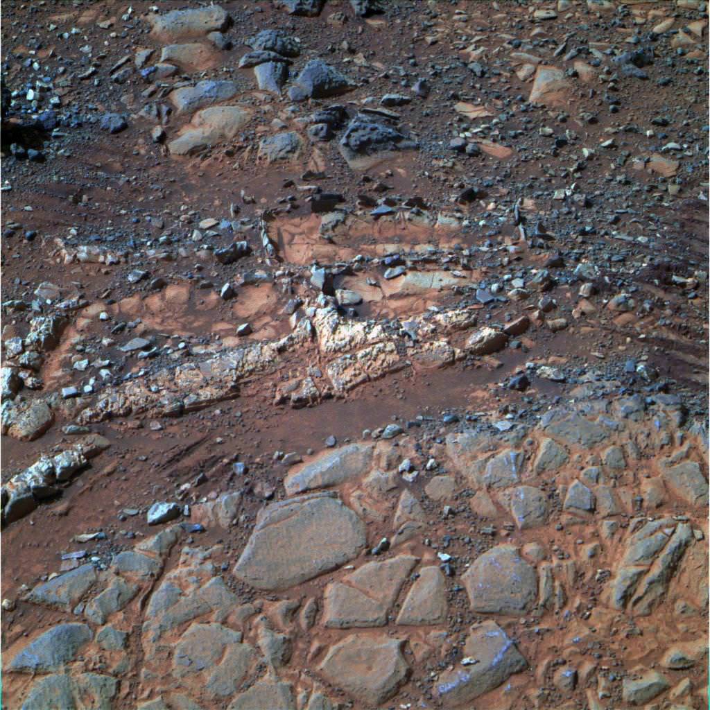
Looking for signs of ancient life and preserved biosignatures on Mars at a place that was once habitable is the top priority of the 2020 mission. The SDT report states that the landing site should be chosen specifically to “explore the geology of a once habitable site.”
“We need a highly mobile rover that can make ‘in situ’ science measurements,” said Jack Mustard, chairman of the Science Definition Team and a professor at the Geological Sciences at Brown University in Providence, R.I., at the briefing.
“The rover would use its own instruments on Mars for visual, mineralogical and chemical analysis down to a microscopic scale to identify candidate features that may have been formed by past life,” states the SDT report.
“We can’t do this now with Curiosity,” explained Mustard. “We need higher resolution.”
Looking for ‘extant’ life, that is life surviving on Mars today, would be a by-product of the search for organic molecules and preserved biosignatures of life – past or present.
The Mars 2020 ‘Science Definition Team’ (SDT) is comprised of 19 scientists and engineers from academia and industry. They were appointed by NASA in January 2013 to thoroughly and quickly evaluate a wide range of options to accomplish the highest priority planetary science objectives and achieve President Obama’s challenge to send humans to Mars in the 2030s.
Retrieving soil and rock samples from Mars for analysis back on Earth by research teams worldwide using all the most advanced analytical instruments available to humankind with unprecedented capability has been the ‘Holy Grail’ of Mars exploration for several decades.
But the enormous cost and technical complexity of a Mars Sample Return (MSR) mission has caused it to be repeatedly postponed.
The 2020 rover will be designed to make real progress on sample return for the first time. It will be capable of coring into rocks and storing 31 highly compelling Martian samples for return by a follow on mission to the Red Planet.
“But the timing on actually returning those samples to Earth is yet to be determined,” said John Grunsfeld, NASA’s associate administrator for science in Washington.
Everything NASA does is budget driven and the fiscal climate is rather gloomy right now.
“Crafting the science and exploration goals is a crucial milestone in preparing for our next major Mars mission,” said John Grunsfeld, NASA’s associate administrator for science in Washington, in a statement.
Work on the new rover must begin soon in order to achieve the mandatory 2020 launch deadline. Launch opportunities to Mars only open every 26 months and delays could balloon the costs by several hundred million dollars.
“The objectives determined by NASA with the input from this team will become the basis later this year for soliciting proposals to provide instruments to be part of the science payload on this exciting step in Mars exploration,” adds Grunsfeld.
“The 2020 rover will take a major step in ‘seeking signs of life” said Jim Green, director of NASA’s Planetary Science Division in Washington, at the briefing. “NASA will issue a call for science instruments this fall.”
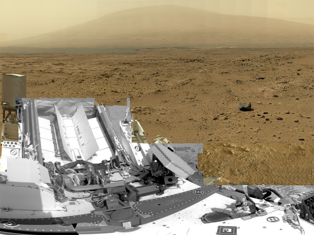
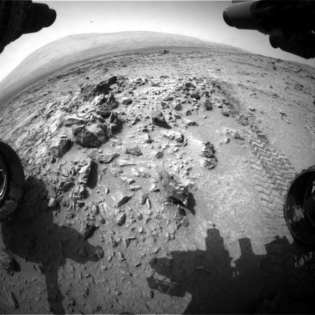
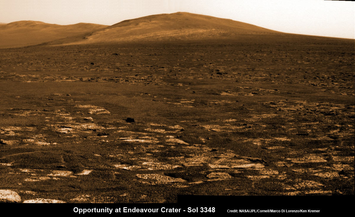
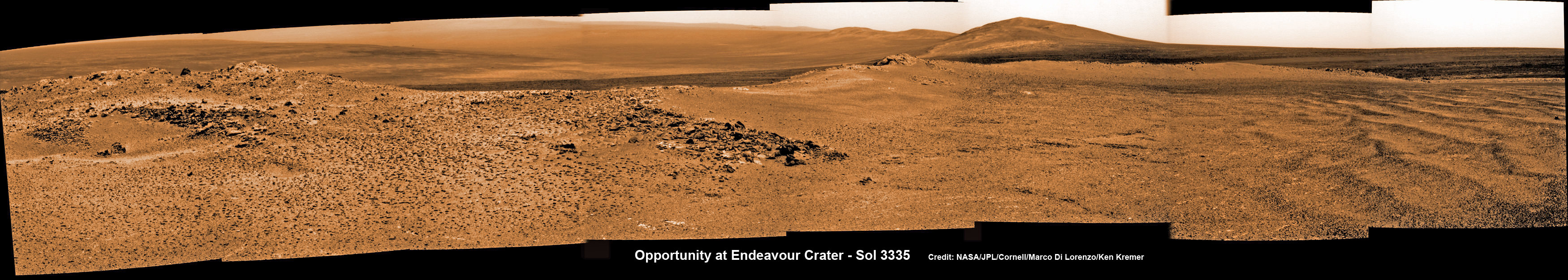
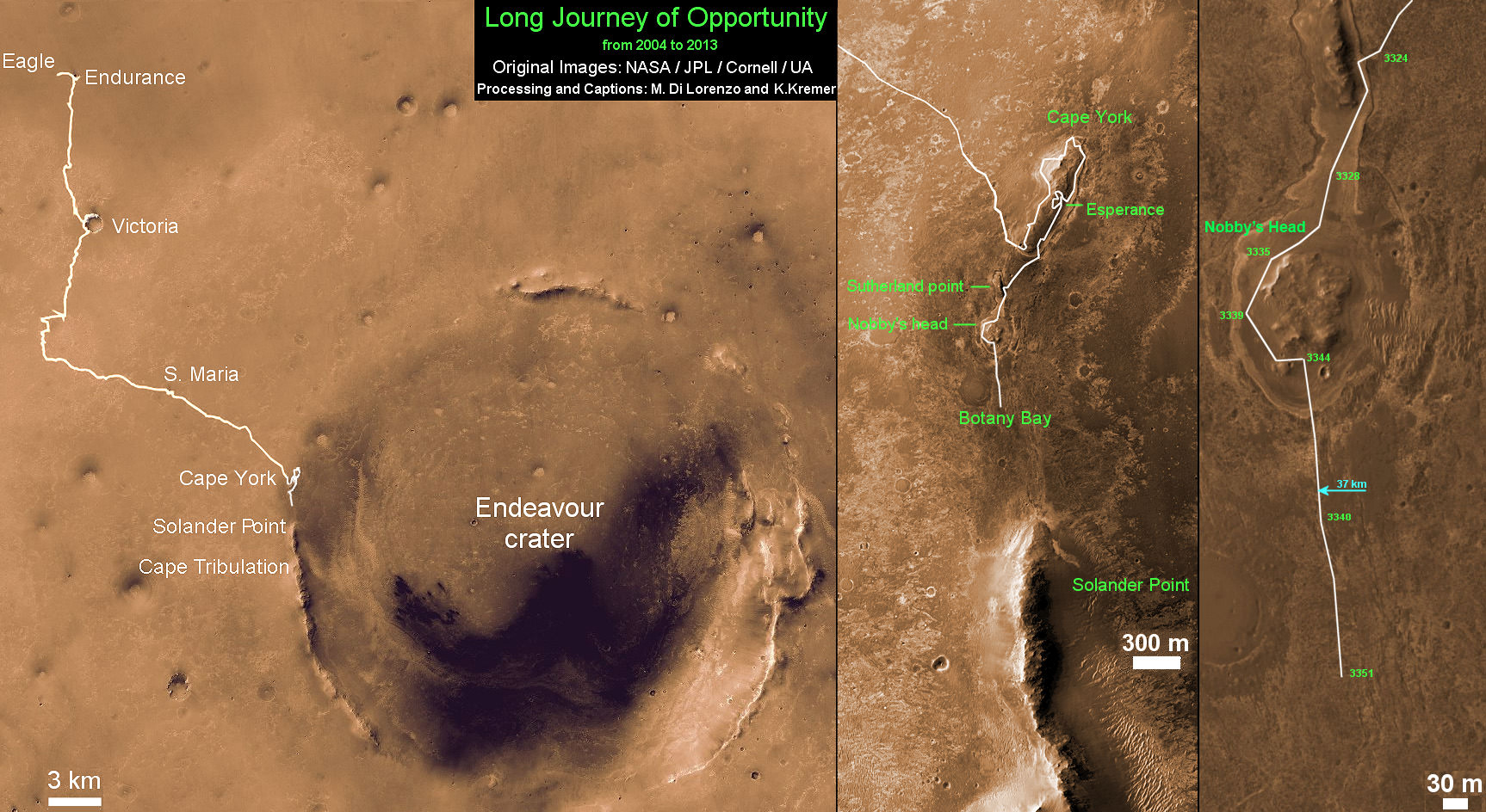
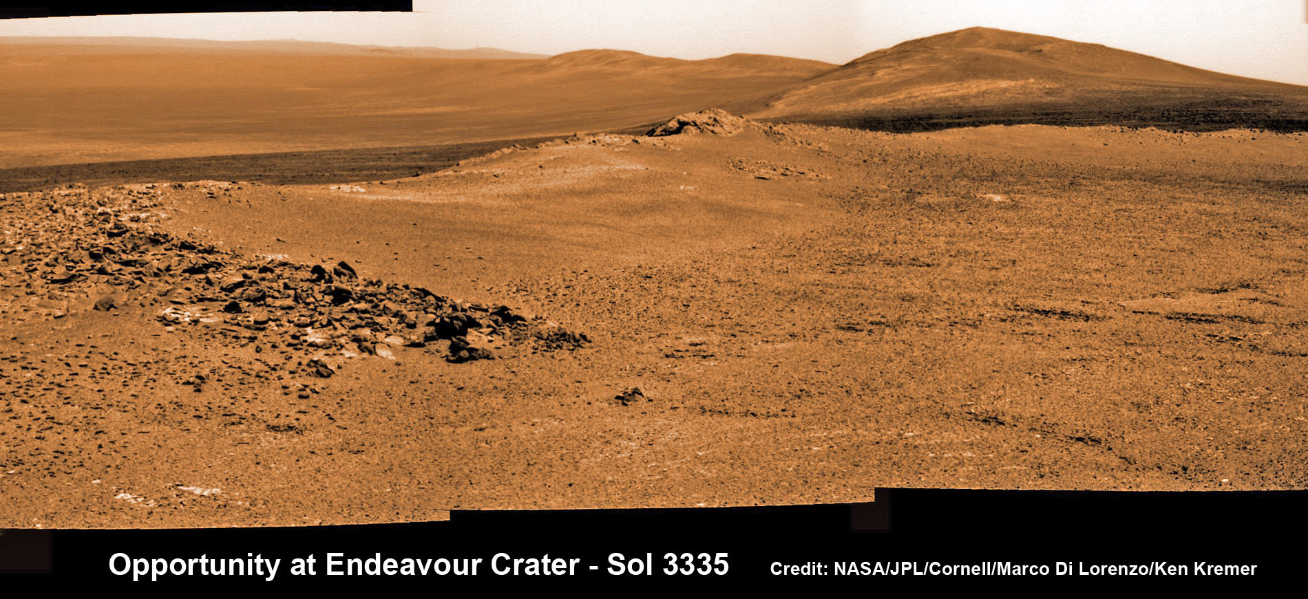
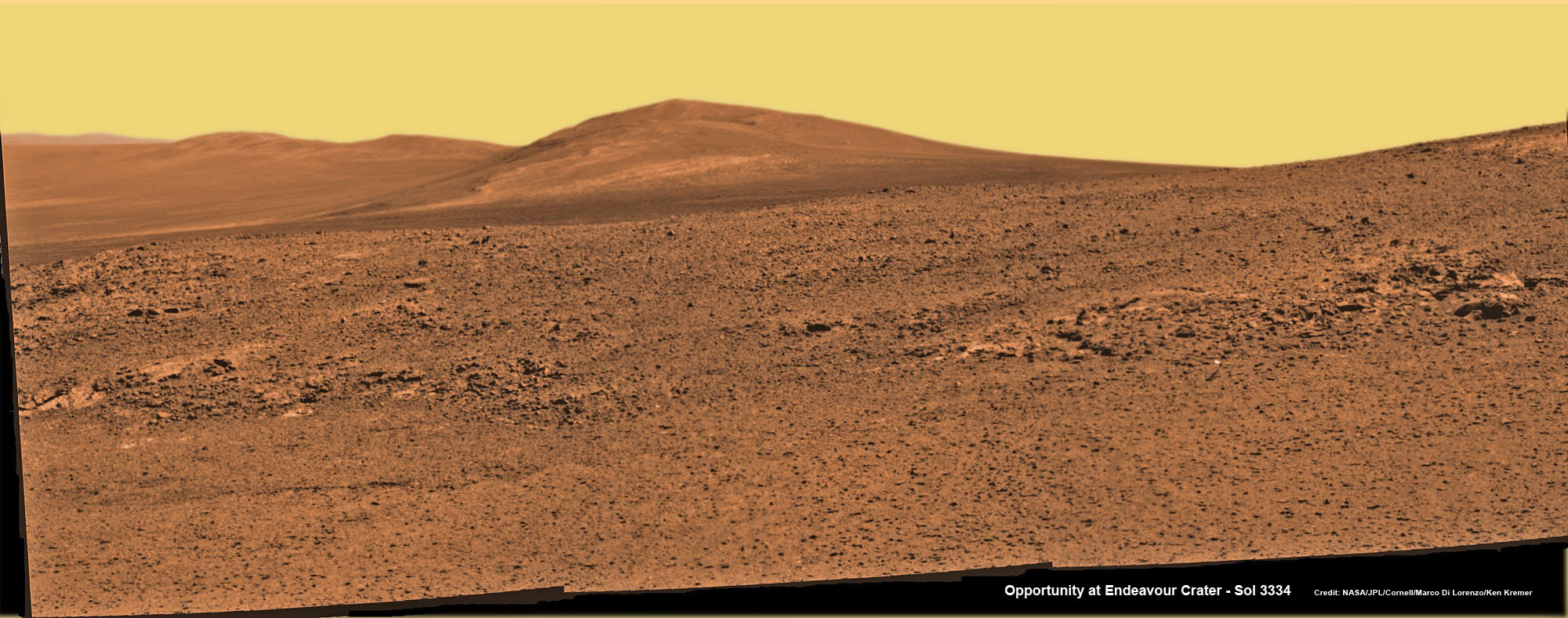
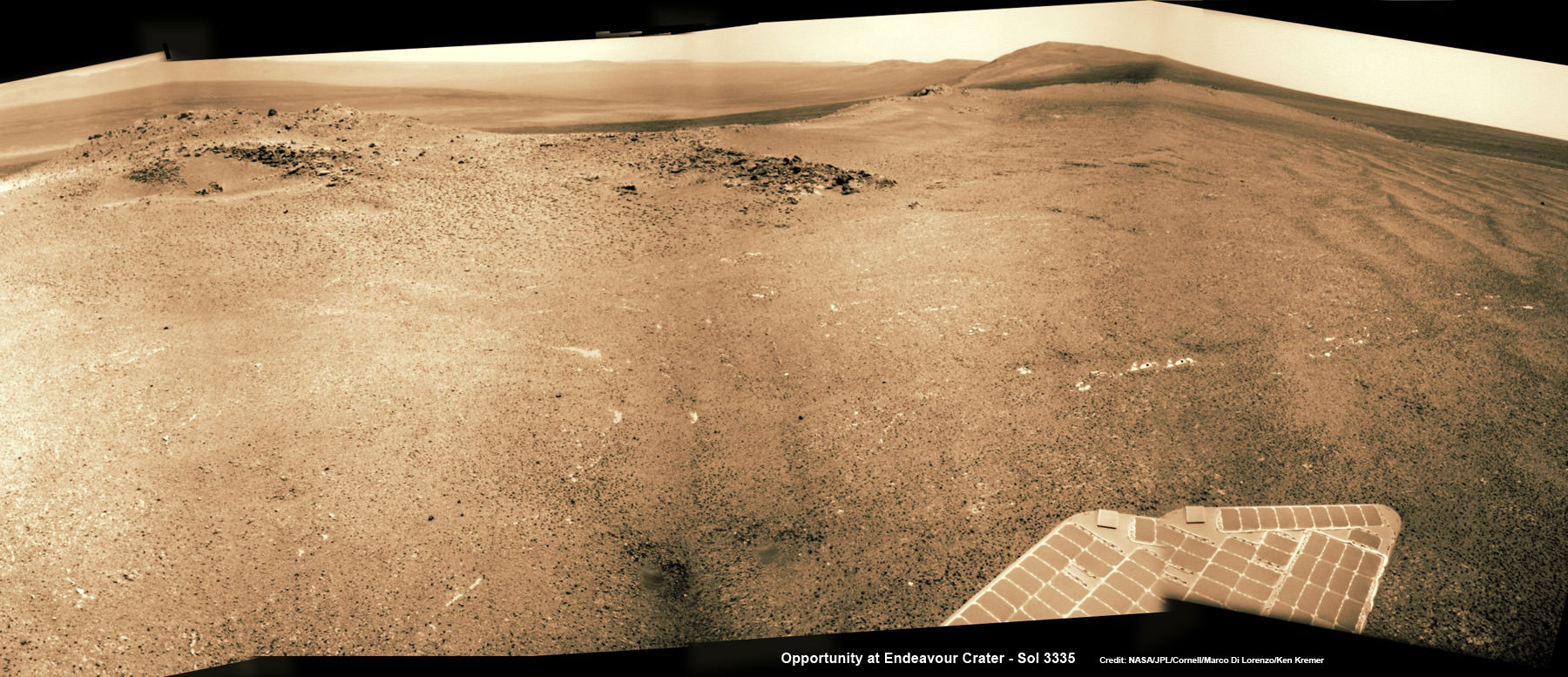
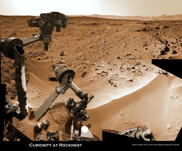
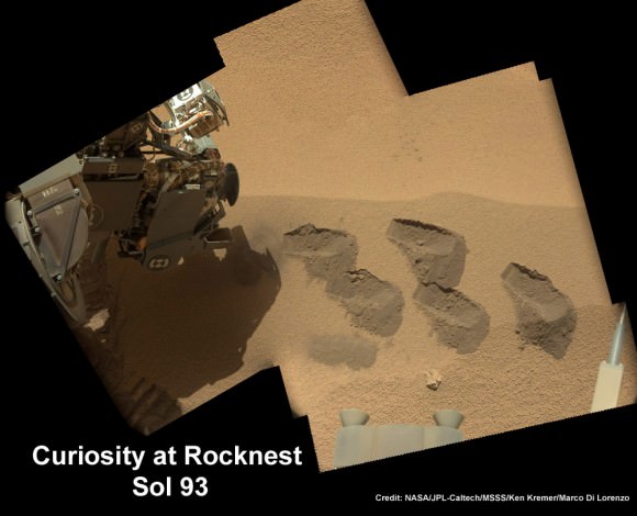
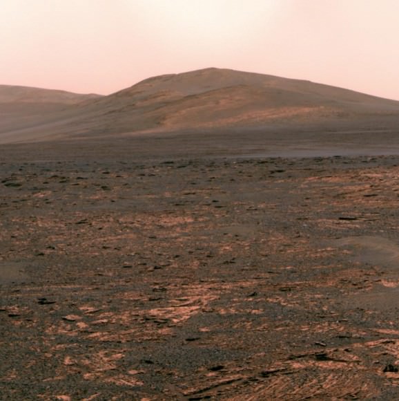
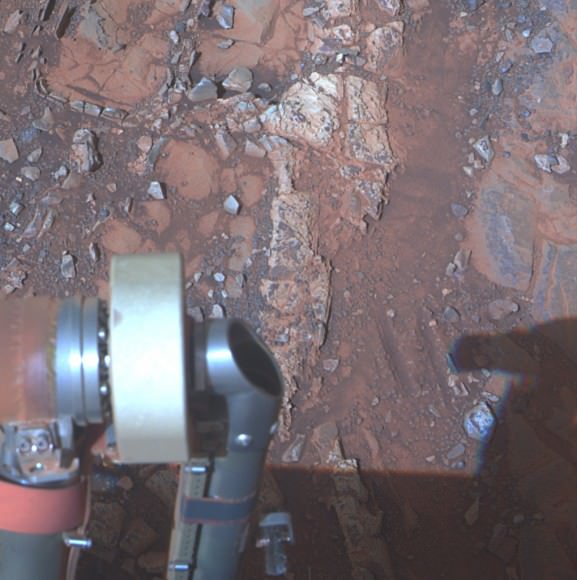
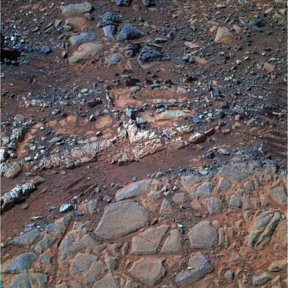
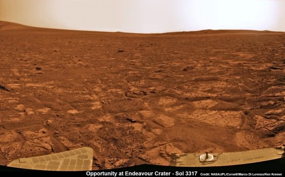
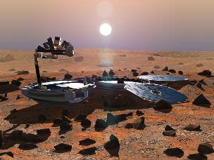
The new mission would build upon the demonstrated science accomplishments of earlier missions like Curiosity, Spirit, Opportunity and Phoenix while vastly advancing the capabilities of the robots research instruments.
“Here’s the bottom line. Questions drive science,” explained Lindy Elkins-Tanton, SDT member and director of the Carnegie Institution for Science’s Department of Terrestrial Magnetism, Washington.
“We should be seeking to answer the very biggest questions. And one of the very biggest questions for all of humankind is – ‘Are we alone?’ And that is the question we’re hoping to make really big advances with on with this Mars 2020 mission.”
Grunsfeld explained that NASA has budgeted “for a mission cost of $1.5 Billion plus the cost of the launcher.”
The 2020 rover chassis, with some modifications, will be based on the blueprints of the highly successful Curiosity rover to keep down the cost and minimize risks. But the science instruments will be completely new and updated.
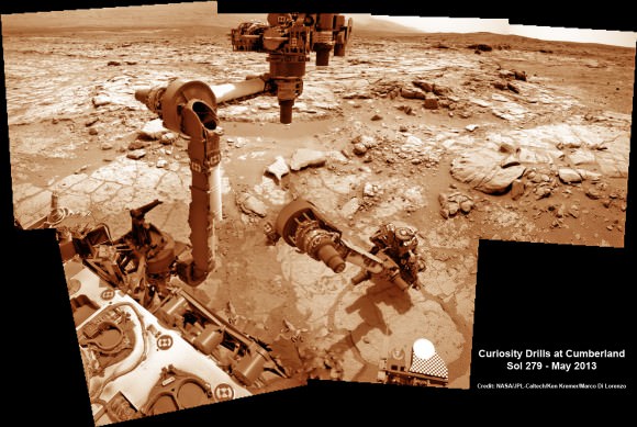
NASA’s 1 ton Curiosity rover touched down nearly a year ago and has already discovered that the Red Planet has the chemical ingredients and environmental conditions for a habitable zone that could have supported living Martian microbes.
The next logical step is to look for the ancient signs of life that would be preserved in the rock record on Mars.


