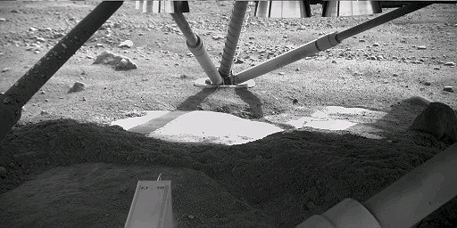
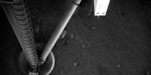
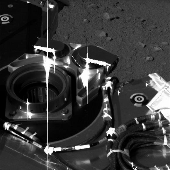
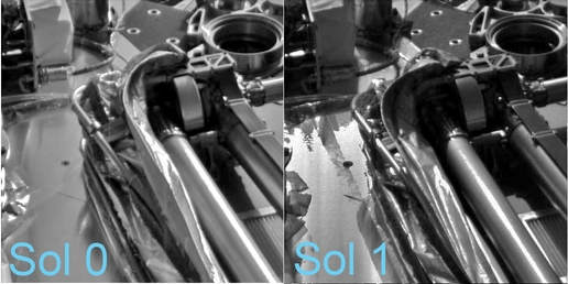
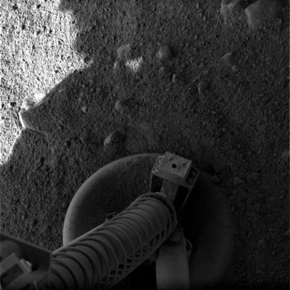
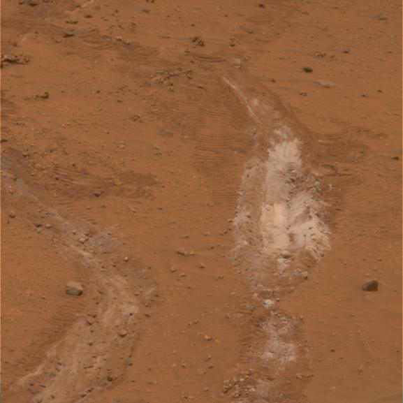
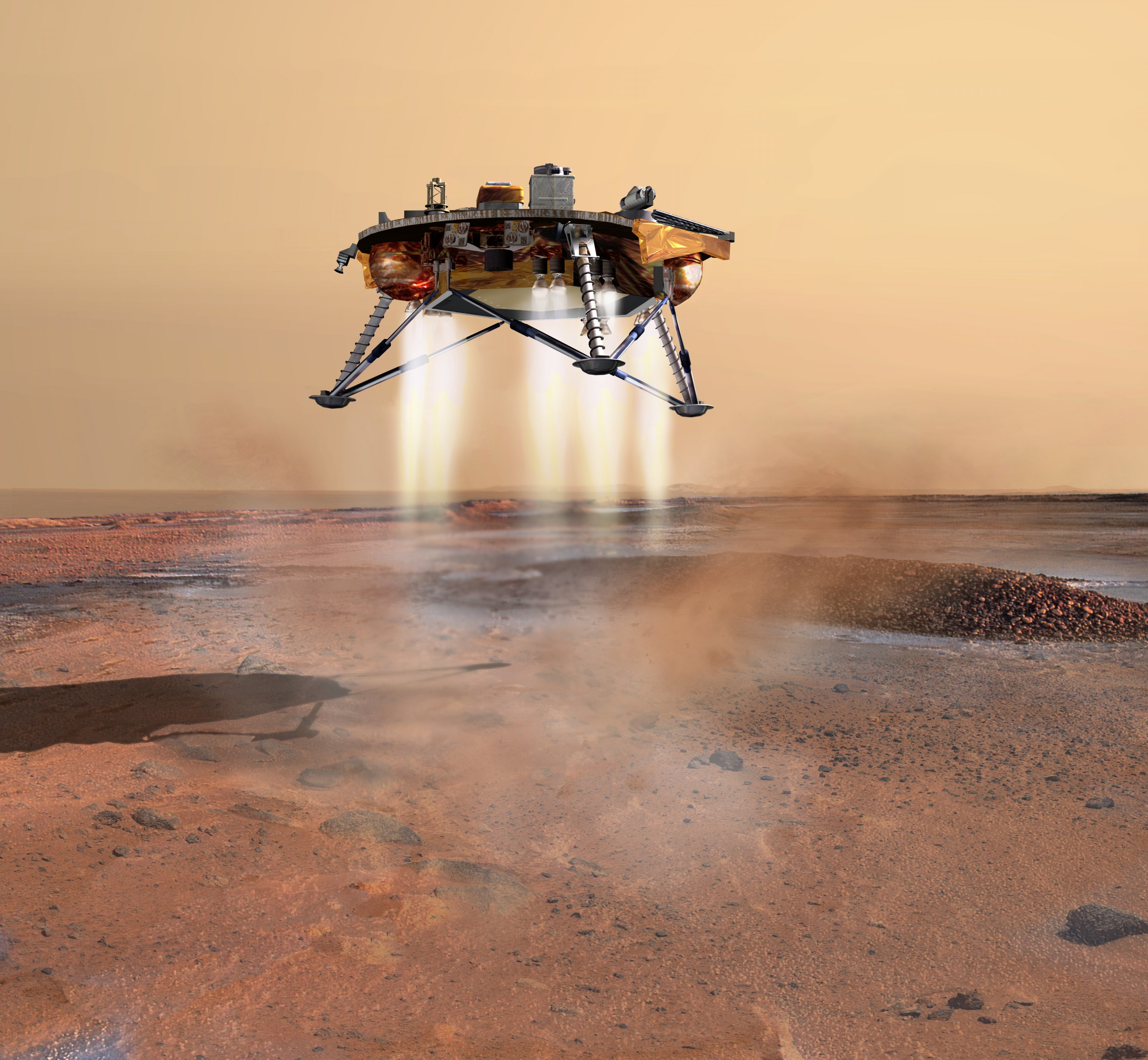
Scientists from the Phoenix mission say the lander may have exposed ice just beneath Mars surface when soil was blown away as the spacecraft landed last Sunday, May 25. The possible ice appears in an image the robotic arm camera took underneath the lander, near a footpad. The robotic arm was moved so the camera could peer beneath the lander to make sure Phoenix’s footing is secure before any digging operations start. In the top center of the image above is the area in question.
“We could very well be seeing rock, or we could be seeing exposed ice in the retrorocket blast zone,” said Ray Arvidson of Washington University, St. Louis, Mo., co-investigator for the robotic arm. “We’ll test the two ideas by getting more data, including color data, from the robotic arm camera. We think that if the hard features are ice, they will become brighter because atmospheric water vapor will collect as new frost on the ice.”
Arvidson said in today’s Phoenix press conference that Phoenix will provide full confirmation of what lies below the lander when it excavates and analyzes layers in the nearby landscape.
One bad piece of news for the nearly flawless mission, however. The Thermal and Evolved Gas Analyzer (TEGA) instrument that “bakes and sniffs” samples to identify the chemical make-up of the soil might have a short circuit. In a test conducted on Thursday, the instrument exhibited electrical behavior consistent with an intermittent short circuit in the spectrometer portion. The team is currently developing diagnostic steps that will be sent to the lander in the next few days. TEGA includes a calorimeter that tracks how much heat is needed to melt or vaporize substances in a sample, plus a mass spectrometer to examine vapors driven off by the heat.
“We have developed a strategy to gain a better understanding of this behavior, and we have identified workarounds for some of the possibilities,” said William Boynton of the University of Arizona, Tucson, lead scientist for the instrument.
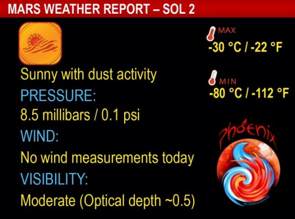
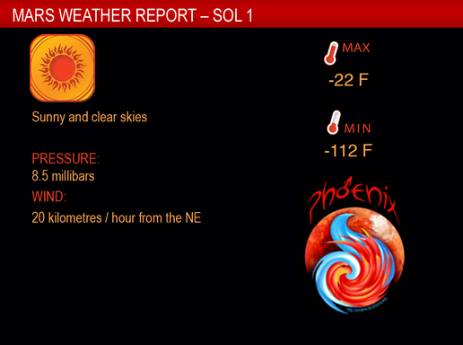
The latest data from the Canadian Space Agency’s weather station shows another sunny day at the Phoenix landing site with temperatures holding at minus 30 degrees Celsius (minus 22 degrees Fahrenheit) as the sol’s high, and a low of minus 80 degrees Celsius (minus 112 degrees Fahrenheit). The LIDAR instrument was activated for a 15-minute period just before noon local Mars time, and showed increasing dust in the atmosphere.
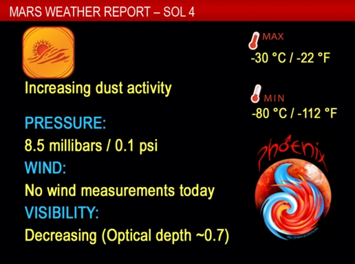
If you’d like to download this Phoenix weather widget for your desktop, check HERE.
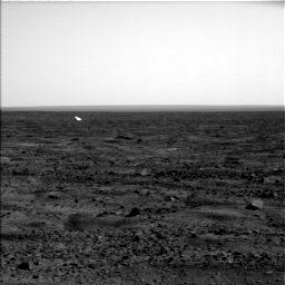
“This is the first time LIDAR technology has been used on the surface of another planet,” said the meteorological station’s chief engineer, Mike Daly, from MDA in Brampton, Canada. “The team is elated that we are getting such interesting data about the dust dynamics in the atmosphere.” HERE is an animation of the LIDAR
The mission passed a “safe to proceed” review on Thursday evening, meeting criteria to proceed with evaluating and using the science instruments.
“We’re still in the process of checking out our instruments,” Phoenix project scientist Leslie Tamppari of JPL said. “The process is designed to be very flexible, to respond to discoveries and issues that come up every day. We’re in the process of taking images and getting color information that will help us understand soil properties. This will help us understand where best to first touch the soil and then where and how best to dig.”
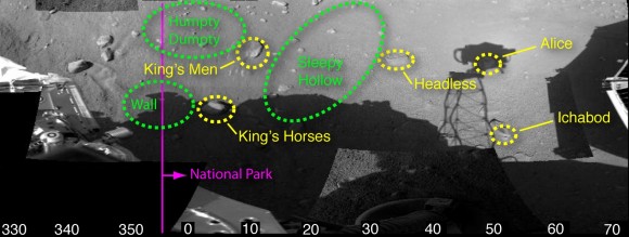
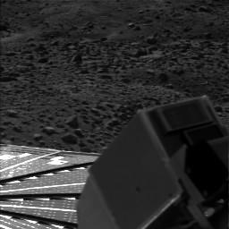
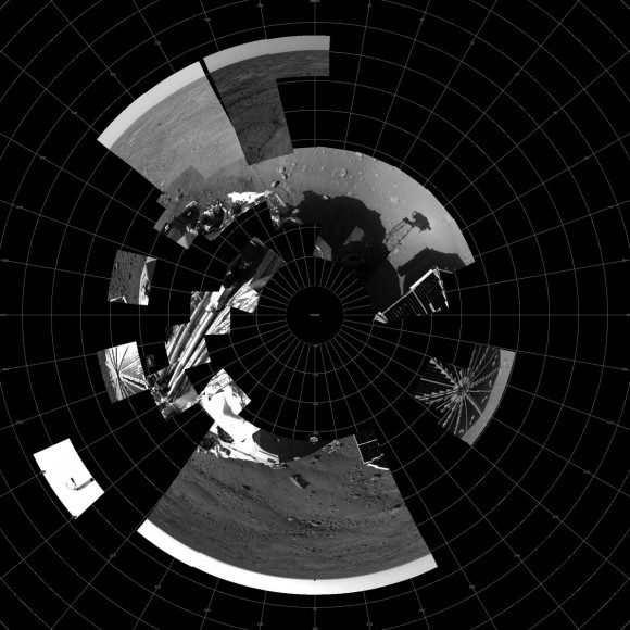
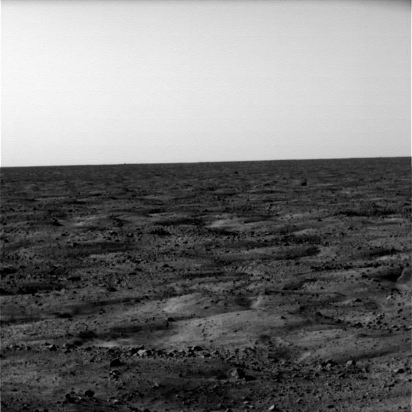
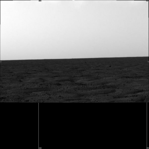
And finally, here’s the latest version of Phoenix’s panorama, compiled of images from Phoenix’s Stereo Surface Imager (SSI) camera that were taken on sols 1 and 3. The top portion has been stretched eight fold to show details of features in the background. Phoenix’s parachute, backshell, heatshield, and impact site can also be seen.


