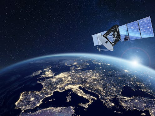
In an effort to enhance the educational outreach of their Starlink constellation, there is an interactive global map of their Starlink internet satellites, which provides live coverage of every satellite in orbit around the Earth. This interactive map and information was produced by Will DePue, who is a an OpenAI programmer and openly states he is not affiliated with SpaceX or Starlink. This interactive map comes as SpaceX continues to launch Starlink satellites into orbit on a near-weekly basis with the goal of providing customers around the world with high-speed internet while specifically targeting rural regions of the globe. In 2022, Starlink officially reached all seven continents after Starlink service became available in Antarctica. Additionally, SpaceX announced in 2023 a partnership with T-Mobile for Starlink to provide mobile coverage, as well.
Continue reading “Watch a Real-Time Map of Starlinks Orbiting Earth”See the Dramatic Final Moments of the Doomed ERS-2 Satellite

When a satellite reaches the end of its life, it has only two destinations. It can either be maneuvered into a graveyard orbit, a kind of purgatory for satellites, or it plunges to its destruction in Earth’s atmosphere. The ESA’s ERS-2 satellite took the latter option after 30 years in orbit.
Continue reading “See the Dramatic Final Moments of the Doomed ERS-2 Satellite”Anti-Satellite Weapons Will Threaten Everyone’s Access to Space
It’s a headline straight out of the movies yet the White House has recently confirmed it believes that Russia is building space-based anti-satellite weapon! There seems to be no conclusive evidence what this might be but one option may be a nuclear bomb that would indiscriminately wipe out satellites within a huge volume of space! Not only would it devastate satellites but would cause more problems down on the surface and create a whole load of space junk.
Continue reading “Anti-Satellite Weapons Will Threaten Everyone’s Access to Space”New NASA Report Suggests We Could See Space-Based Power After 2050
Space-based solar power (SBSP) has been in the news recently, with the successful test of a solar power demonstrator in space taking place last summer. While the concept is fundamentally sound, there are plenty of hurdles to overcome if the technology is to be widely adopted – not the least of which is cost. NASA is no stranger to costly projects, though, and they recently commissioned a study from their internal Office of Technology, Policy, and Strategy that suggests how NASA could continue to support this budding idea. Most interestingly, if the technological cards are played right, SBSP could be the most carbon-efficient, lowest-cost power source for humanity by 2050.
Continue reading “New NASA Report Suggests We Could See Space-Based Power After 2050”NASA Launches a New Mission to Study the Effects of Climate Change
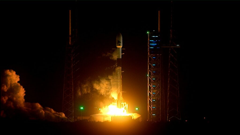
NASA’s Plankton, Aerosol, Climate, ocean Ecosystem (PACE) satellite successfully launched and reached on Thursday, February 10th. The mission took off from Space Launch Complex 40 at Cape Canaveral Space Force Station in Florida, at 1:33 am EST 10:33 pm (PST) atop a SpaceX Falcon 9 rocket. About five minutes after launch, NASA confirmed that ground stations on Earth had acquired a signal from the satellite and were receiving data on its operational status and capabilities post-launch. For the next three years, the mission will monitor Earth’s ocean and atmosphere and study the effects of climate change.
Continue reading “NASA Launches a New Mission to Study the Effects of Climate Change”This Alien Landscape is Actually a Microscopic View of an Atomic Clock

Navigation satellites couldn’t accomplish anything without extremely accurate clocks. But a regular clock won’t do. Only atomic clocks are accurate enough, and that’s because they tell time with electrons.
Those atomic clocks wear out over time, and that’s what the image shows.
Continue reading “This Alien Landscape is Actually a Microscopic View of an Atomic Clock”Satellite Data Shows US East Coast is Sinking

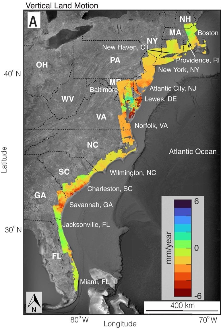
Based on satellite imagery, geologists have determined major cities on the U.S. Atlantic coast are sinking, some areas as much as 2 to 5 millimeters (.08-0.2 inches) per year. Called subsidence, this sinking of land is happening at a faster rate than was estimated just a year ago. In a new paper published in the Proceedings of the National Academies of Sciences, researchers say their analysis has far-reaching implications for community and infrastructure resilience planning, particularly for roadways, airport runways, building foundations, rail lines, and pipelines.
Continue reading “Satellite Data Shows US East Coast is Sinking”Japan’s New X-Ray Observatory Sees First Light

XRISM, the X-ray Imaging and Spectroscopy Mission, is a joint NASA/JAXA mission led by JAXA. The X-ray space telescope began its mission in low-Earth orbit on September 6th, 2023. Science operations won’t begin until later this year, but the satellite’s science team has released some of the telescope’s first images.
Continue reading “Japan’s New X-Ray Observatory Sees First Light”Millions of Satellites Could Have a Profound Effect on the Earth’s Ionosphere
Hardly a day goes by where a story hits the headlines about our abuse of the Earth’s precious environment be that the atmosphere or the oceans, forests or desert. When it comes to the atmosphere we all tend to immediately turn our attention to pollution, to gasses being released and disturbing the delicate balance. Yet a paper recently published points to a new demon, megaconstellations of satellites damaging the ionosphere – the ionised part of the upper atmosphere.
Continue reading “Millions of Satellites Could Have a Profound Effect on the Earth’s Ionosphere”After Stalling Out for 40 Years, the Largest Iceberg in the World is on the Move

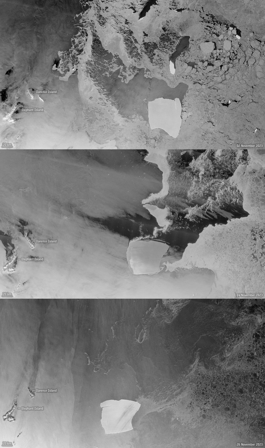
In 1986, a gigantic iceberg separated from the Fichner-Ronne ice shelf in West Antarctica. It was so big that it became grounded, stuck to the seafloor, and remained in position for 40 years. Finally, it has now been pushed off the seafloor and has begun drifting in the Weddell Sea to a region in the South Atlantic called Iceberg Alley. Designated A23a, this monster berg measures 4000 sq km (1,500 square miles) and is about 400 meters (1,300 feet) thick – the world’s largest.
Continue reading “After Stalling Out for 40 Years, the Largest Iceberg in the World is on the Move”


