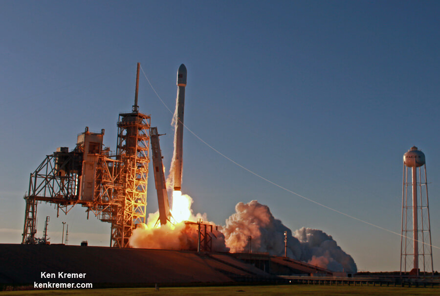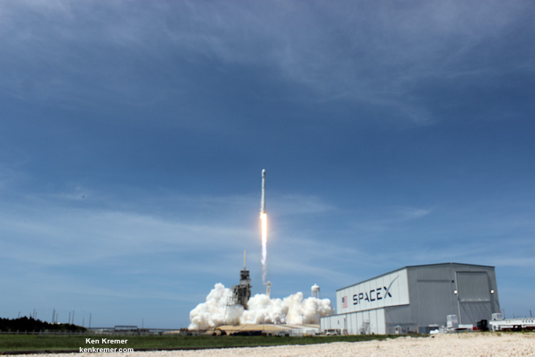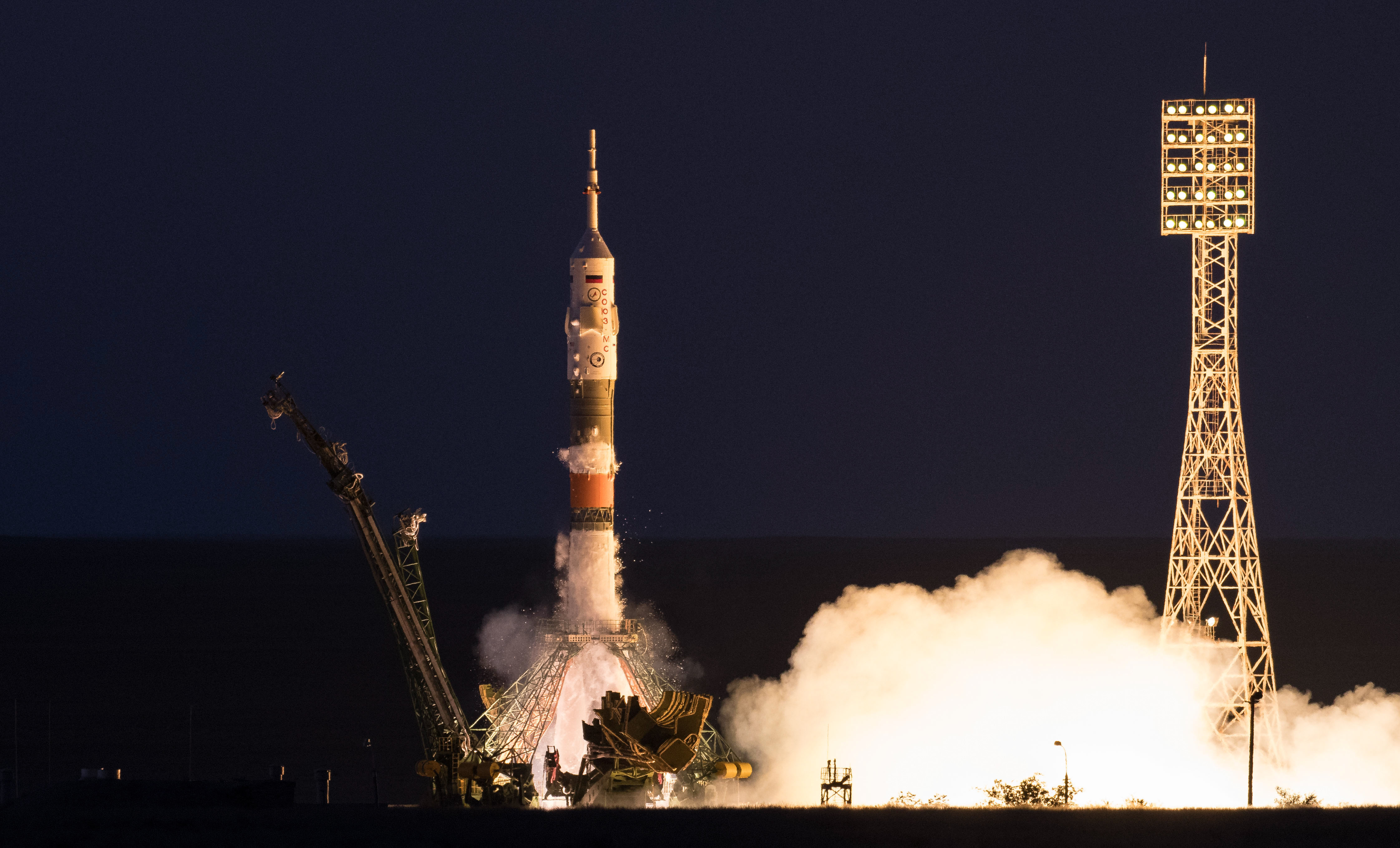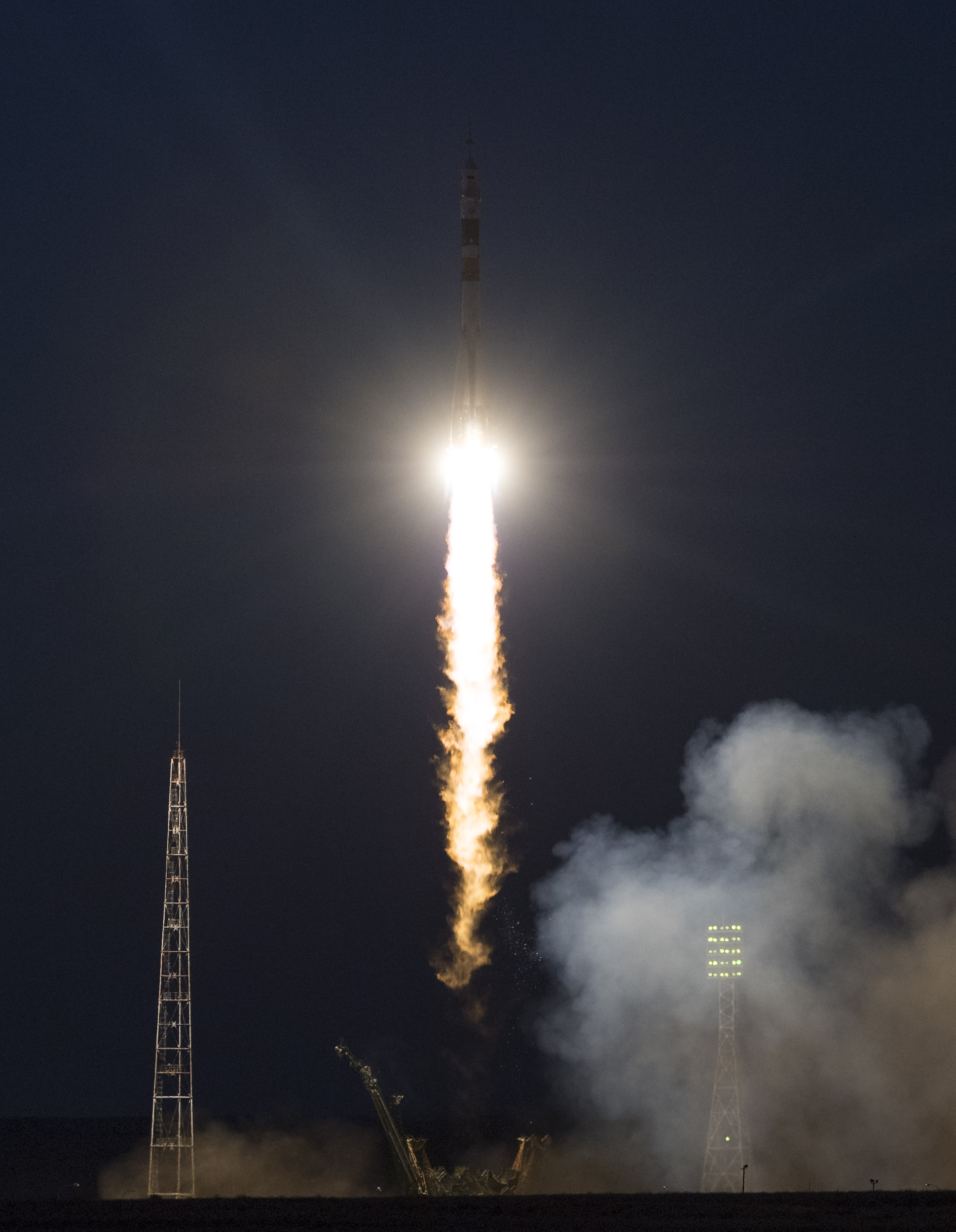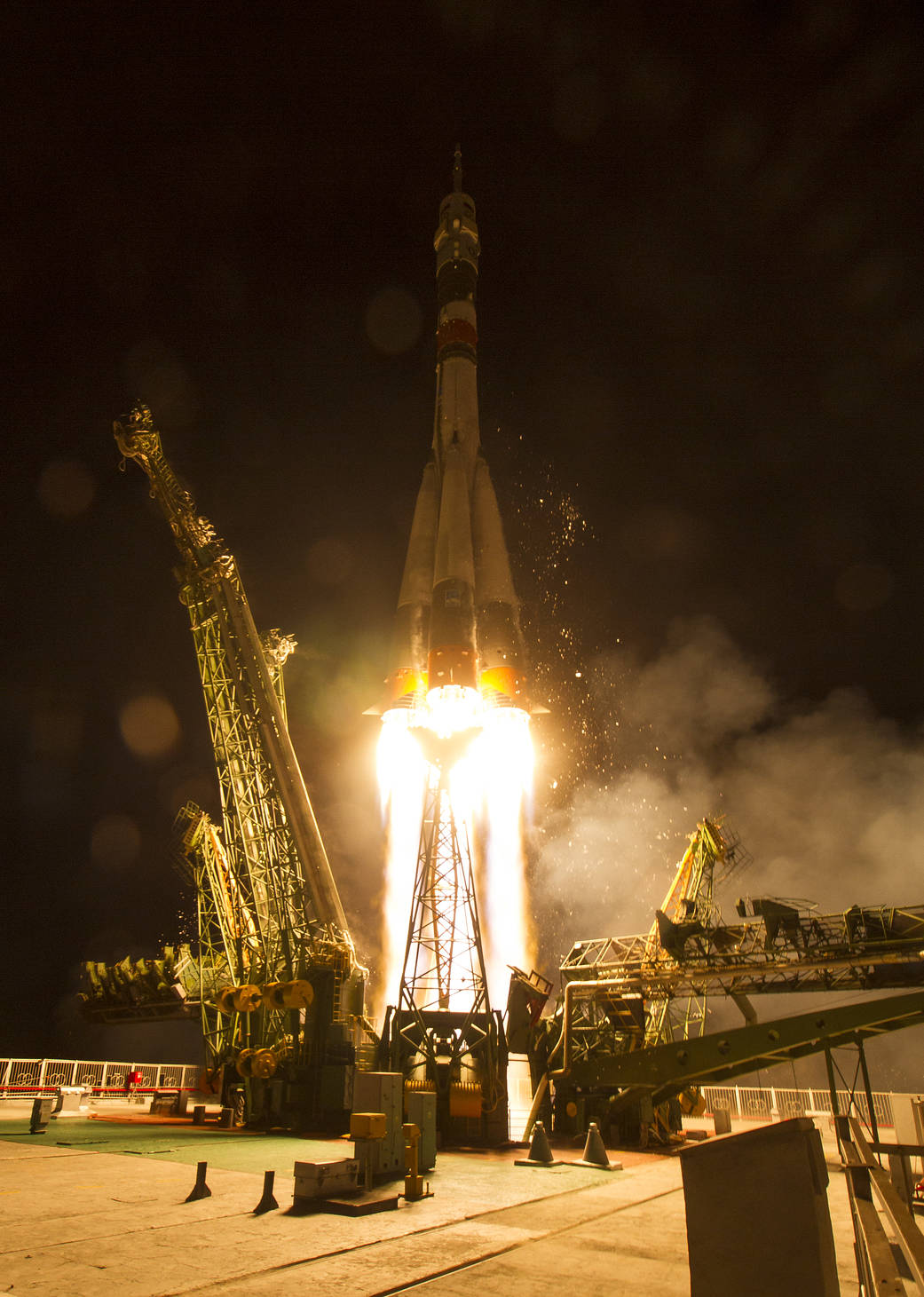
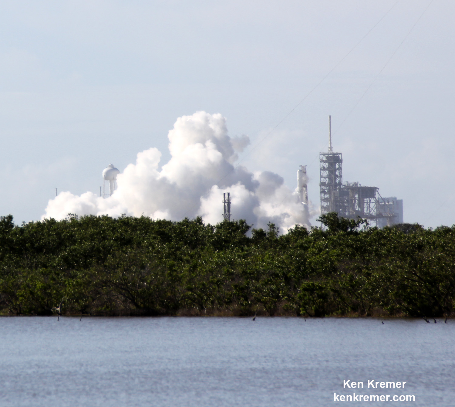
KENNEDY SPACE CENTER, FL – A triad of August liftoffs from the Florida Space Coast inaugurates Monday, Aug. 14 with a science laden commercial SpaceX Dragon bound for the International Space Station (ISS) – loaded with over 3 tons of NASA science, hardware and supplies including a cosmic ray detector, medical research experiments dealing with Parkinson’s disease and lung tissue, vegetable seeds, mice and much more, following a successful engine test firing of the Falcon 9 booster on Thursday.
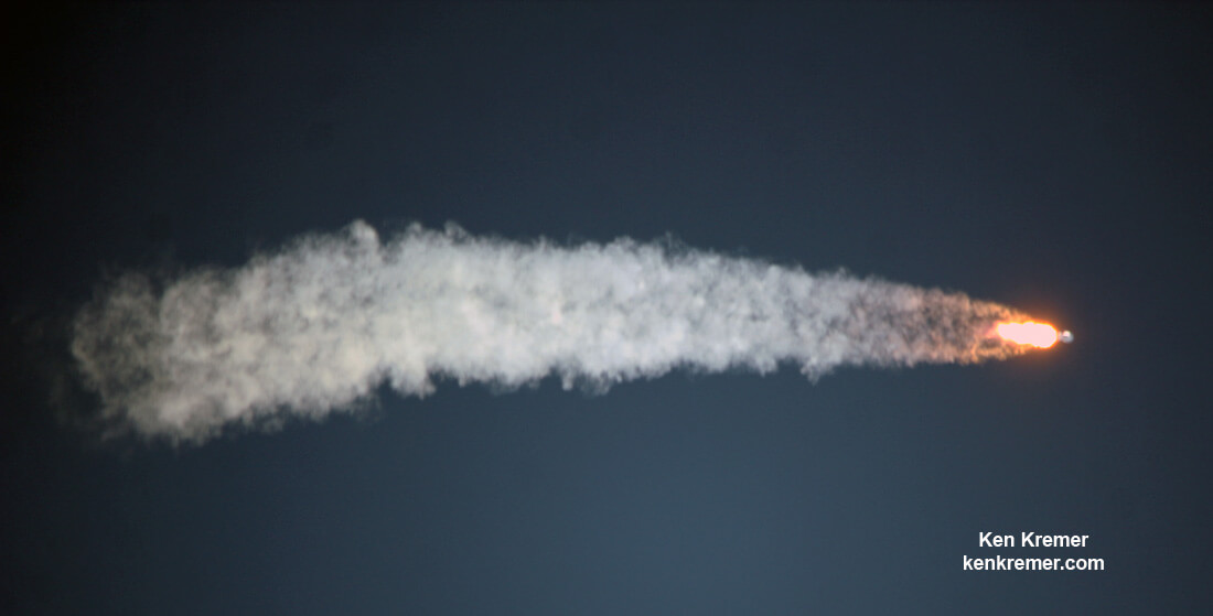
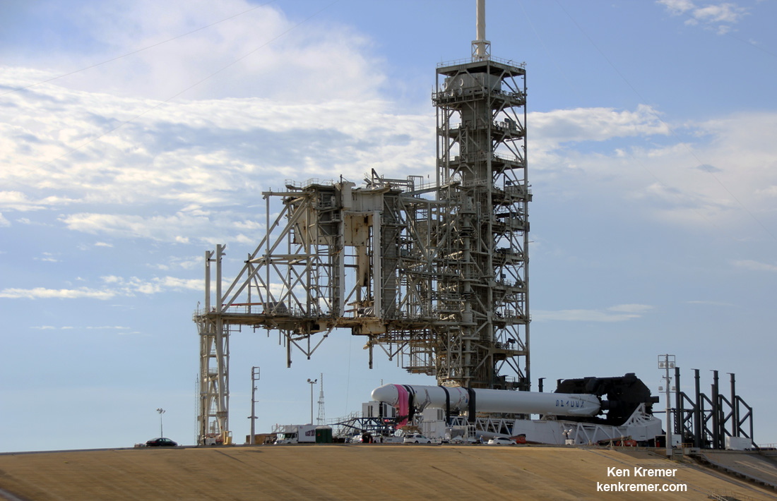
“Static fire test of Falcon 9 complete,” SpaceX confirmed via Twitter soon after completion of the test at 9:10 a.m. EDT, Aug 10. (1310 GMT) “—targeting August 14 launch from Pad 39A for Dragon’s next resupply mission to the @Space_Station.”
Check out our photos & videos herein of the Aug. 10 static first test of the Falcon 9 first stage that paves the path to blastoff – as witnessed live by Ken Kremer and Jeff Seibert.
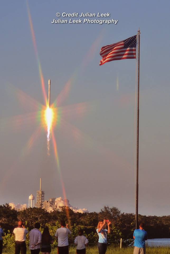
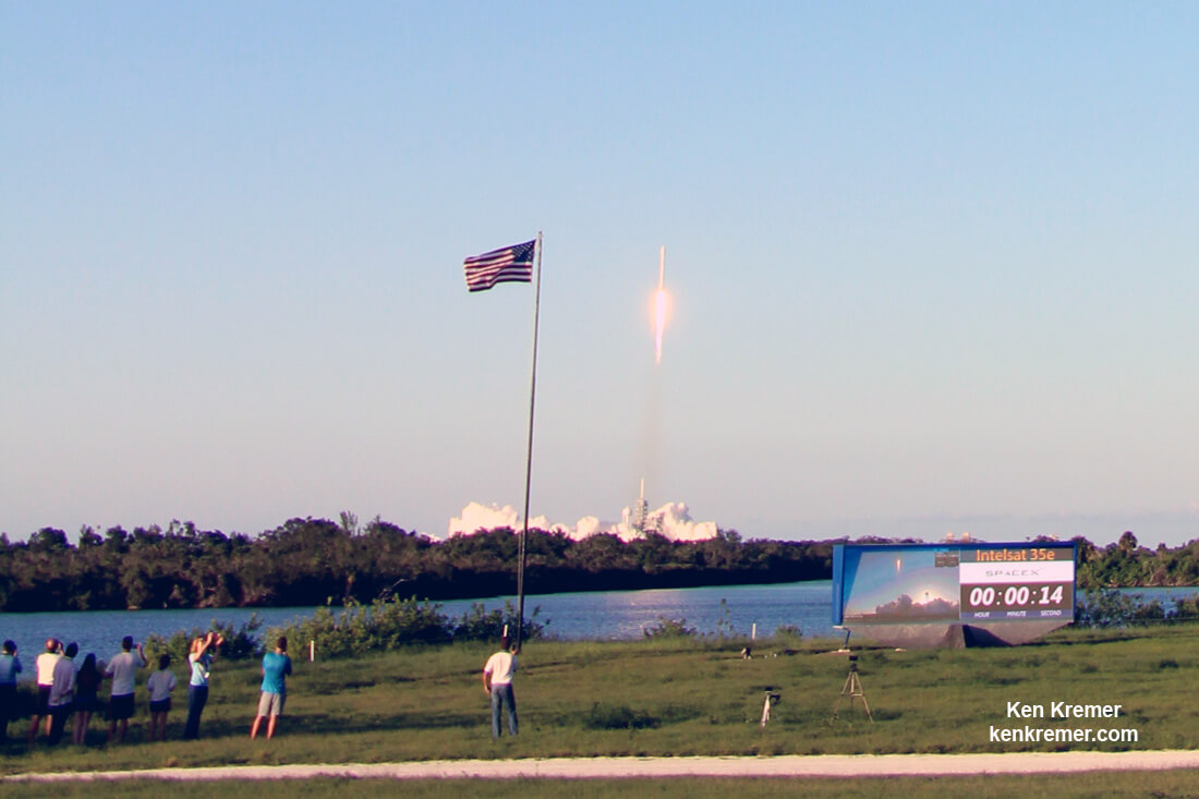
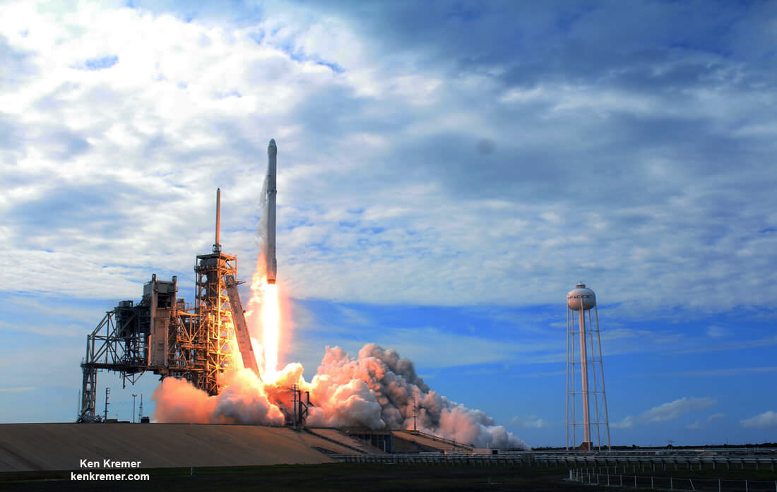
The triple headed sunshine state space spectacular kicks off with Monday’s lunchtime launch of the next unmanned SpaceX Dragon cargo freighter to the ISS from seaside pad 39A at NASA’s Kennedy Space Center in Florida, now targeted for Aug. 14 at 12:31 p.m. EDT (1631 GMT).
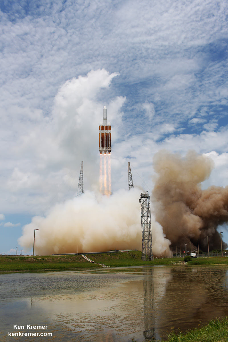
The closely spaced trio of space launches marches forward barely 4 days later with liftoff of NASA’s amazingly insectoid-looking TDRS-M science relay comsat slated for Friday morning Aug. 18 atop a United Launch Alliance (ULA) Atlas V rocket.
Lastly, a week after TDRS-M and just 11 days after the SpaceX Dragon an Orbital ATK Minotaur 4 rocket is due to blastoff just before midnight Aug. 25 and carry the ORS 5 mission to orbit for the U.S. military’s Operationally Responsive Space program. The Minotaur IV utilizes three stages from decommissioned Peacekeeper ICBMs formerly aimed at the Russians.
Of course getting 3 rockets off the ground from 3 different companies is all highly dependent on Florida’s hugely fickle hurricane season weather and the ever present reality of potential technical glitches, errant boaters and more – possibly resulting in a domino effect of cascading launch scrubs.
And sandwiched in between the Florida Space Coast blastoffs is the Total Solar ‘Eclipse Across America’ on Monday, Aug. 21 – for the first time in 99 years!
Although KSC and central Florida are not within the path of totality, the sun will still be about 85% obscured by the Moon.
So if you’re looking for bang for the space buck, the next two weeks have a lot to offer space and astronomy enthusiasts.
The Dragon resupply ship dubbed Dragon CRS-12 counts as SpaceX’s twelfth contracted commercial resupply services (CRS) mission to the International Space Station for NASA since 2012.
Watch this video of the Aug. 10 static hotfire test:
Video Caption: Hot fire test of the SpaceX Falcon 9 rocket in preparation for it launching the NASA CRS-12 Dragon resupply mission to the International Space Station from Pad 39A at Kennedy Space Center in Florida. Credit: Jeff Seibert/AmericaSpace
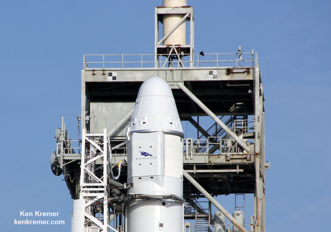
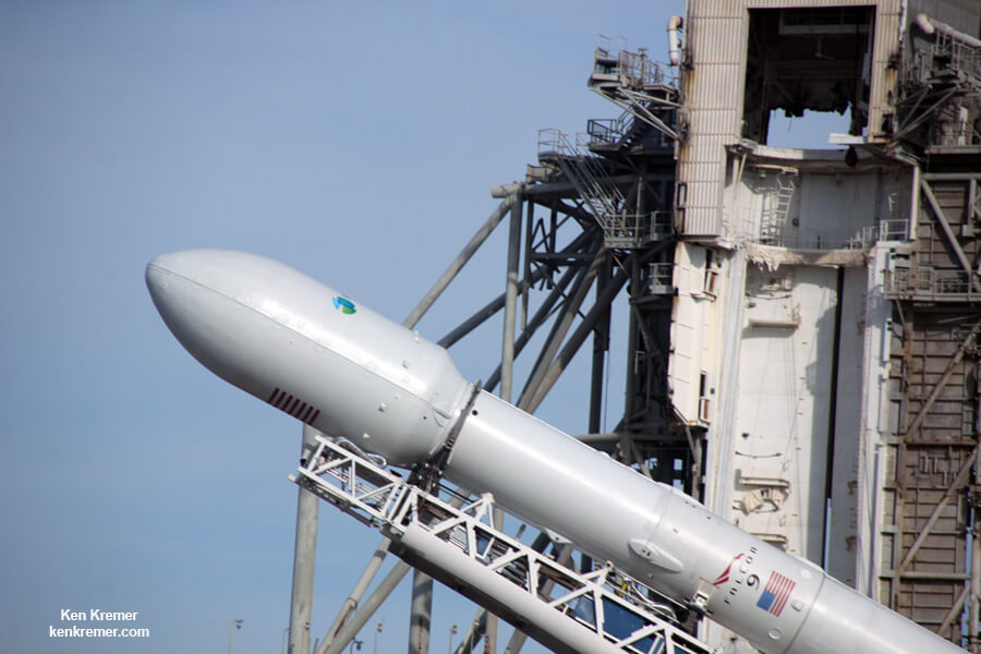
The 20-foot high, 12-foot-diameter Dragon CRS-12 vessel is carrying more than 6,400 pounds ( 2,900 kg) of science experiments and research instruments, crew supplies, food water, clothing, hardware, gear and spare parts to the million pound orbiting laboratory complex. 20 mice are also onboard. This will support dozens of the 250 research investigations and experiments being conducted by Expedition 52 and 53 crew members.
If you can’t personally be here to witness the launch in Florida, you can always watch NASA’s live coverage on NASA Television and the agency’s website.
The SpaceX/Dragon CRS-12 launch coverage will be broadcast on NASA TV beginning noon on Aug. 14 with additional commentary on the NASA launch blog.
SpaceX will also offer their own live webcast beginning approximately 15 minutes before launch at about 12:16 p.m. EDT.
You can watch the launch live at NASA TV at – http://www.nasa.gov/nasatv
You can also watch the launch live at SpaceX hosted Webcast at – spacex.com/webcast
In the event of delay for any reason, the next launch opportunity is Tuesday, Aug. 15 with NASA TV coverage starting about 11:30 a.m. EDT.
The weather looks decent at this time with a 70% chance of favorable conditions at launch time according to U.S. Air Force meteorologists with the 45th Space Wing Weather Squadron at Patrick Air Force Base. The primary concerns on Aug. 14 are cumulus clouds and the potential for precipitation in the flight path.
The odds remain at 70% favorable for the 24 hour scrub turnaround day on Aug. 15.
Everything is currently on track for Monday’s noontime launch of the 230 foot tall SpaceX Falcon 9 on the NASA contracted SpaceX CRS-12 resupply mission to the million pound orbiting lab complex.
However since the launch window is instantaneous there is no margin for error. In case any delays arise during the countdown due to technical or weather issues a 24 hour scrub to Tuesday will result.
The lunchtime launch coincidently offers a convenient and spectacular opportunity for fun for the whole family as space enthusiasts flock in from around the globe.
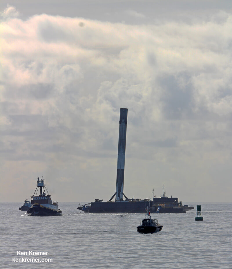
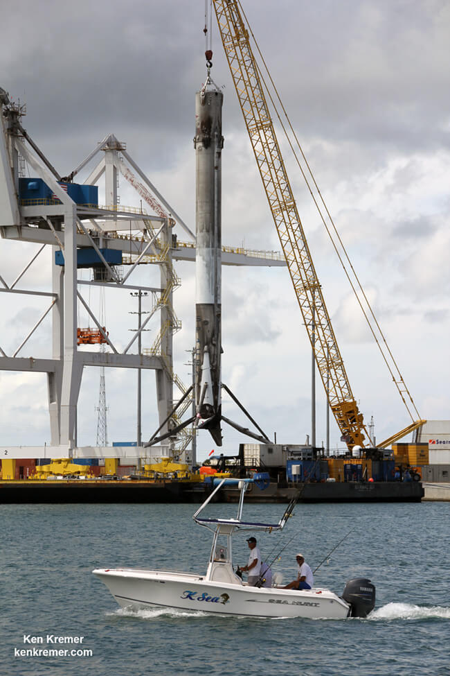
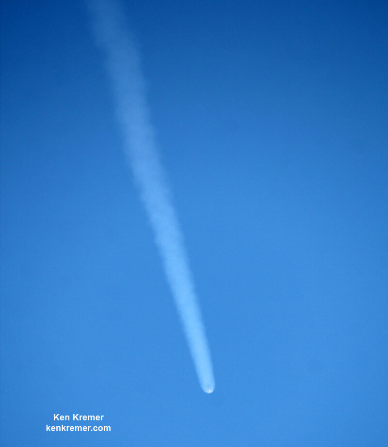
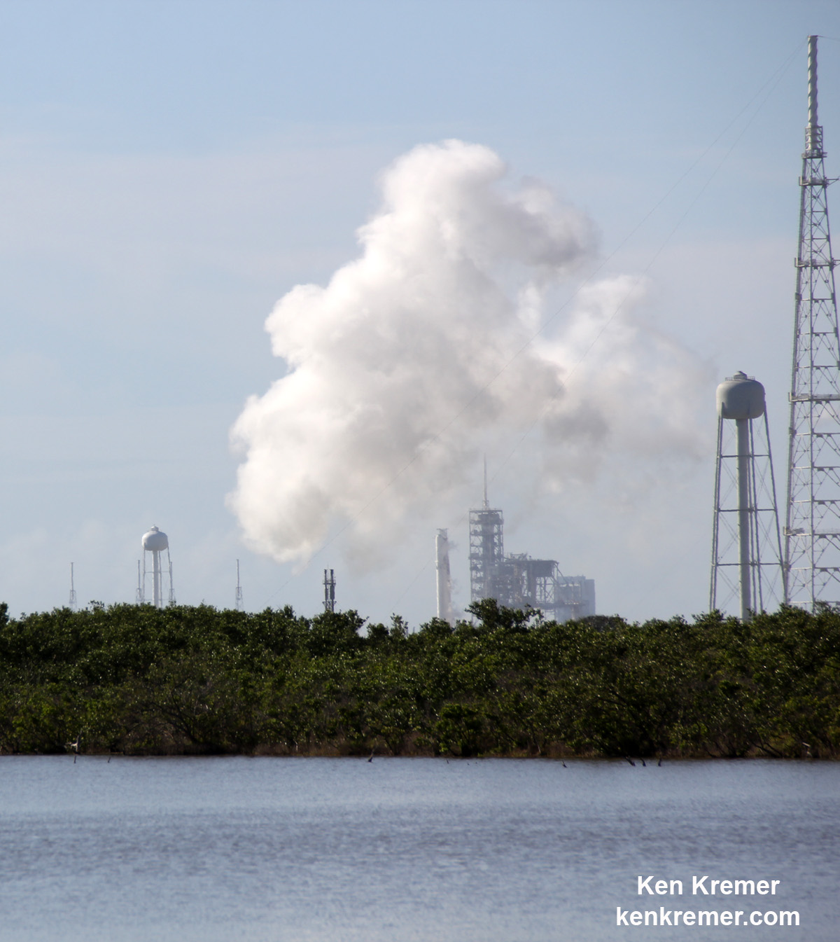
Plus SpaceX will attempt a land landing of the 156 foot tall first stage back at the Cape at Landing Zone 1 some 8 minutes after liftoff – thus a double whammy of space action !!– punctuated by multiple loud sonic booms at booster landing time that will figuratively knock your socks off.
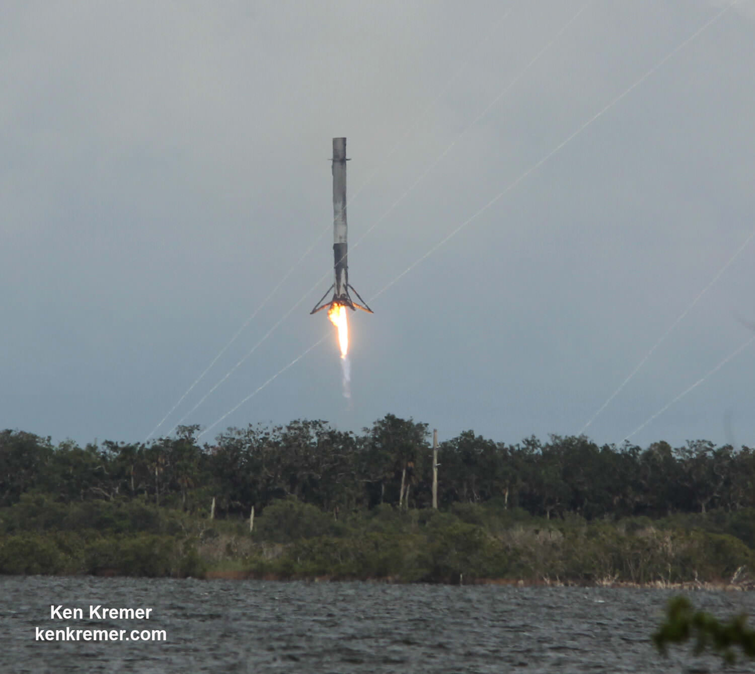
To date SpaceX has successfully recovered 13 boosters; 5 by land and 8 by sea, over the past 18 months. It’s a feat straight out of science fiction but aimed at drastically slashing the high cost of access to space.
The recent BulgariaSat-1 and Iridium-2 missions counted as the eighth and ninth SpaceX launches of 2017.
CRS-12 marks the eleventh SpaceX launch of 2017 and will establish a new single year record.
In contrast to the prior CRS-11 mission which flew a recycled Dragon, the CRS-12 Dragon is newly built.
The CRS-12 Dragon will be the last newly built one, says NASA. The remaining SpaceX CRS mission will utilize reused spaceships.
The Falcon 9 is also new and will attempt a land landing back at the Cape at Landing Zone-1 (LZ-1).
If the Aug. 14 launch occurs as scheduled, the Dragon will reach its preliminary orbit about 10 minutes later and deploy its life giving solar arrays. Dragon then begins a 2 day orbital chase of the station via a carefully choreographed series of thruster firings that bring the commercial spacecraft to rendezvous with the space station on Aug. 16.
Dragon will be grappled with the station’s Canadian built robotic arm at approximately 7 a.m. EDT on Aug. 16 by astronauts Jack Fischer of NASA and Paolo Nespoli of ESA (European Space Agency). It then will be installed on the Harmony module.
The Dragon spacecraft will spend approximately one month attached to the space station, returning to Earth in mid-September with results of earlier experiments.
Dragon CRS-12 is SpaceX’s third contracted resupply mission to launch this year for NASA.
The prior SpaceX cargo ships launched on Feb 19 and June 3, 2017 on the CRS-10 and CRS-11 missions to the space station. CRS-10 is further noteworthy as being the first SpaceX launch of a Falcon 9 from NASA’s historic pad 39A.
SpaceX leased pad 39A from NASA in 2014 and after refurbishments placed the pad back in service this year for the first time since the retirement of the space shuttles in 2011.
Previous launches include 11 Apollo flights, the launch of the unmanned Skylab in 1973, 82 shuttle flights and five SpaceX launches.
Cargo Manifest for CRS-12:
TOTAL CARGO: 6415.4 lbs. / 2910 kg
TOTAL PRESSURIZED CARGO WITH PACKAGING: 3642 lbs. / 1652 kg
• Science Investigations 2019.4 lbs. / 916 kg
• Crew Supplies 485 lbs. / 220 kg
• Vehicle Hardware 747.4 lbs. / 339 kg
• Spacewalk Equipment 66.1 lbs. / 30 kg
• Computer Resources 116.8 lbs. / 53 kg
UNPRESSURIZED 2773.4 lbs. / 1258 kg
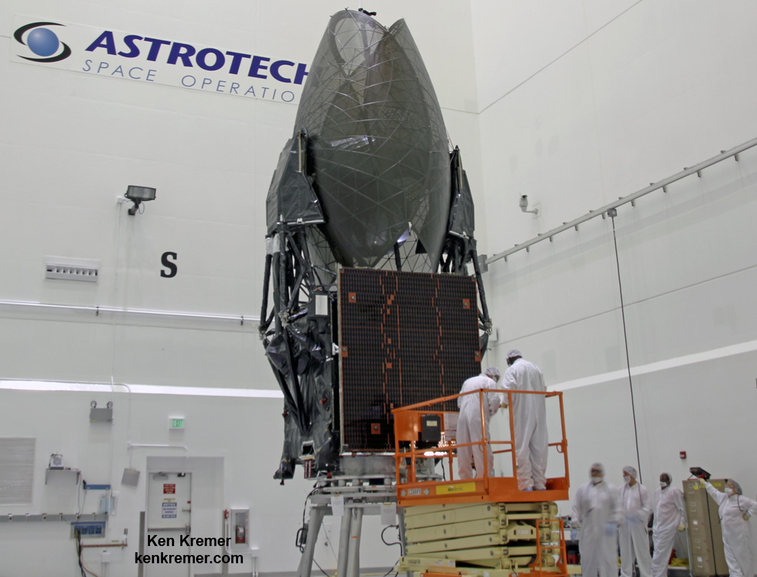
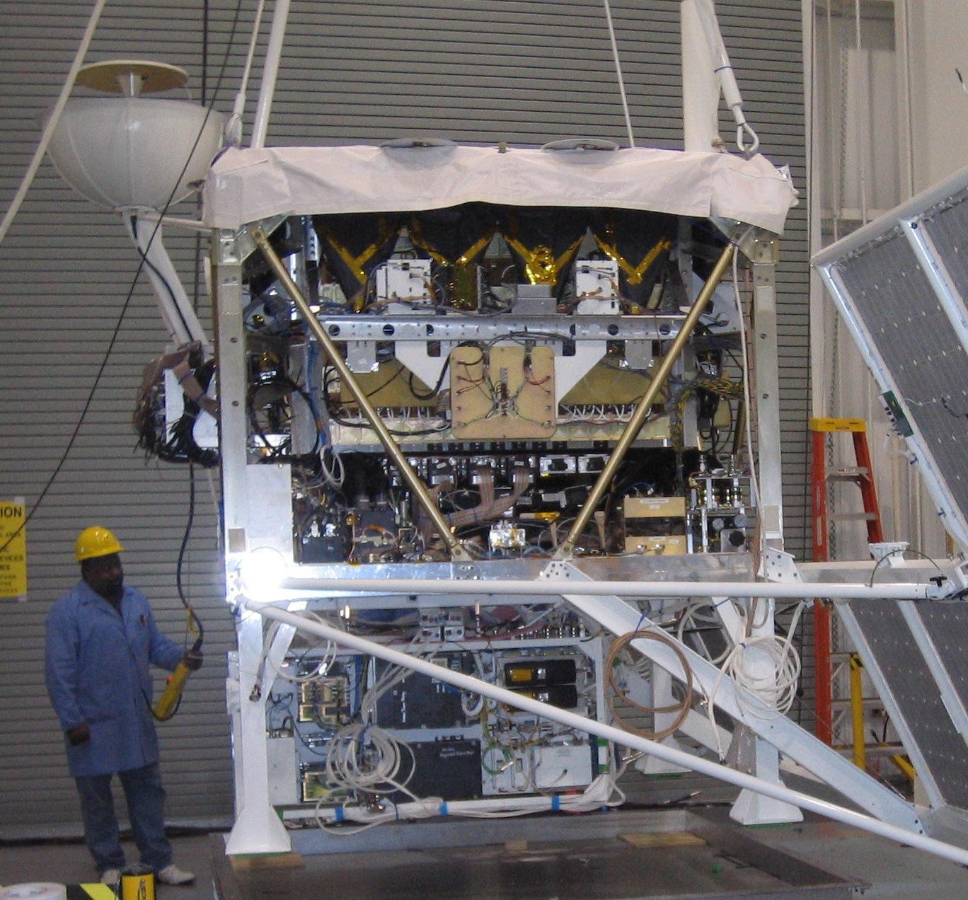
• Cosmic-Ray Energetics and Mass (CREAM) 2773.4 lbs. / 1258 kg
The CREAM instrument from the University of Maryland will be stowed for launch inside the Dragon’s unpressurized trunk. Astronauts will use the stations robotic arm to pluck it from the trunk and attach it to the exposed porch of the Japanese Experiment Module (JEM).
Here is a NASA description of CREAM:
The Cosmic Ray Energetics and Mass (CREAM) instrument, attached to the Japanese Experiment Module Exposed Facility, measures the charges of cosmic rays ranging from hydrogen to iron nuclei. The data collected from the CREAM instrument will be used to address fundamental science questions on the origins and history of cosmic rays. CREAM’s three-year mission will help the scientific community build a stronger understanding of the fundamental structure of the universe.
The LRRK2 experiment seeks to grow larger crystals of the protein to investigate Parkinson’s disease and help develop new therapies:
Here is a NASA description of LRRK2:
Crystallization of Leucine-rich repeat kinase 2 (LRRK2) under Microgravity Conditions (CASIS PCG 7) will use the orbiting laboratory’s microgravity environment to grow larger versions of this important protein, implicated in Parkinson’s disease. Developed by the Michael J. Fox Foundation, Anatrace and Com-Pac International, researchers will look to take advantage of the station’s microgravity environment which allows protein crystals to grow larger and in more perfect shapes than earth-grown crystals, allowing them to be better analyzed on Earth. Defining the exact shape and morphology of LRRK2 would help scientists to better understand the pathology of Parkinson’s and aid in the development of therapies against this target.
Watch this Michael J. Fox video describing the LRRK2 crystallization experiment:
Video Caption: ISS National Lab SpaceX CRS-12 Payload Overview: Michael J. Fox Foundation. The Michael J. Fox Foundation is sending an experiment to the ISS National Lab to investigate the LRRK2 protein, a key target in identifying the makeup of Parkinson’s disease.
Watch for Ken’s continuing onsite CRS-12, TRDS-M, and ORS 5 and NASA mission reports direct from the Kennedy Space Center and Cape Canaveral Air Force Station, Florida.
Stay tuned here for Ken’s continuing Earth and Planetary science and human spaceflight news.
………….
Learn more about the upcoming SpaceX Dragon CRS-12 resupply launch to ISS on Aug. 14, ULA Atlas TDRS-M NASA comsat on Aug. 18, 2017 Solar Eclipse, NASA missions and more at Ken’s upcoming outreach events at Kennedy Space Center Quality Inn, Titusville, FL:
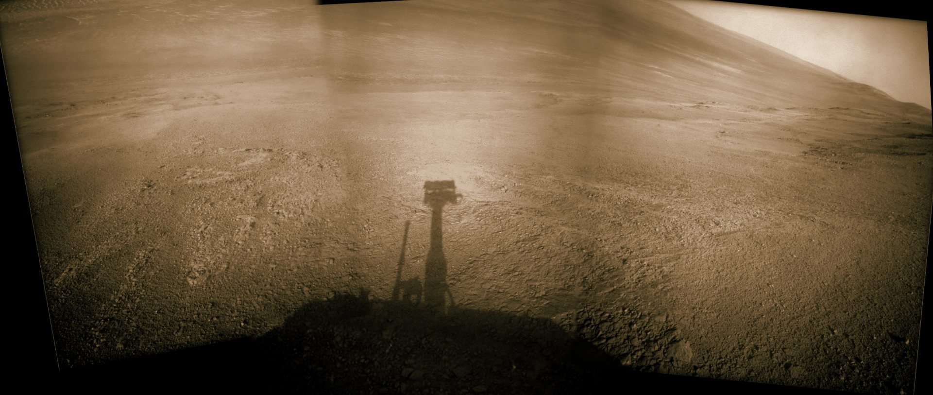
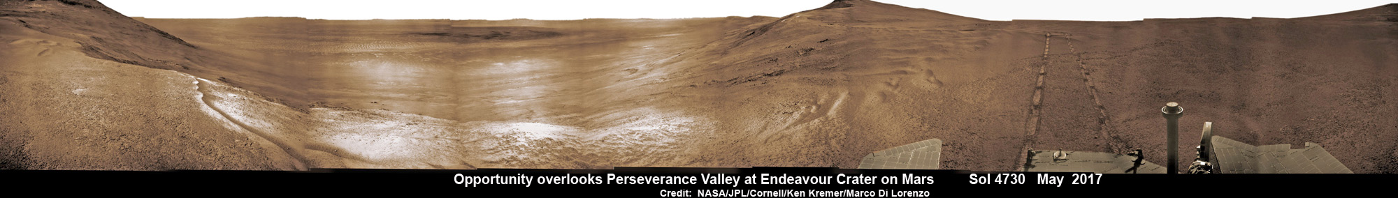
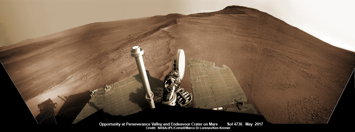
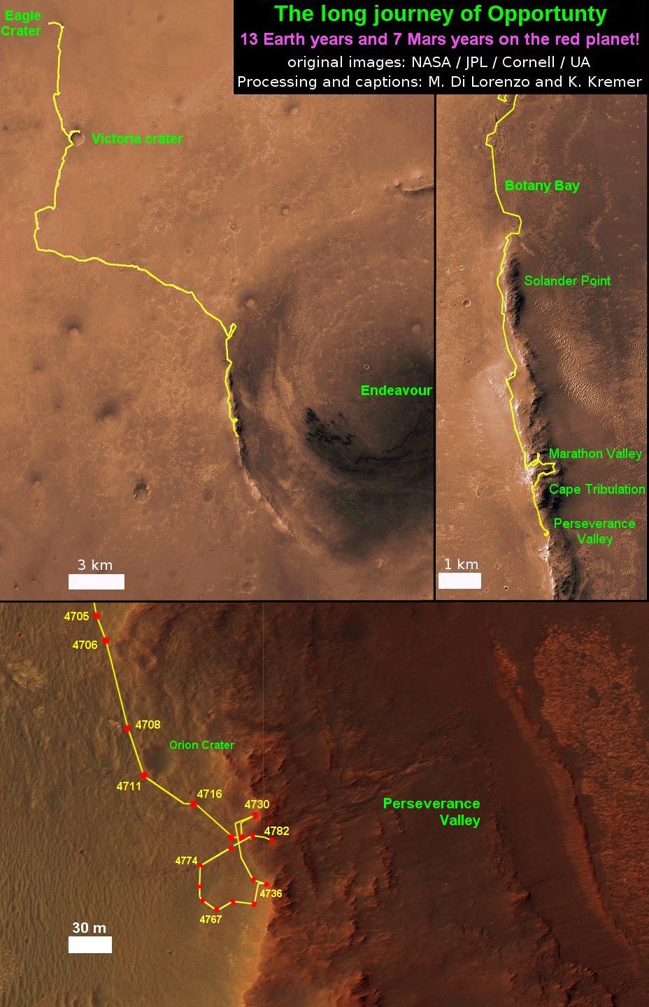
Aug 12-14: “SpaceX CRS-12 resupply launches to the ISS, Intelsat35e, BulgariaSat 1 and NRO Spysat, SLS, Orion, Commercial crew capsules from Boeing and SpaceX , Heroes and Legends at KSCVC, ULA Atlas/John Glenn Cygnus launch to ISS, SBIRS GEO 3 launch, GOES-R weather satellite launch, OSIRIS-Rex, Juno at Jupiter, InSight Mars lander, SpaceX and Orbital ATK cargo missions to the ISS, ULA Delta 4 Heavy spy satellite, Curiosity and Opportunity explore Mars, Pluto and more,” Kennedy Space Center Quality Inn, Titusville, FL, evenings