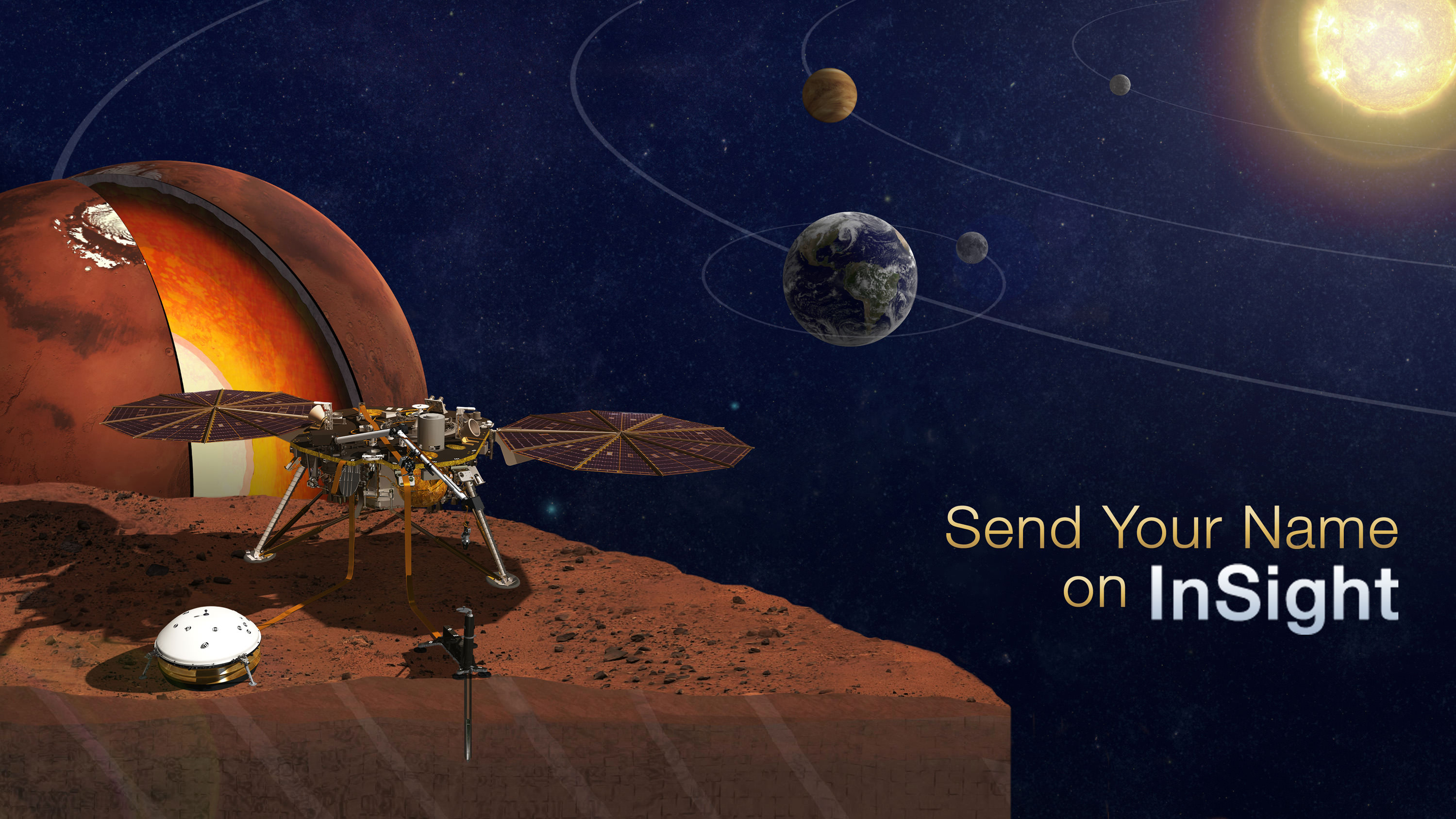
Sign up to send your name to Mars on InSight, NASA’s next mission to Mars launching in March 2016. Credit: NASA
Sign up link below – don’t delay![/caption]
Calling space fans worldwide: Now is your chance to participate in NASA’s human ‘Journey to Mars’ initiative and NASA’s next robotic mission to Mars – the InSight lander launching to the Red Planet next spring.
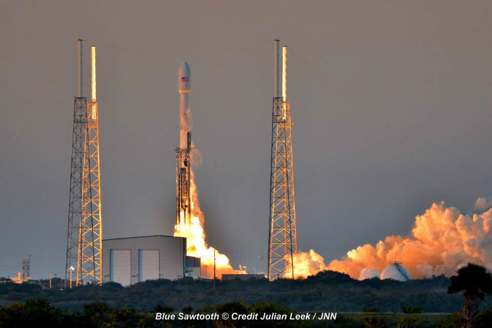
NASA invites you to ‘Send Your Name to Mars’ on a silicon microchip aboard the InSight probe slated for blastoff on March 4, 2016 from Vandenberg Air Force Base, California.
InSight’s science goal is totally unique – to “listen to the heart of Mars to find the beat of rocky planet formation.”
The public can submit their names for inclusion on a dime-sized microchip that will travel on a variety of spacecraft voyaging to destinations beyond low-Earth orbit, including Mars.
“Our next step in the journey to Mars is another fantastic mission to the surface,” said Jim Green, director of planetary science at NASA Headquarters in Washington.
“By participating in this opportunity to send your name aboard InSight to the Red Planet, you’re showing that you’re part of that journey and the future of space exploration.”
In just the first 24 hours over 67,000 Mars enthusiasts have already signed up!
But time is of the essence since the deadline to submit your name is soon: Sept. 8, 2015.
How can you sign up to fly on InSight? Is there a certificate?
NASA has made it easy to sign up.
To send your name to Mars aboard InSight, click on this weblink posted online by NASA:
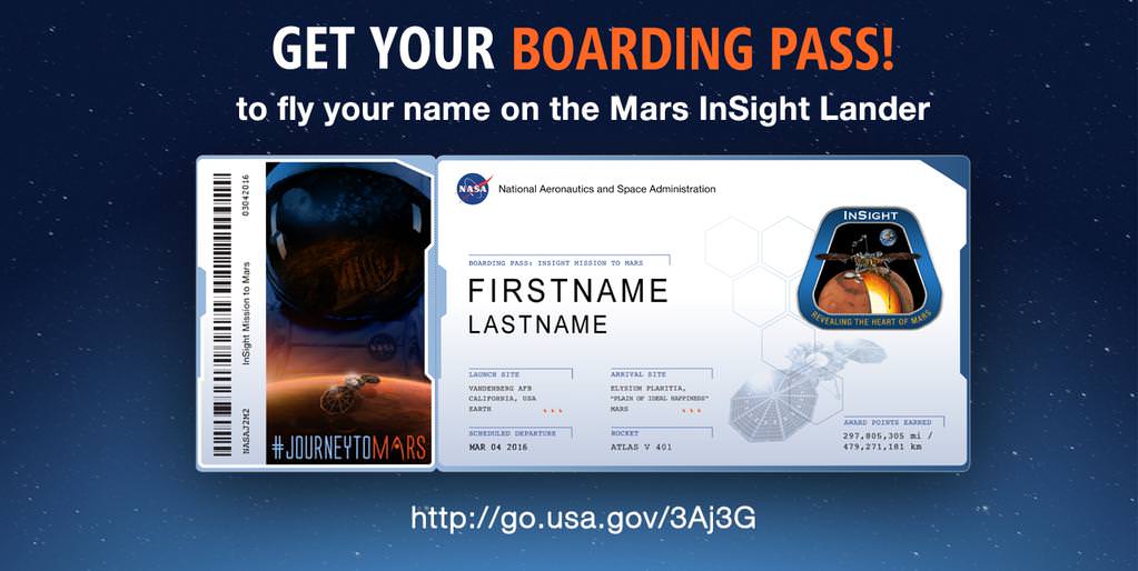
And you can also print out an elegant looking ‘Boarding Pass’ that looks like this:
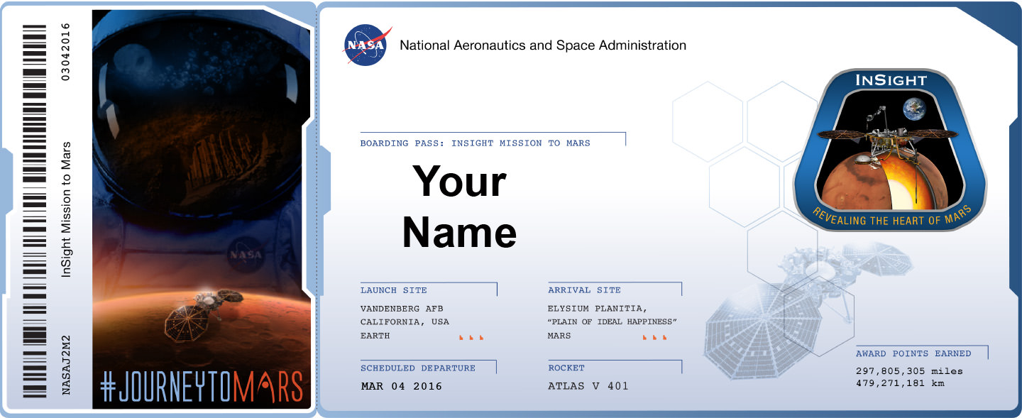
Furthermore the ‘Boarding Pass’ also comes with a listing of your “frequent flier” points accumulated by your participation in NASA’s ‘fly-your-name opportunity’ that will span multiple missions and multiple decades beyond low Earth orbit.
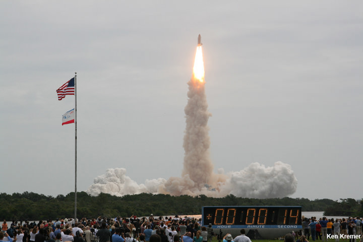
InSight represents the second ‘fly-your-name opportunity’ in NASA’s journey to Mars program. The uncrewed Orion EFT-1 mission launched on Dec. 5, 2014 was the first chance for space fans to collect ‘Journey to Mars’ points by sending your names to space.
The ‘Send Your Name to Mars’ campaign for Orion EFT-1 was a huge success.
Over 1.38 million people flew on the silicon chip aboard the maiden flight of Orion, the NASA capsule that will eventually transport humans to the Red Planet in the 2030s.
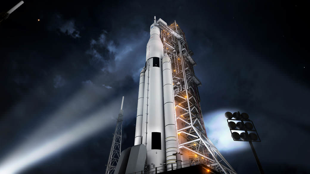
Don’t dawdle. Because after InSight, you’ll have to wait about three years until late 2018 and the blastoff of the next Orion capsule on NASA’s Exploration Mission-1 (EM-1) for you next chance to accumulate “frequent flier” points on a ‘Journey to Mars’ mission.
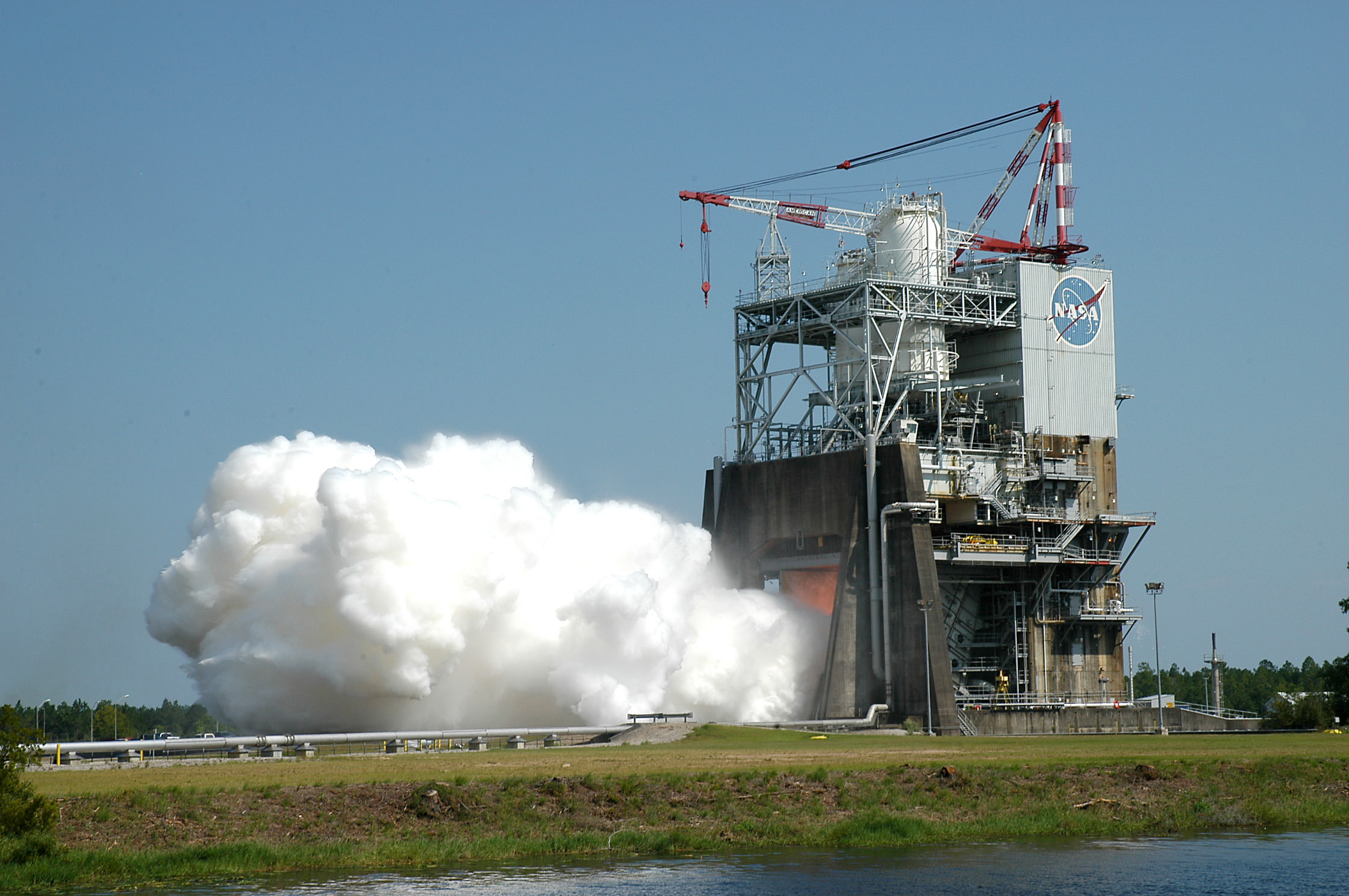
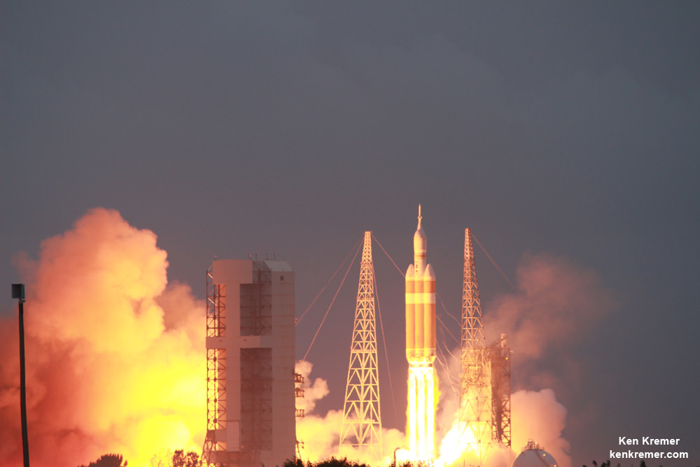
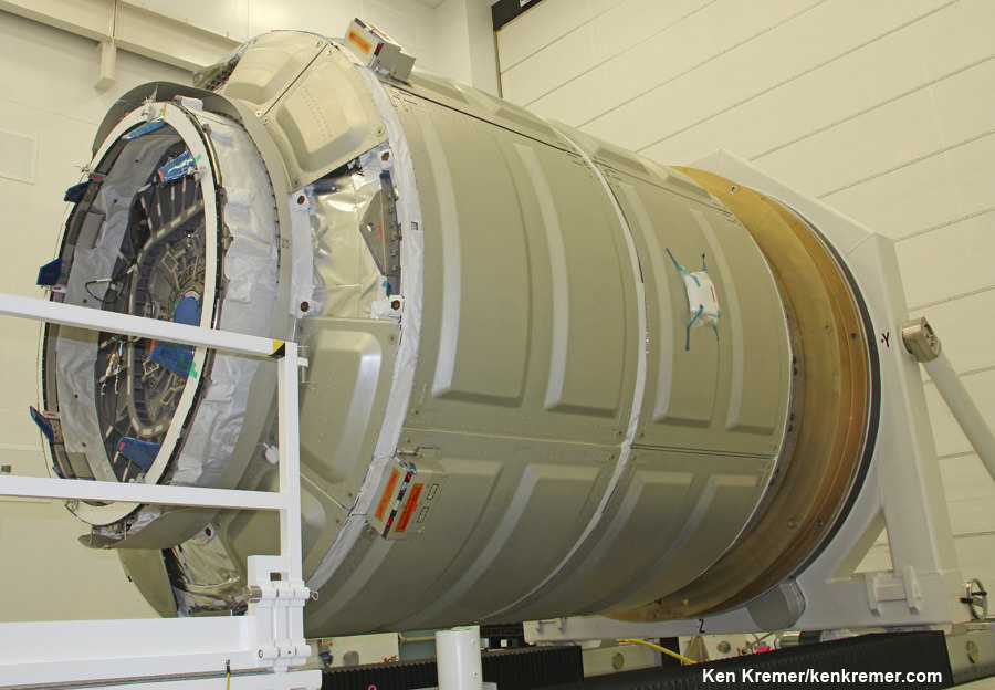
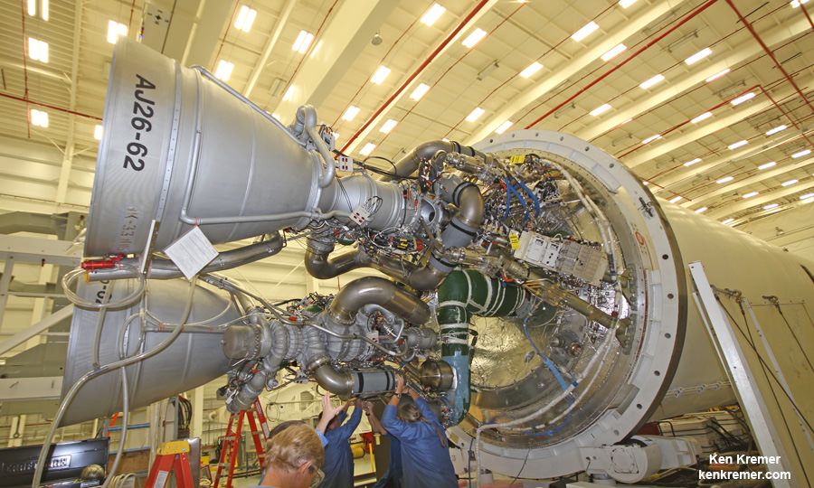
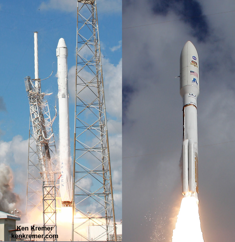
Orion EM-1 will launch atop NASA’s mammoth Space Launch System (SLS) rocket, and NASA just conducted a key test firing on Aug. 13 of the first stage engines that will power the stack to on a mission to the Moon – detailed in my recent story here.
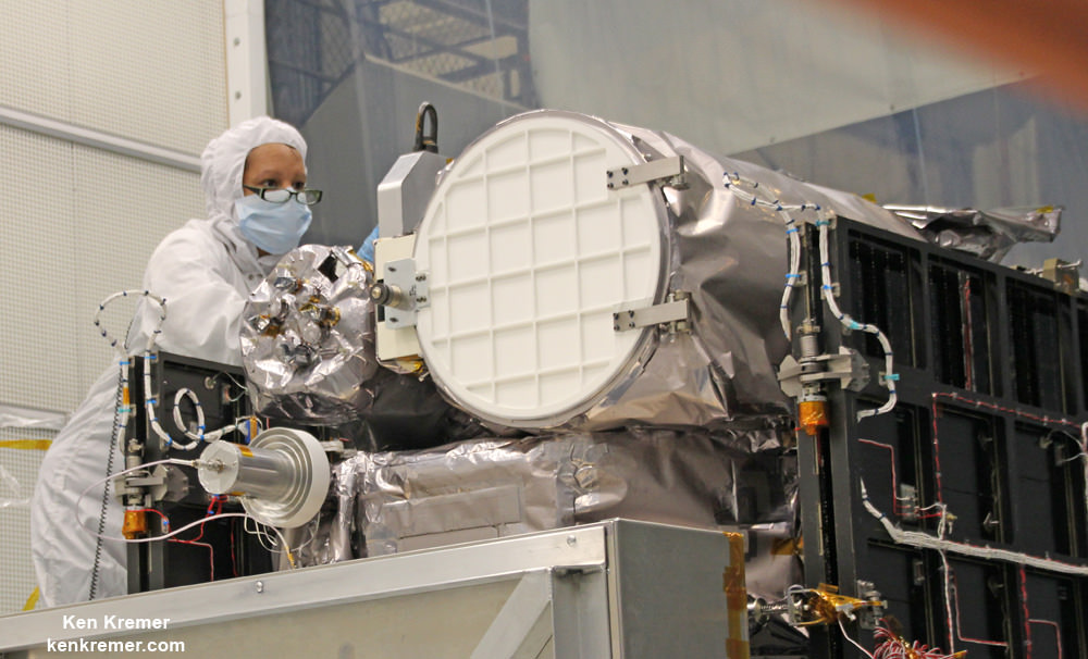
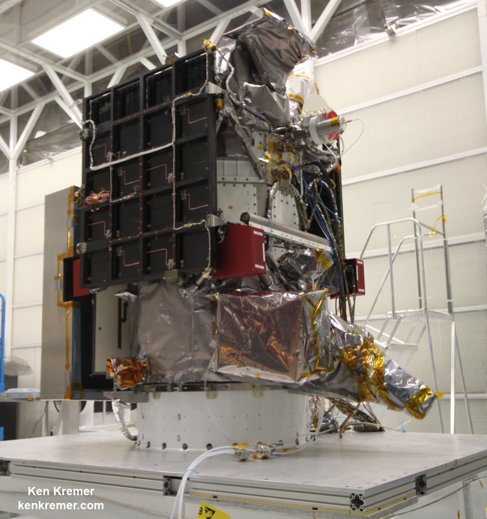
InSight, which stands for Interior Exploration Using Seismic Investigations, Geodesy and Heat Transport, is a stationary lander.
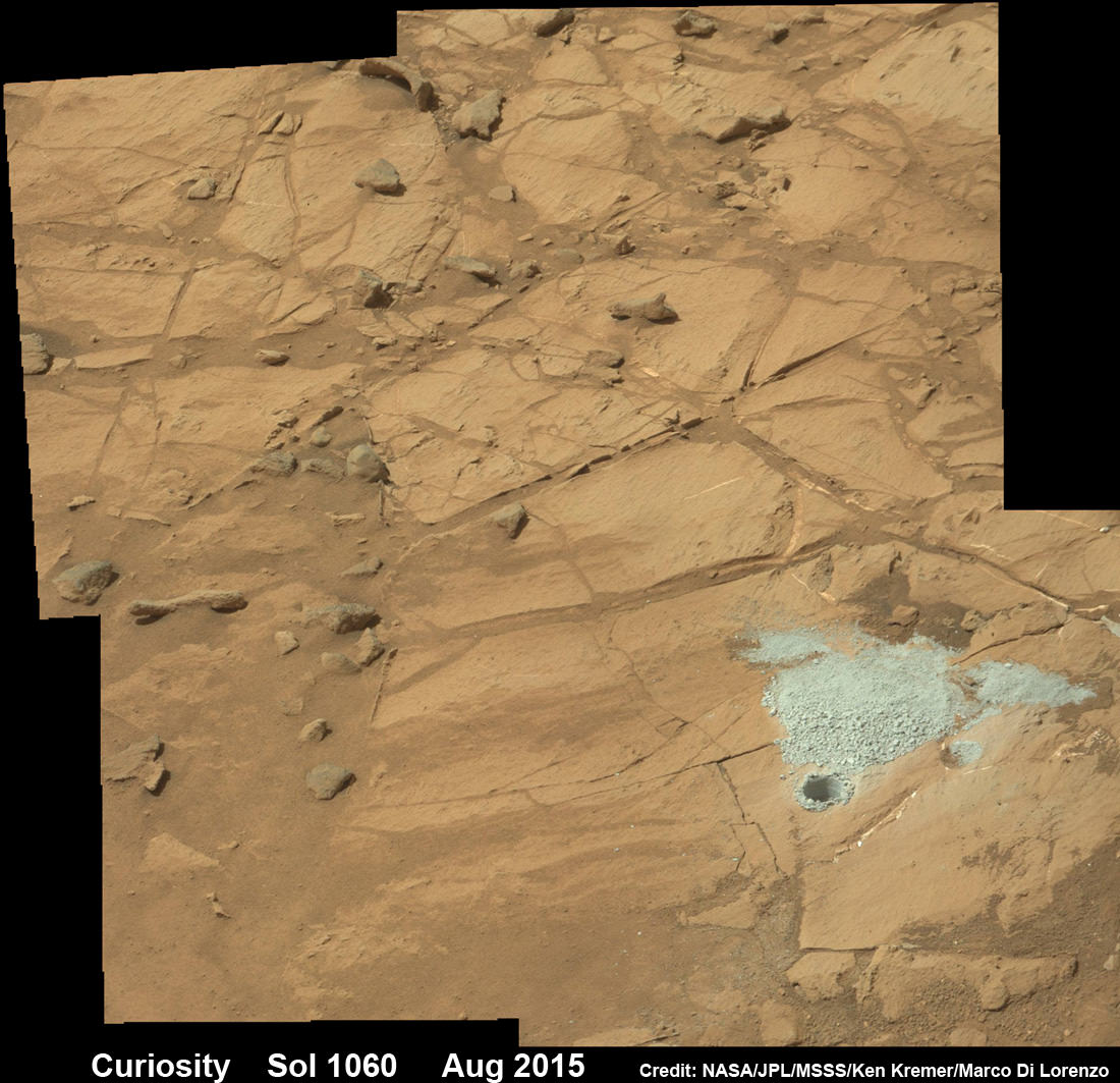
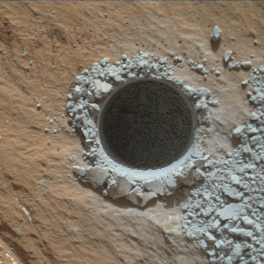
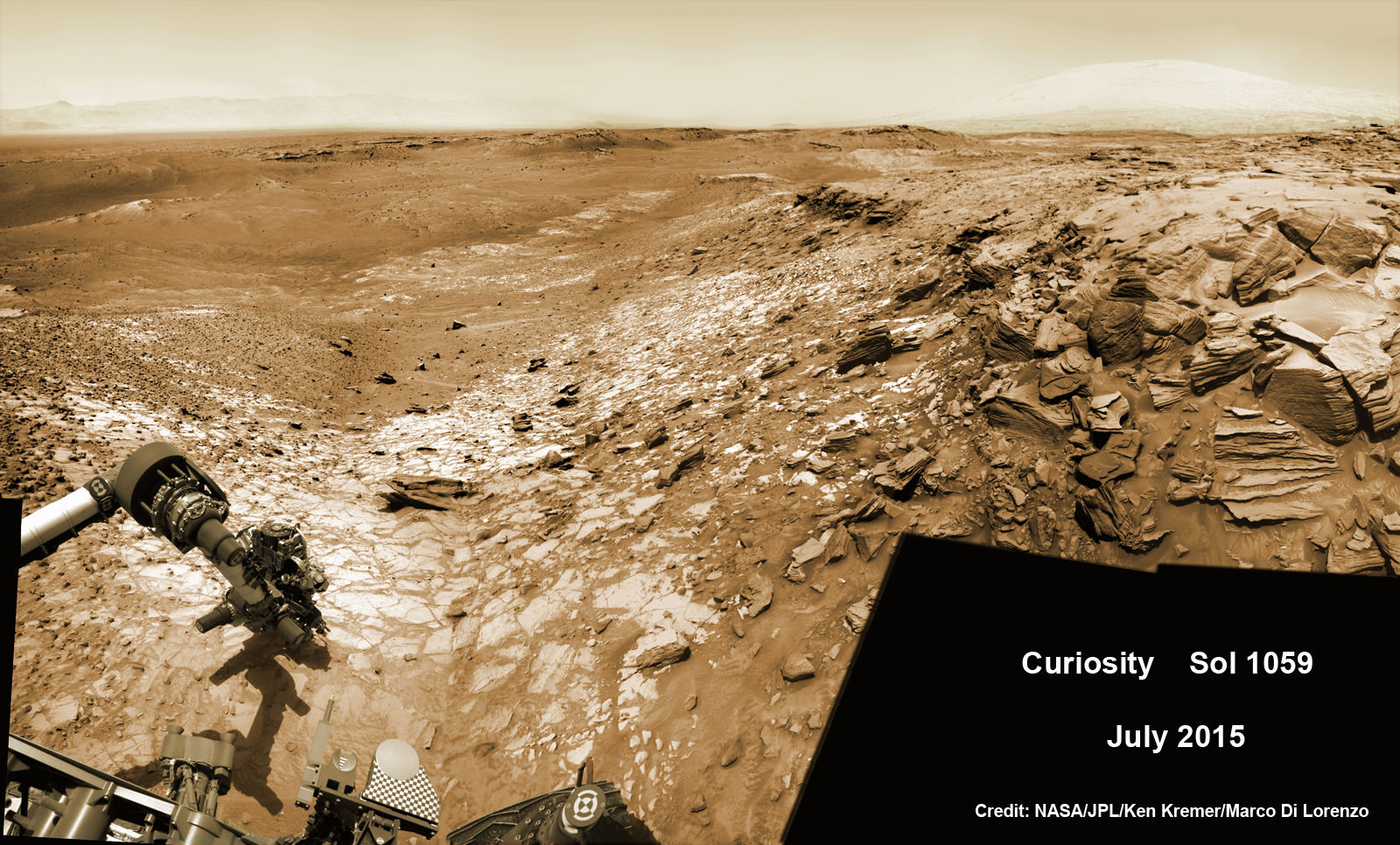
It will join NASA’s surface science exploration fleet currently comprising of the Curiosity and Opportunity missions which by contrast are mobile rovers.
InSight is the first mission to understand the interior structure of the Red Planet. Its purpose is to elucidate the nature of the Martian core, measure heat flow and sense for “Marsquakes.”
“It will place the first seismometer directly on the surface of Mars to measure Martian quakes and use seismic waves to learn about the planet’s interior. It also will deploy a self-hammering heat probe that will burrow deeper into the ground than any previous device on the Red Planet. These and other InSight investigations will improve our understanding about the formation and evolution of all rocky planets, including Earth,” says NASA.

The countdown clock is ticking relentlessly towards liftoff in less than seven months time in March 2016.
Insight promises to ‘science the sh**’ out of the heart of Mars!
It is funded by NASA’s Discovery Program as well as several European national space agency’s and countries. Germany and France are providing InSight’s two main science instruments; The HP3 heat probe and the SEIS seismometer through the Deutsches Zentrum für Luft- und Raumfahrt. or German Aerospace Center (DLR) and the Centre National d’Etudes Spatiales (CNES).
“Together, humans and robotics will pioneer Mars and the solar system,” says Green.
Stay tuned here for Ken’s continuing Earth and planetary science and human spaceflight news.