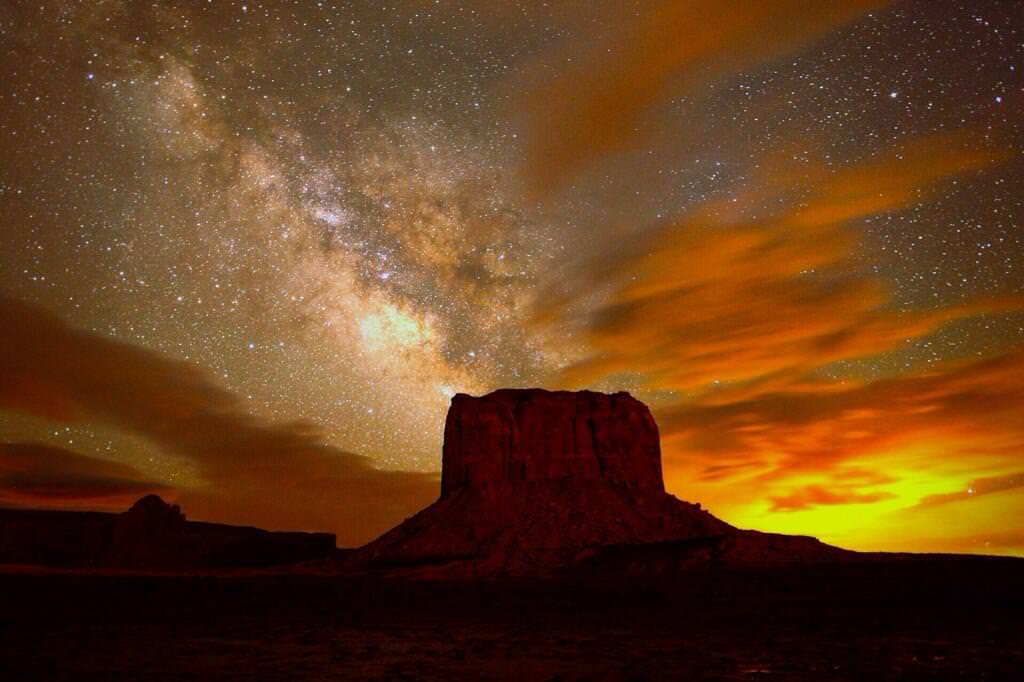
In a previous episode we hinted that every spot is at the center of the Universe. But why? It turns out, every way you look at it, you’re standing dead center at the middle of everything. And so is everyone else.
We ended a previous episode with how the center of the Universe is everywhere, and then quickly moved on to “Thanks for watching” without providing any details other than a wink and a nod.
Good news, here come your details. First, imagine the expanding Universe in your mind. You might be picturing an inflating ball pushing out in all directions. Perhaps you’re seeing some kind of giant expanding celestial pumpkin. Unfortunately, that idea is incorrect. But don’t feel bad, our thinking meat parts just aren’t built to do this sort of thing.
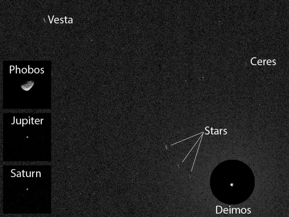
The region of space that we can see is the observable Universe. When we look in any direction, we’re seeing the light that left stars millions and even billions of years ago. When you get out to the 13.8 billion light year mile marker, you’re seeing the light that was emitted shortly after the Big Bang, when the Universe cooled down to the point that it became transparent. So the observable Universe is a sphere around you, it’s relative to your position.
My observable Universe is a sphere around me, relative to my position. So if I’m 10 meters away from you, I can see a little further into the Universe in that direction. If you look behind you, you’re seeing the observable Universe a little further in the that direction.
Imagine you’re standing in a dark room holding a candle. You can see out into a sphere around you. You’re at the center of your observable space. And if I’m in a different location, I’ll have a different observable sphere. This is why we say that everyone is at the center of their own personal observable Universe.
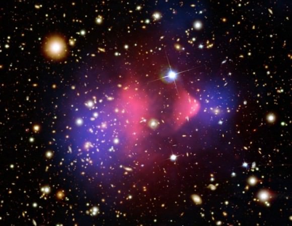
This has hints of pedantry and it’s a little unsatisfying, so let’s dig a little deeper. Where is the actual center of the Universe, regardless of who’s observing it? Our Universe might be finite or it might be infinite. Astronomers don’t actually know for sure. Their most precise calculations say that the observable Universe is 93 billion light years across.
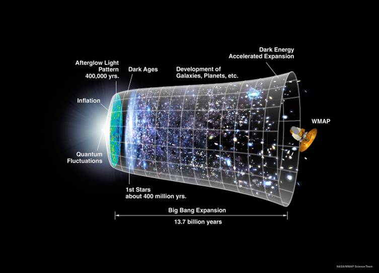
Remember that light from the Big Bang that took 13.8 billion light years to get to you? Well the expansion of the Universe has pushed that region out to more than 46 billion light-years away. Look as far as you can to the right and as far as you can to the left. Those two spots are currently 93 billion light-years away from each other. So we can’t see how big the Universe really is. It’s got to be larger than 93 billion light-years. Everything outside that region we just can’t see… yet. It might be infinite.
If the Universe is infinite, then there’s an infinite amount of space in that direction and an infinite amount of space in that direction, and that direction. And we’re back where we started, literally. Once again, you’re at the center of the Universe. And so am I.
But what if the Universe is finite? That’s where it gets tricky. Imagine the observable Universe as a tiny sphere inside the much larger actual Universe. Maybe it’s 100 billion light years across, or maybe a trillion, or a quadrillion. Whatever the size, it’s not infinite. Now you would think there’s a center, right?
Well, astronomers think that the topology of a finite Universe indicates that if you travel in any one direction long enough, you’ll return to your starting point. In other words, if you could look far enough in any direction, you’d see the back of your head.
We did a whole episode on this, and you might want to check it out. And you’ll really want to check out Zogg the Aliens’ in-depth explanation. As an analogy, consider an ant on the surface of a sphere. Should the ant choose to walk in any direction, it’ll return to its starting point. Take that concept and scale it up one dimension. Can’t imagine it? No problem. Like I said, our brains aren’t equipped or experienced. And yet, that extra dimension seems to be the nature of the Universe. Regardless of what direction you travel, if it takes you the same amount of time to return to your starting point. Well… you’re at the center of the Universe?
See? No matter how you think about it and break it down, you’re at the center of everything. And so am I. What do you think? Is the Universe finite or infinite? Tell us why in the comments below.