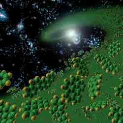
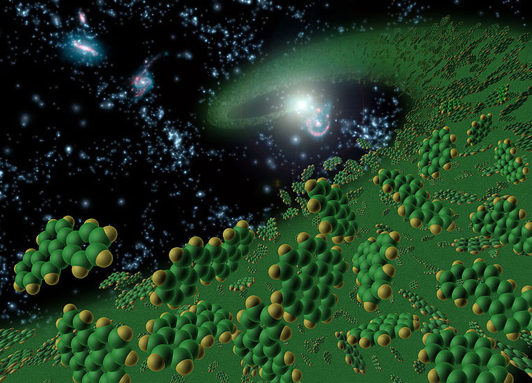
Artist’s concept symbollically represents early universe organic complex compounds. Image credit: NASA/JPL Click to enlarge
By studying distant galaxies with the Spitzer space telescope, researchers have come to the conclusion that the intense radiation of infant galaxies was very destructive to life’s building blocks. Shortly after the Big Bang, these young galaxies blazed in star formation, but they had very few organic molecules – which are quite common in older galaxies. Even through these organic molecules will be forming in young stars, their intense radiation destroys them again.
The components of life may have been under attack in the hostile environments of the universe’s first galaxies, say astronomers using NASA’s Spitzer Space Telescope.
A science team led by graduate student Yanling Wu of Cornell University, Ithaca, N.Y., recently came to this conclusion after studying the formation and destruction of polycyclic aromatic hydrocarbons molecules (PAHs) in more than 50 blue compact dwarf (BCD) galaxies. These organic molecules, comprised of hydrogen and carbon, are believed by many scientists to be among the building blocks for life.
“One of the outstanding problems in astronomy today is whether complex organic molecules of hydrogen and carbon, similar to those responsible for life on Earth, are present in the early universe,” says Wu.
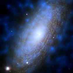
According to Wu, mature massive galaxies like our Milky Way formed from the merging of smaller galaxies, probably about the size of nearby BCD galaxies. Since current technology is not sensitive enough to easily identify and study in detail the universe’s first galaxies, astronomers must infer the physical properties of the early structures by observing similar nearby galaxies like BCDs.
“We believe that BCD galaxies are similar to the universe’s first galaxies because they are infant galaxies, actively forming stars, and are not very chemically polluted,” said Wu.
Because most atomic elements other than hydrogen and helium are born from the death of stars, astronomers suspect that in the first few million years after the big bang galaxies were not “chemically polluted” with elements other than hydrogen and helium. In astronomy, these relatively unpolluted galaxies are said to have low metallicity.
The BCD galaxies’ blue colors tell astronomers that these structures are actively forming massive stars. By logically combining the galaxy’s blue color with the fact that it is low in metals, astronomers can infer that this is a young galaxy.
In her research, Wu found that nearby BCD galaxies with lowest metallicity also had little or no PAHs. As the galaxies became more chemically polluted, more traces of PAHs were found. She notes that this phenomenon makes sense because heavy metal elements like carbon are formed from the death of stars, and some of these galaxies may just be too “young” to have produced enough carbon to create PAHs.
However, in some of the BCD galaxies where the conditions allow for the formation of PAHs, Wu found that those molecules were being destroyed by intense ultraviolet radiation from the young massive stars.
“Because BCD galaxies are metal poor and very compact, the intense ultraviolet radiation from young stars will destroy PAH molecules even if they are formed,” says Wu. “The threshold for when these PAH molecules stop being destroyed is still uncertain.”
“This leads to an interesting paradox, where the young stars responsible for the formation of PAHs may also be the main culprit of their destruction,” adds co-author Dr. Vassilis Charmandaris, of the University of Greece, Heraklion.
The organic PAHs were detected using Spitzer’s Infrared Spectrometer (IRS).
“Yanling has made significant progress in a research area first opened by International Space Observatory ,” says Dr. Jim Houck of Cornell University. Houck is Wu’s academic advisor and a co-author of the paper. He is also the Principal Investigator for Spitzer’s IRS instrument and played a vital role in its creation.
“With Spitzer, Yanling is able to extend BCDs observations to a much larger sample; the new results provide a glimpse into the formation of galaxies in the early Universe,” he adds.
Wu’s paper will be published in a March issue of Astrophysical Journal. For more information on this discovery please listen to the podcast interview with Yanling Wu.
Original Source: Spitzer Space Telescope


