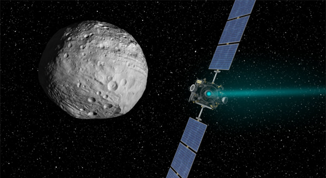
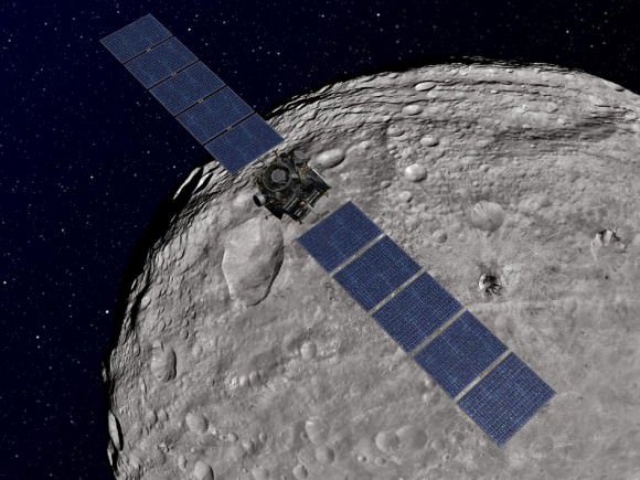
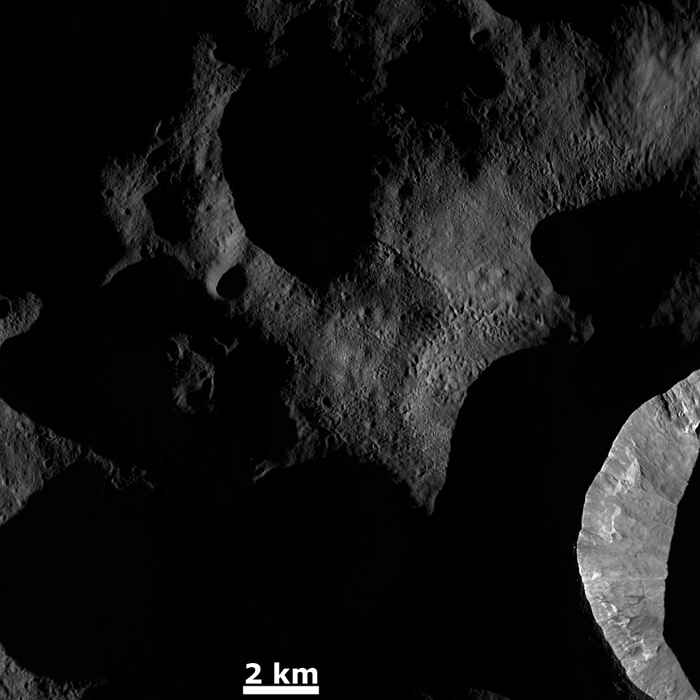
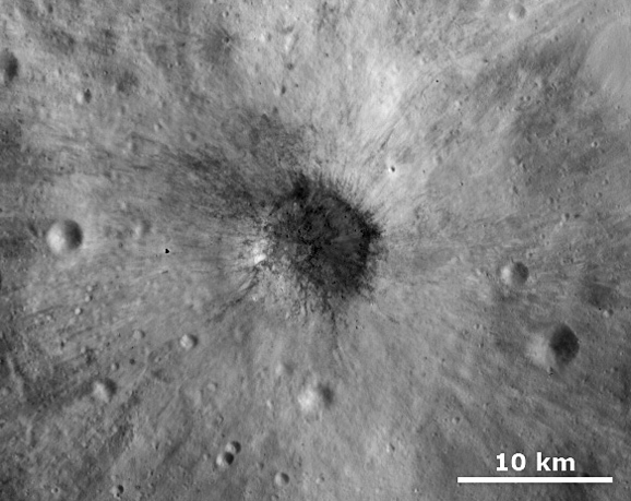
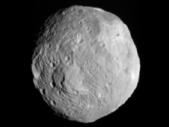
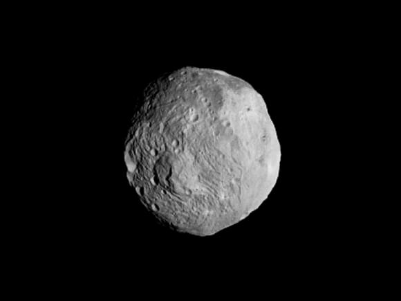
Dawn’s look at asteroid Vesta as the spacecraft heads off to Ceres. Image credit: NASA/JPL-Caltech/UCAL/MPS/DLR/IDA
As Dawn says goodbye to Vesta — where the spacecraft has been orbiting for over a year — here are two final views of the giant asteroid, which are among the last taken by the spacecraft, NASA said.
“Dawn has peeled back the veil on some of the mysteries surrounding Vesta, but we’re still working hard on more analysis,” said Christopher Russell, Dawn’s principal investigator at UCLA. “So while Vesta is now out of sight, it will not be out of mind.”
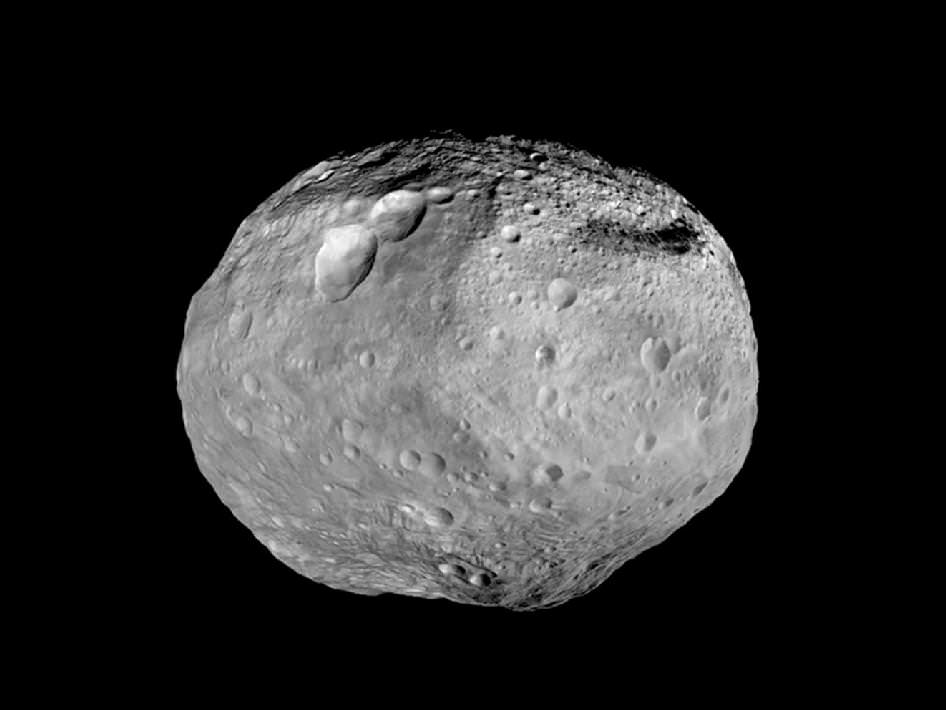
The first is a black-and-white mosaic that shows a full view of the giant asteroid, created by synthesizing some of Dawn’s best images.
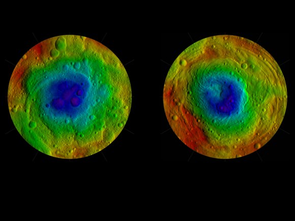
Below is a color-coded relief map of Vesta’s northern hemisphere, from the pole to the equator. It incorporates images taken just as Dawn began to creep over the high northern latitudes, which were dark when Dawn arrived in July 2011.
These color-shaded relief maps show the northern and southern hemispheres of Vesta, derived from images analysis. Colors represent distance relative to Vesta’s center, with lows in violet and highs in red. In the northern hemisphere map on the left, the surface ranges from lows of minus 13.82 miles (22.24 kilometers) to highs of 27.48 miles (44.22 kilometers). Light reflected off the walls of some shadowed craters at the north pole (in the center of the image) was used to determine the height. In the southern hemisphere map on the right, the surface ranges from lows of minus 23.65 miles (38.06 kilometers) to 26.61 miles (42.82 kilometers).
The shape model was constructed using images from Dawn’s framing camera that were obtained from July 17, 2011, to Aug. 26, 2012. The data have been stereographically projected on a 300-mile-diameter (500-kilometer-diameter) sphere with the poles at the center.
The three craters that make up Dawn’s “snowman” feature can be seen at the top of the northern hemisphere map on the left. A mountain more than twice the height of Mount Everest, inside the largest impact basin on Vesta, can be seen near the center of the southern hemisphere map on the right.
These images are the last in Dawn’s Image of the Day series during the cruise to Ceres. A full set of Dawn data is being archived at http://pds.nasa.gov/ .

