[/caption]
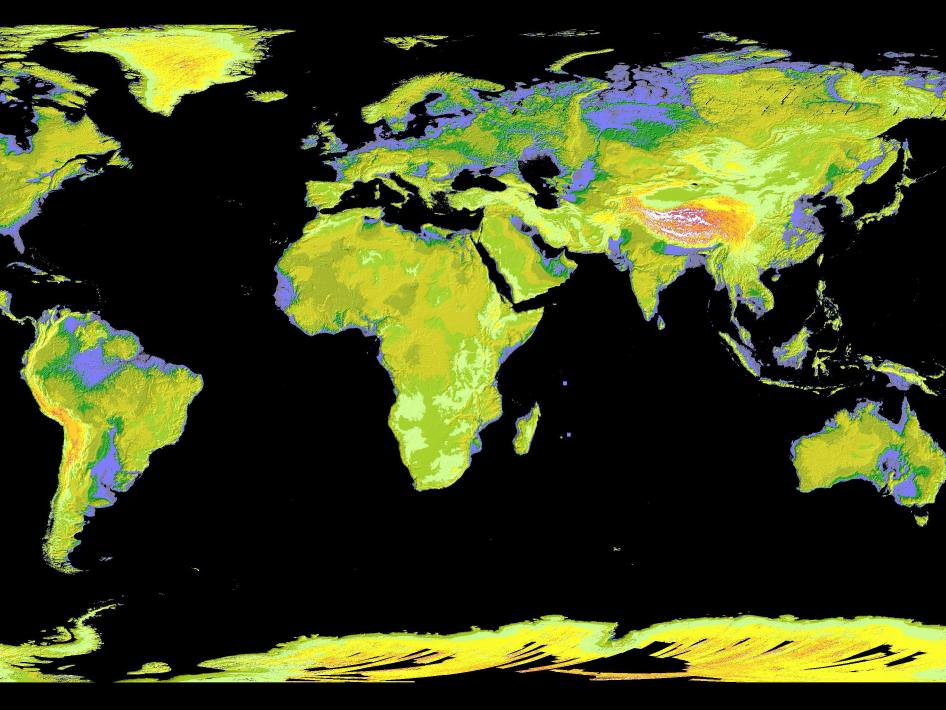
You know that there are 7 continents(6 if you were taught geography in Europe) right now, but do you really know the definition of what is a continent? There are many different, and confusing definitions of what a continent is. The most widely accepted one says that a continent is defined as a large, continuous, discrete mass of land, ideally separated by an expanse of water. This definition somewhat confuses things. Many of the current continents are not discrete landmasses separated by water. The word large leads to arbitrary classification: Greenland, with a surface area of 2,166,086 km2 is considered the world’s largest island, but Australia with a land mass of 7,617,930 km2 is a continent. The qualification that each be a continuous landmass is disregarded because of the inclusion of the continental shelf and oceanic islands and is contradicted by classifying North and South America and Asia and Africa as continents, without a natural separation by water. This idea continues if the land mass of Europe and Asia is considered as two continents. Also, the Earth’s major landmasses are surrounded by one, continuous World ocean that has been divided into a number of principal ‘oceans’ by the land masses themselves and various other geographic criteria.
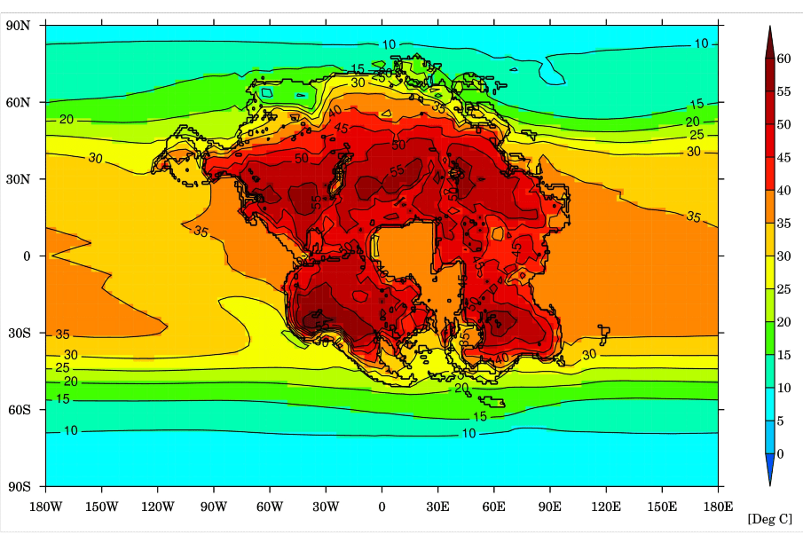
The number of continents has changed throughout the evolution of the Earth. Plate tectonics and continental drift have forced changes on continental composition. The planet began with one single land mass(the Mesezoic Era). This continent was not suddenly there. It was the result of partially solidified magma being smashed together by plate tectonics and continental drift. Those forces remain at work today.
To further confuse things, different parts of the world teach different versions of the continents. The seven-continent model is usually taught in China and most English speaking countries. A six continent model combining Europe and Asia is preferred by the geographic community, the former parts of the USSR, and Japan. Another six continent model combining North and South America is taught in Latin America and most of Europe.
The answer to ‘what is a continent’ is more by convention than strict definition. Hopefully, this will help to clear some of the confusion that you had before you started reading this article.
We have written many articles about the continents for Universe Today. Here’s an article about the biggest continent, and here’s an article about the continental drift theory.
If you’d like more info on Earth’s continents, check out NASA’s Solar System Exploration Guide on Earth. And here’s a link to NASA’s Earth Observatory.
We’ve also recorded an episode of Astronomy Cast all about planet Earth. Listen here, Episode 51: Earth.
Source: Wikipedia


