There was a time when maps of the Moon were created from telescopic observations and drawings. Indeed Sir Patrick Moore created maps of the Moon that were used during the historic Apollo landings. Now researchers have enhanced a technique to create accurate maps from existing satellite images. Their approach uses a technique called ‘shape-from-shading’ and involves analyzing shadows to estimate the features and shape of the terrain. Future lunar missions will be able to use the maps to identify hazards on the surface making them far safer.
Continue reading “A New Way to Make Precise Maps of the Lunar Surface”Here’s M74 Like You’ve Never Seen it Before, Thanks to Judy Schmidt and JWST

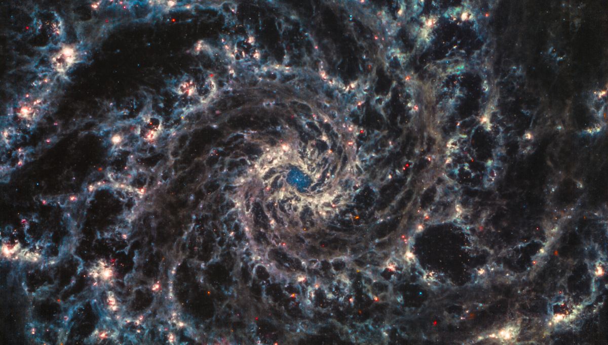
The JWST is grabbing headlines and eyeballs as its mission gains momentum. The telescope recently imaged M74 (NGC 628) with its Mid-Infrared Instrument (MIRI.) Judy Schmidt, a well-known amateur astronomy image processor, has worked on the image to bring out more detail.
Continue reading “Here’s M74 Like You’ve Never Seen it Before, Thanks to Judy Schmidt and JWST”
