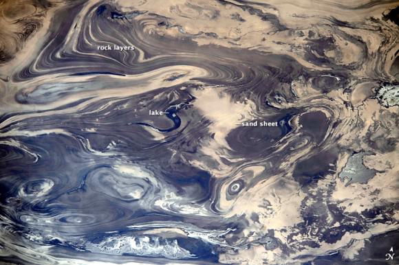
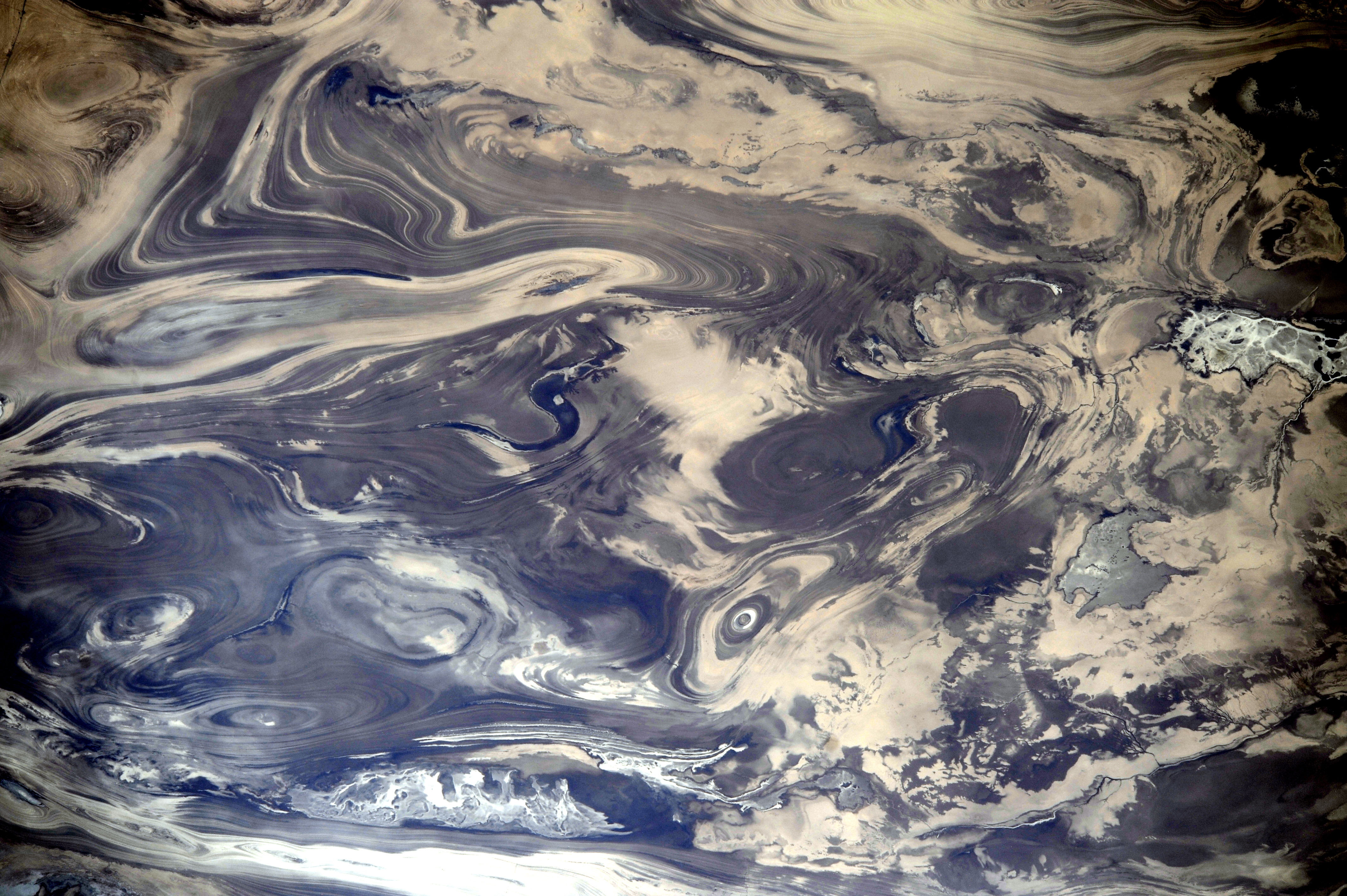
At first glance, this beautiful swirling view appears like clouds above a large body of water or possibly the eddies of ocean currents. Surprisingly, this is a desert, the Kavir desert (Dasht-e Kavir – literally ‘desert of salt-marsh’) in Iran, and the image was taken by one of the astronauts on the International Space Station.

You’ll notice the striking pattern of parallel lines and sweeping curves. NASA explains that the lack of soil and vegetation in this desert allows the geological structure of the rocks to appear quite clearly from space and the patterns result from the gentle folding of numerous, thin layers of rock. “Later erosion by wind and water cut a flat surface across the dark- and light-colored folds, not only exposing hundreds of layers but also showing the shapes of the folds. The pattern has been likened to the layers of a sliced onion,” NASA says.
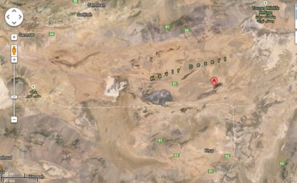
While a quick look at Google Maps (see image below) shows that most of the region does appear to be sand-colored brown from space, there are regions with blue tints due to the folds and layers in the exposed surfaces, and the image is actually just a small part of the 77,600 square kilometer (30,000 sq mile) desert. It’s a bit difficult to get a sense of scale in the top image since there are no fields or roads to provide a reference, but the width of the image is about 105 kilometers (65 miles).
There is some water in this area, however. In the center of the NASA image is a dark s-shaped region is a lake and a small river snakes across the bottom of the image. The irregular, light-toned patch just left of the lake is a sand sheet thin enough to allow the underlying rock layers to be detected.

Source: NASA Earth Observatory

