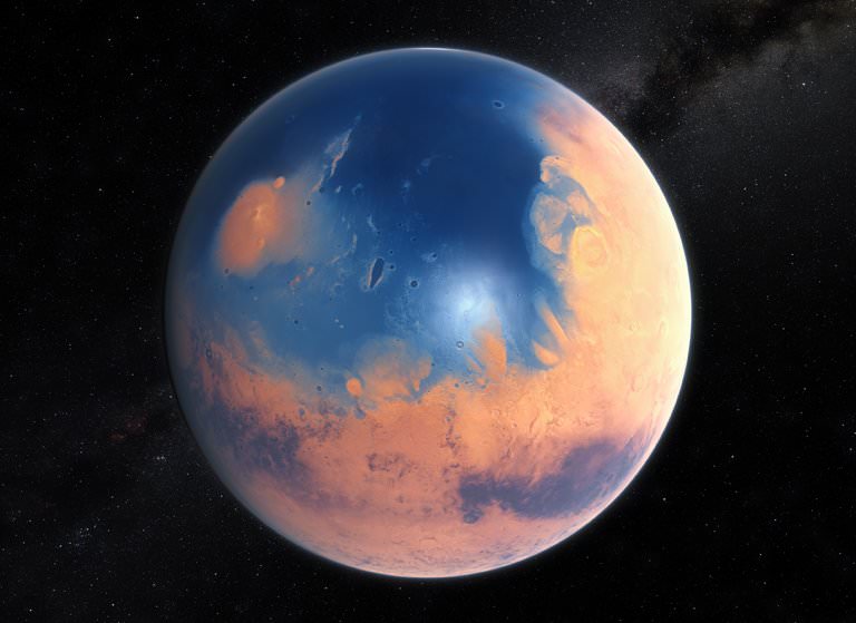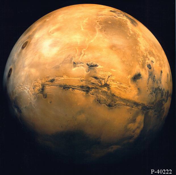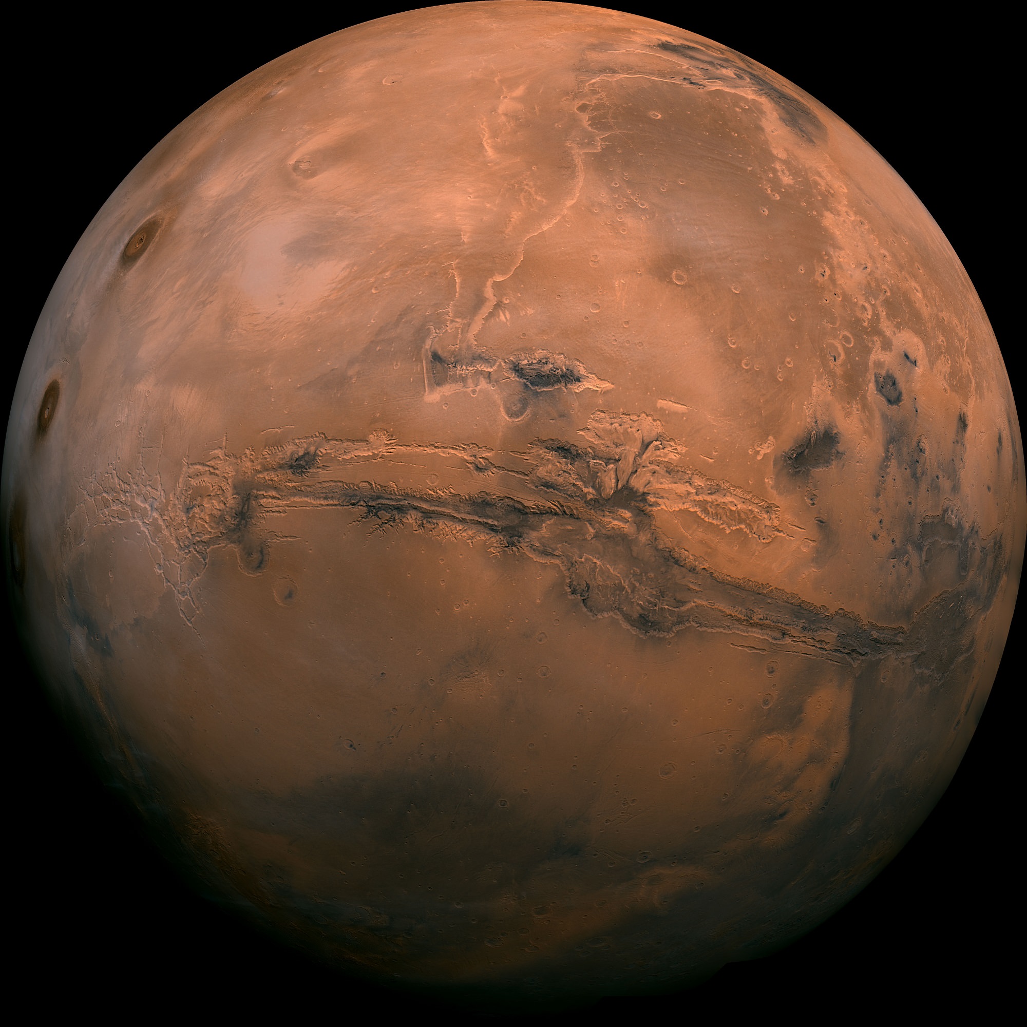
Mars and Earth have quite a few things in common. Both are terrestrial planets, both are located within the Sun’s habitable zone, both have polar ice caps, similarly tilted axes, and similar variations in temperature. And according to some of the latest scientific data obtained by rovers and atmospheric probes, it is now known that Mars once had a dense atmosphere and was covered with warm, flowing water.
But when it comes to things like the length of a year, and the length of seasons, Mars and Earth are quite different. Compared to Earth, a year on Mars lasts almost twice as long – 686.98 Earth days. This is due to the fact that Mars is significantly farther from the Sun and its orbital period (the time it takes to orbit the Sun) is significantly greater than that of Earth’s.
Orbital Period:
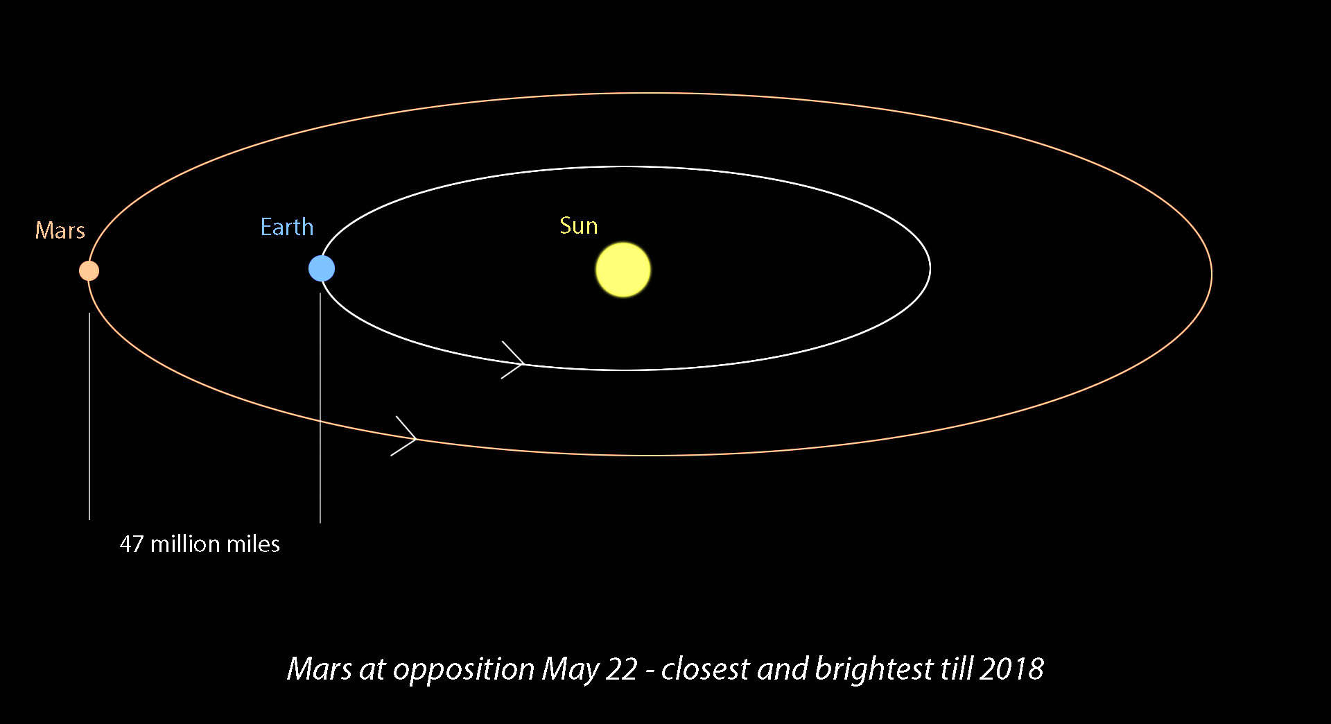
Mars average distance (semi-major axis) from the Sun is 227,939,200 km (141,634,852.46 mi) which is roughly one and half times the distance between the Earth and the Sun (1.52 AU). Compared to Earth, its orbit is also rather eccentric (0.0934 vs. 0.0167), ranging from 206.7 million km (128,437,425.435 mi; 1.3814 AU) at perihelion to 249.2 million km (154,845,701 mi; 1.666 AU) at aphelion. At this distance, and with an orbital speed of 24.077 km/s, Mars takes 686.971 Earth days, the equivalent of 1.88 Earth years, to complete a orbit around the Sun.

This eccentricity is one of the most pronounced in the Solar System, with only Mercury having a greater one (0.205). However, this wasn’t always the case. Roughly 1.35 million years ago, Mars had an eccentricity of just 0.002, making its orbit nearly circular. It reached a minimum eccentricity of 0.079 some 19,000 years ago, and will peak at about 0.105 in about 24,000 years from now.
But for the last 35,000 years, the orbit of Mars has been getting slightly more eccentric because of the gravitational effects of the other planets. The closest distance between Earth and Mars will continue to mildly decrease for the next 25,000 years. And in about 1,000,000 years from now, its eccentricity will once again be close to what it is now – with an estimated eccentricity of 0.01.
Earth Days vs. Martian “Sols”:
Whereas a year on Mars is significantly longer than a year on Earth, the difference between an day on Earth and a Martian day (aka. “Sol”) is not significant. For starters, Mars takes 24 hours 37 minutes and 22 seconds to complete a single rotation on its axis (aka. a sidereal day), where Earth takes just slightly less (23 hours, 56 minutes and 4.1 seconds).
On the other hand, it takes 24 hours, 39 minutes, and 35 seconds for the Sun to appear in the same spot in the sky above Mars (aka. a solar day), compared to the 24 hour solar day we experience here on Earth. This means that, based on the length of a Martian day, a Martian year works out to 668.5991 Sols.
Seasonal Variations:
Mars also has a seasonal cycle that is similar to that of Earth’s. This is due in part to the fact that Mars also has a tilted axis, which is inclined 25.19° to its orbital plane (compared to Earth’s axial tilt of approx. 23.44°). It’s also due to Mars orbital eccentricity, which means it will periodically receive less in the way of the Sun’s radiance during at one time of the year than another. This change in distance causes significant variations in temperature.
While the planet’s average temperature is -46 °C (51 °F), this ranges from a low of -143 °C (-225.4 °F) during the winter at the poles to a high of 35 °C (95 °F) during summer and midday at the equator. This works out to a variation in average surface temperature that is quite similar to Earth’s – a difference of 178 °C (320.4 °F) versus 145.9 °C (262.5 °F). This high in temperatures is also what allows for liquid water to still flow (albeit intermittently) on the surface of Mars.
In addition, Mars’ eccentricity means that it travels more slowly in its orbit when it is further from the Sun, and more quickly when it is closer (as stated in Kepler’s Three Laws of Planetary Motion). Mars’ aphelion coincides with Spring in its northern hemisphere, which makes it the longest season on the planet – lasting roughly 7 Earth months. Summer is second longest, lasting six months, while Fall and Winter last 5.3 and just over 4 months, respectively.
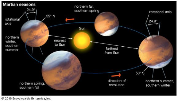
In the south, the length of the seasons is only slightly different. Mars is near perihelion when it is summer in the southern hemisphere and winter in the north, and near aphelion when it is winter in the southern hemisphere and summer in the north. As a result, the seasons in the southern hemisphere are more extreme and the seasons in the northern are milder. The summer temperatures in the south can be up to 30 K (30 °C; 54 °F) warmer than the equivalent summer temperatures in the north.
Weather Patterns:
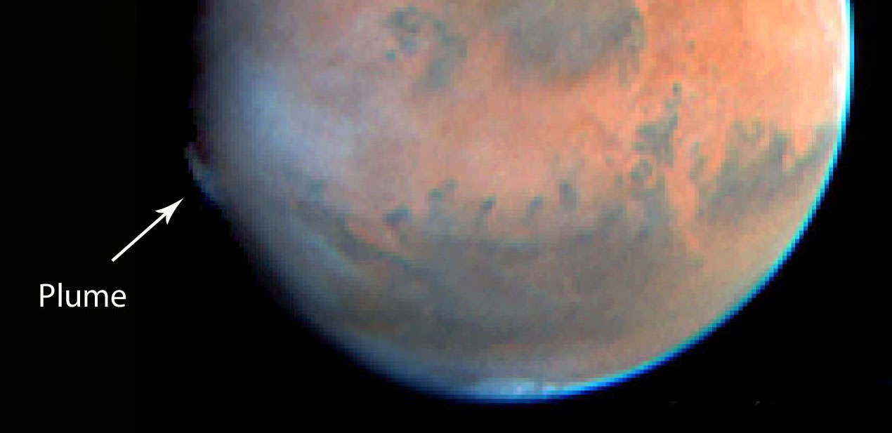
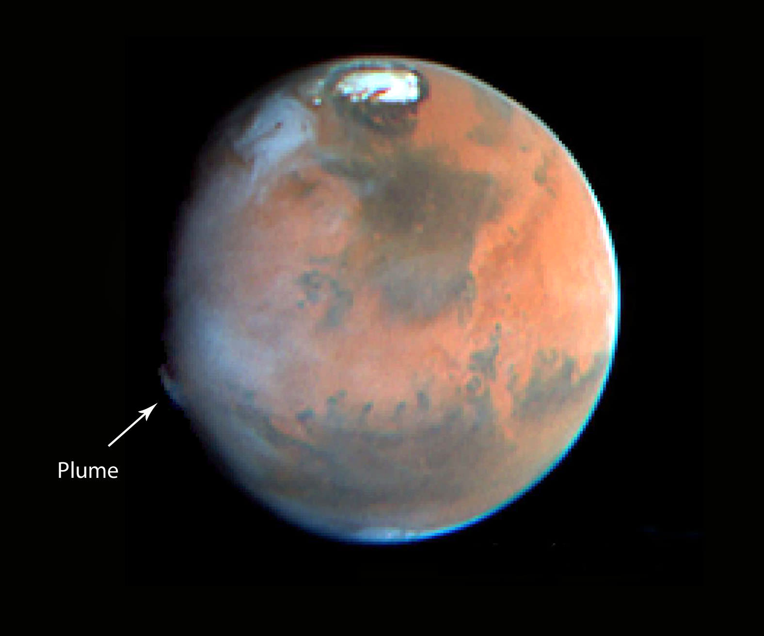
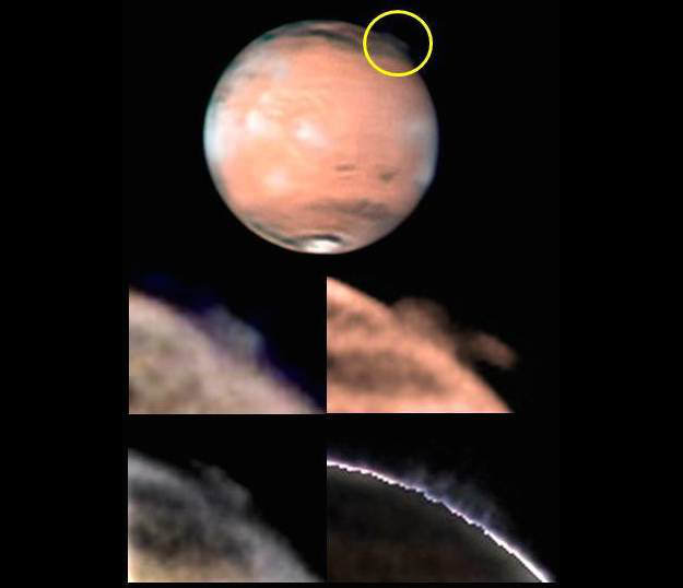
These seasonal variations allow Mars to experience some extremes in weather. Most notably, Mars has the largest dust storms in the Solar System. These can vary from a storm over a small area to gigantic storms (thousands of km in diameter) that cover the entire planet and obscure the surface from view. They tend to occur when Mars is closest to the Sun, and have been shown to increase the global temperature.
The first mission to notice this was the Mariner 9 orbiter, which was the first spacecraft to orbit Mars in 1971, it sent pictures back to Earth of a world consumed in haze. The entire planet was covered by a dust storm so massive that only Olympus Mons, the giant Martian volcano that measures 24 km high, could be seen above the clouds. This storm lasted for a full month, and delayed Mariner 9‘s attempts to photograph the planet in detail.
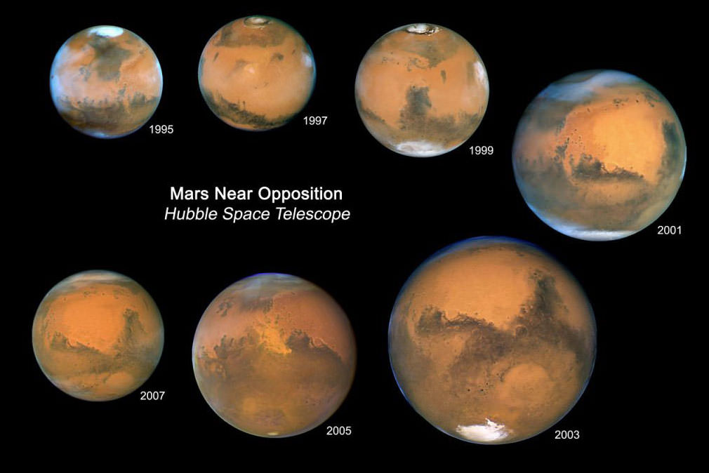
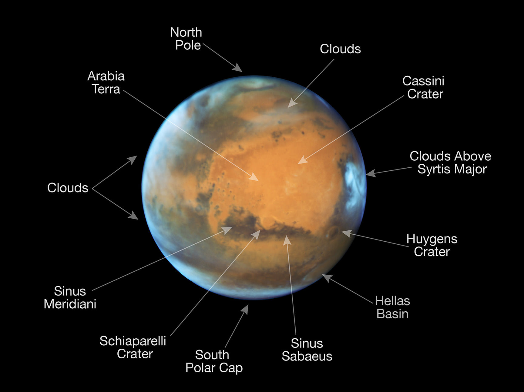
And then on June 9th, 2001, the Hubble Space Telescope spotted a dust storm in the Hellas Basin on Mars. By July, the storm had died down, but then grew again to become the largest storm in 25 years. So big was the storm that amateur astronomers using small telescopes were able to see it from Earth. And the cloud raised the temperature of the frigid Martian atmosphere by a stunning 30° Celsius.
These storms tend to occur when Mars is closest to the Sun, and are the result of temperatures rising and triggering changes in the air and soil. As the soil dries, it becomes more easily picked up by air currents, which are caused by pressure changes due to increased heat. The dust storms cause temperatures to rise even further, leading to Mars’ experiencing its own greenhouse effect.
Given the differences in seasons and day length, one is left to wonder if a standard Martian calendar could ever be developed. In truth, it could, but it would be a bit of a challenge. For one, a Martian calendar would have to account for Mars’ peculiar astronomical cycles, and our own non-astronomical cycles like the 7-day week work with them.
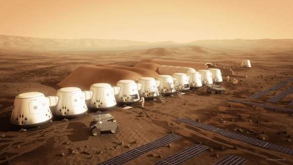
Another consideration in designing a calendar is accounting for the fractional number of days in a year. Earth’s year is 365.24219 days long, and so calendar years contain either 365 or 366 days accordingly. Such a formula would need to be developed to account for the 668.5921-sol Martian year. All of this will certainly become an issue as human beings become more and more committed to exploring (and perhaps colonizing) the Red Planet.
We have written many interesting articles about Mars here at Universe Today. Here’s How Long is a Year on the Other Planets?, Which Planet has the Longest Day?, How Long is a Year on Mercury, How Long is a Year on Earth?, How Long is a Year on Venus?, How Long is a Year on Jupiter?, How Long is a Year on Saturn?, How Long is a Year on Uranus?, How Long is a Year on Neptune?, How Long is a Year on Pluto?
For more information, check out NASA’s Solar System Exploration page on Mars.
Astronomy Cast also has several interesting episodes on the subject. Like Episode 52: Mars, and Episode 91: The Search for Water on Mars.