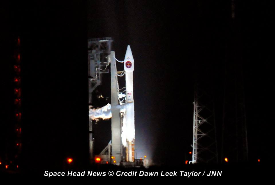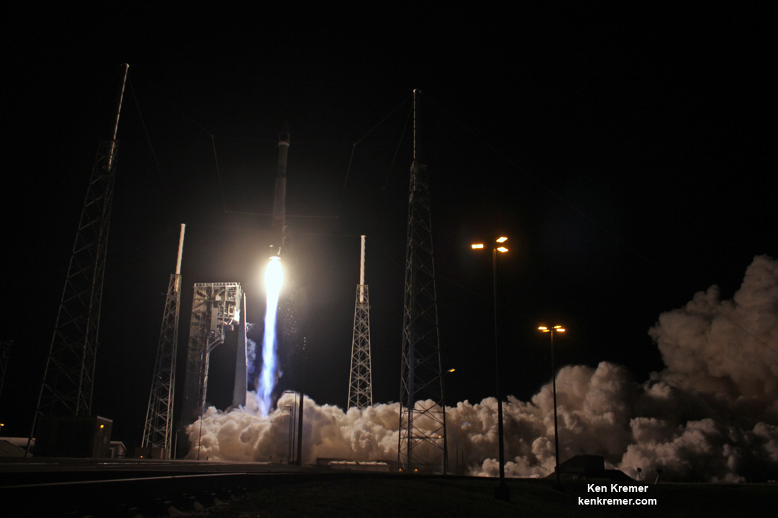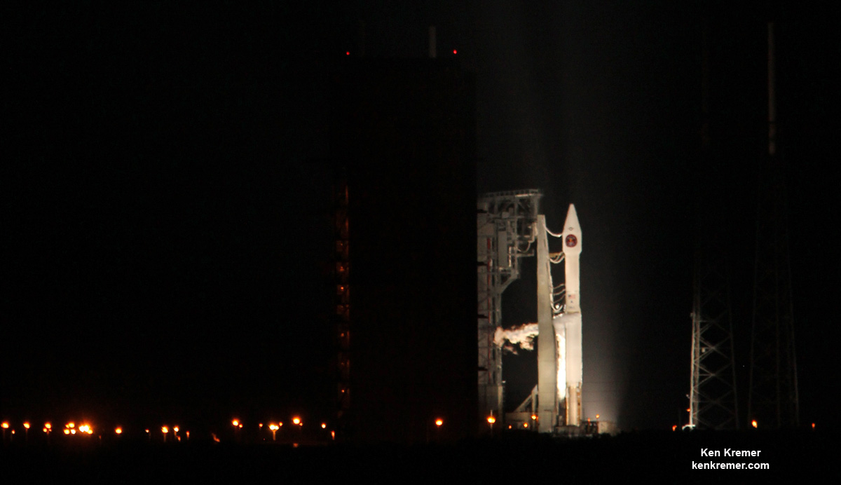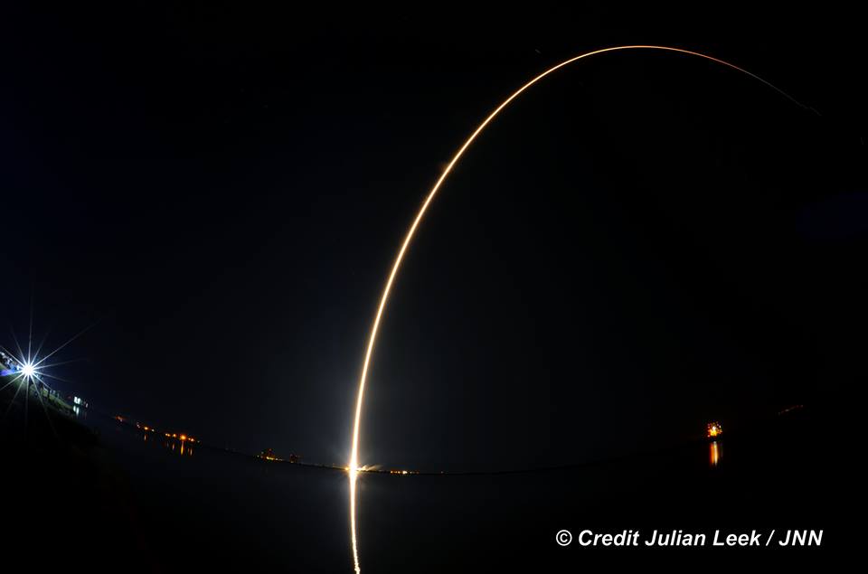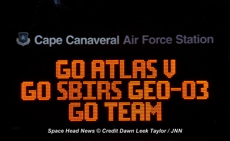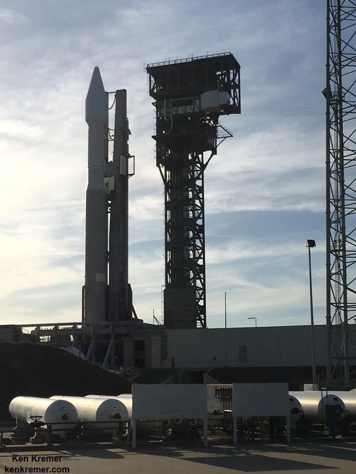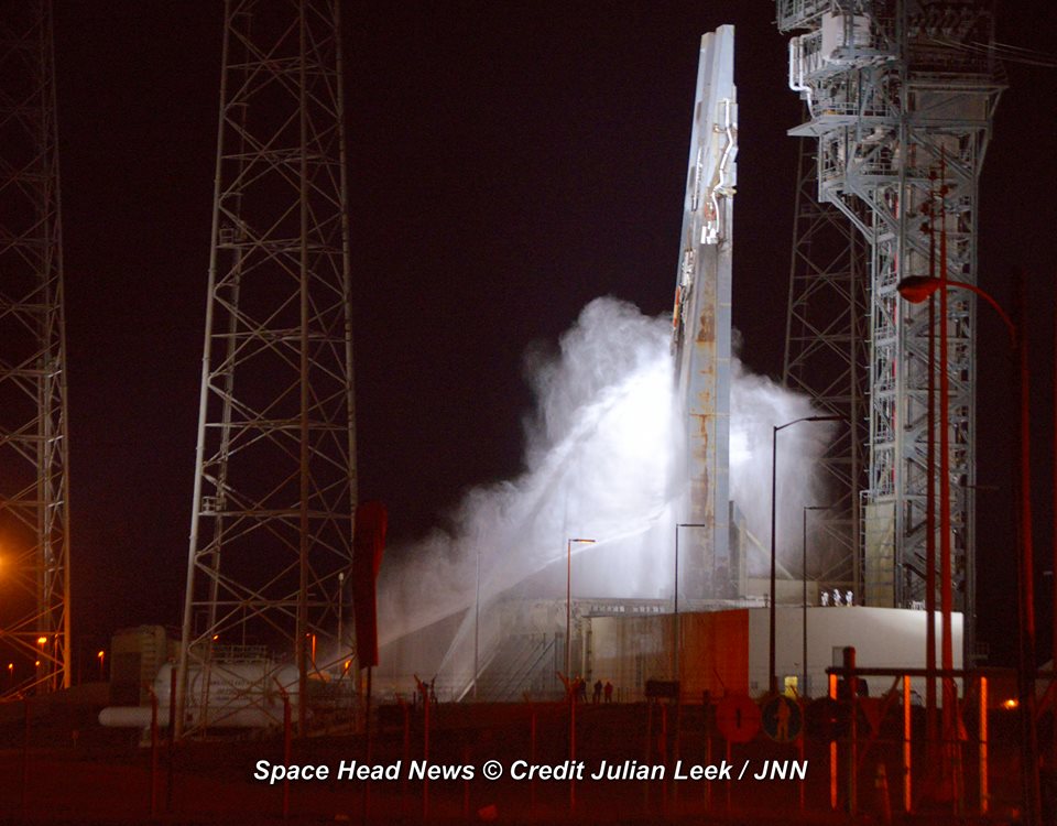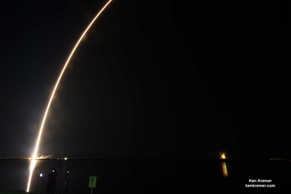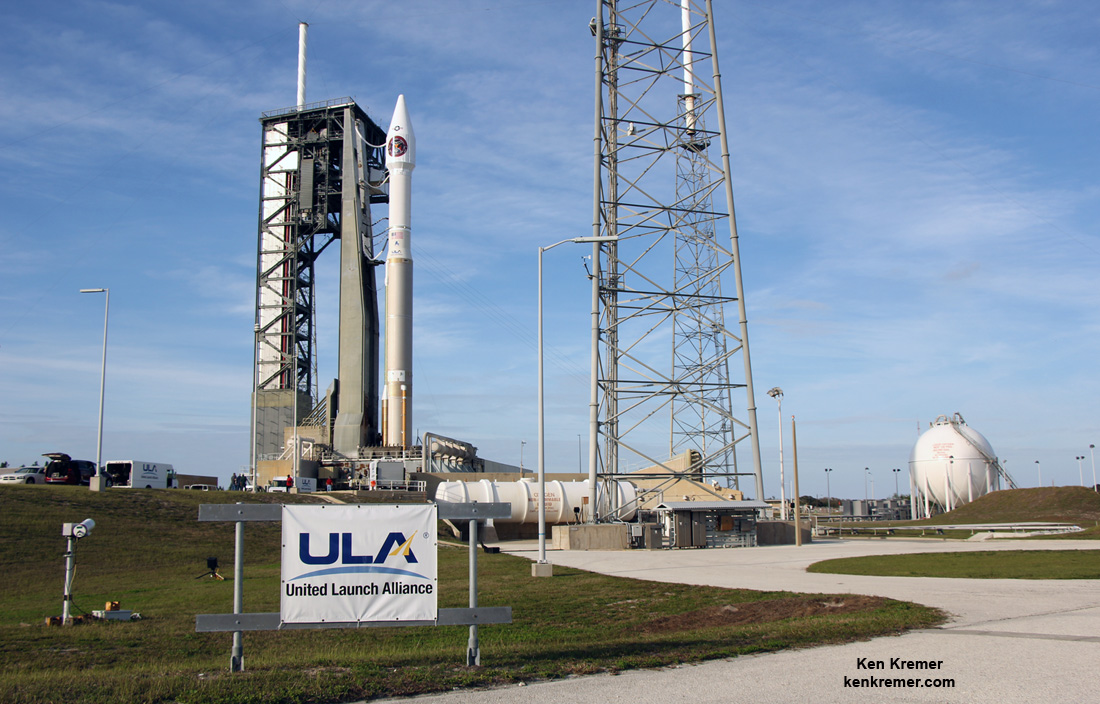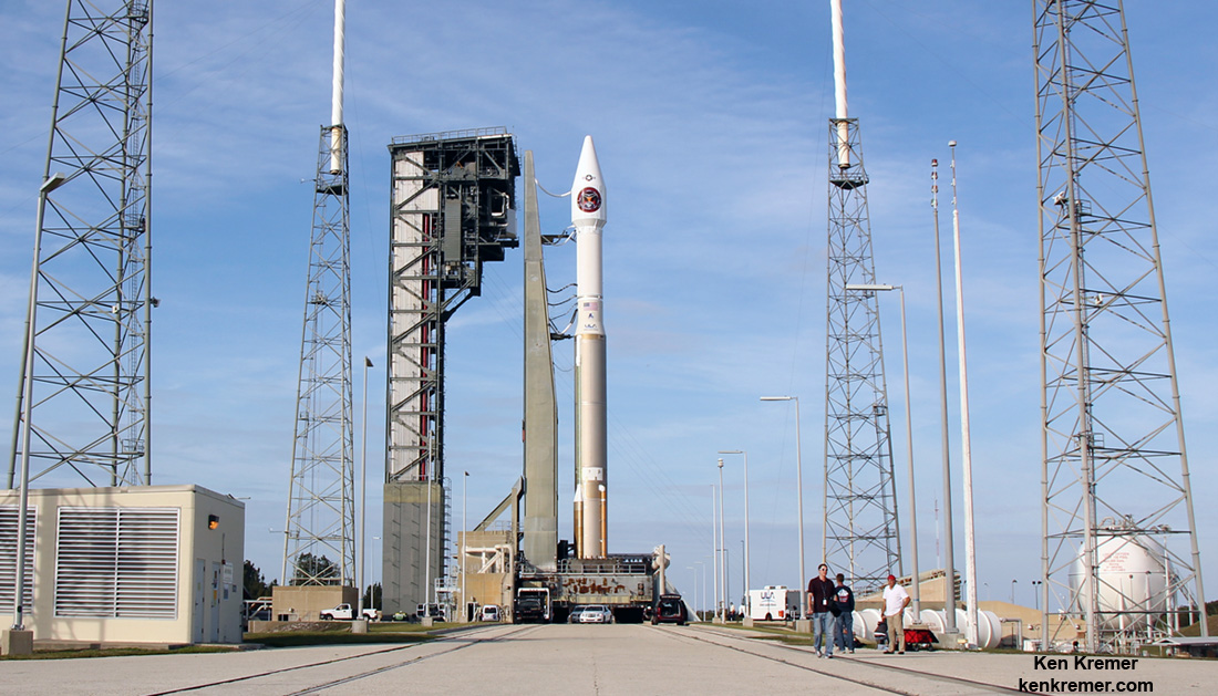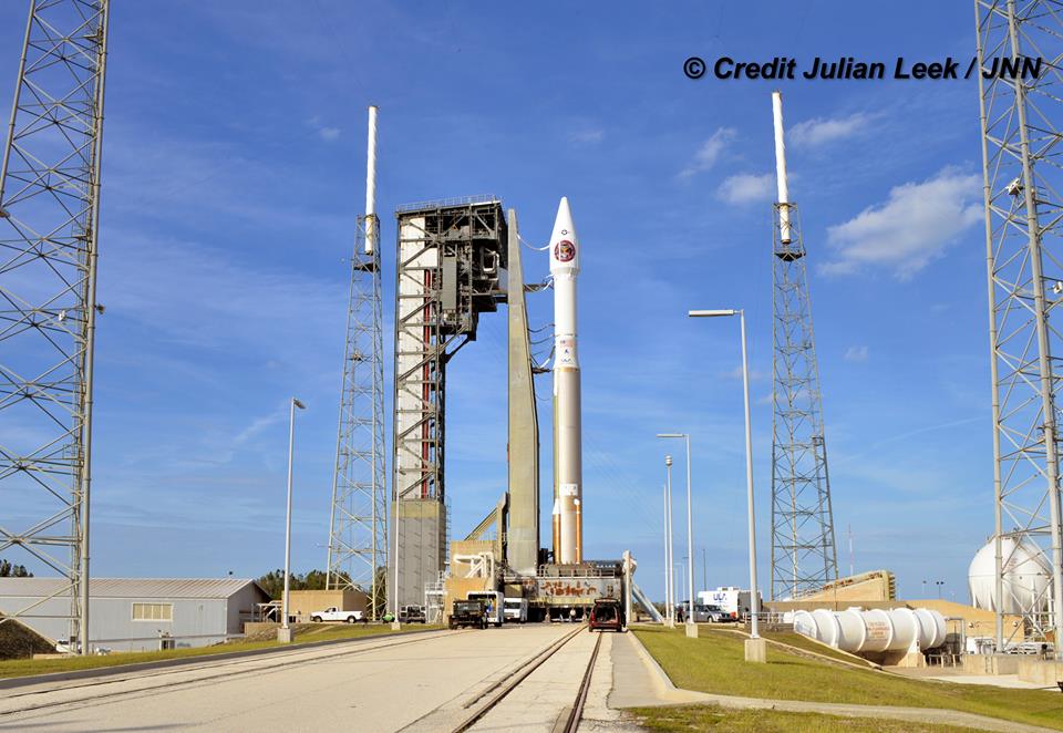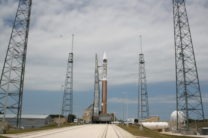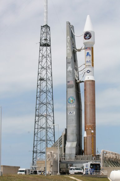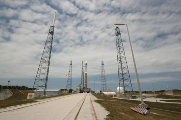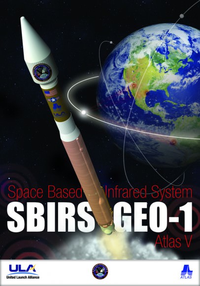
CAPE CANAVERAL AIR FORCE STATION, FL – A vital missile reconnaissance satellite for the U.S. Force soared to space atop an Atlas V rocket from Cape Canaveral at dinnertime Friday night, Jan. 20, 2017.
The United Launch Alliance Atlas V rocket carrying the $1.2 Billion Space Based Infrared System (SBIRS) GEO Flight 3 infrared imaging satellite lifted off at 7:42 p.m. ET from Space Launch Complex-41 on Cape Canaveral Air Force Station, Fla.
Check out this expanding gallery of eyepopping photos and videos from several space journalist colleagues and friends and myself – for views you won’t see elsewhere.
Click back as the gallery grows !
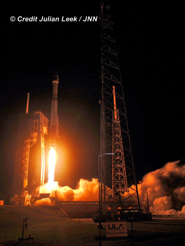
“GEO Flight 3 delivery and launch marks a significant milestone in fulfilling our commitment to the missile-warning community, missile defense and the intelligence community. It’s an important asset for the warfighter and will be employed for years to come,” says Lt. Gen. Samuel Greaves, SMC commander and Air Force program executive officer for space, in a statement.
The Space Based Infrared System is designed to provide global, persistent, infrared surveillance capabilities to meet 21st century demands in four national security mission areas: missile warning, missile defense, technical intelligence and battlespace awareness.
“The hard work and dedication of the launch team has absolutely paid off,” Col. Dennis Bythewood, director of the Remote Sensing Directorate said in a statement.
“Today’s launch of GEO Flight 3 culminates years of preparation by a broad team of government and industry professionals.”
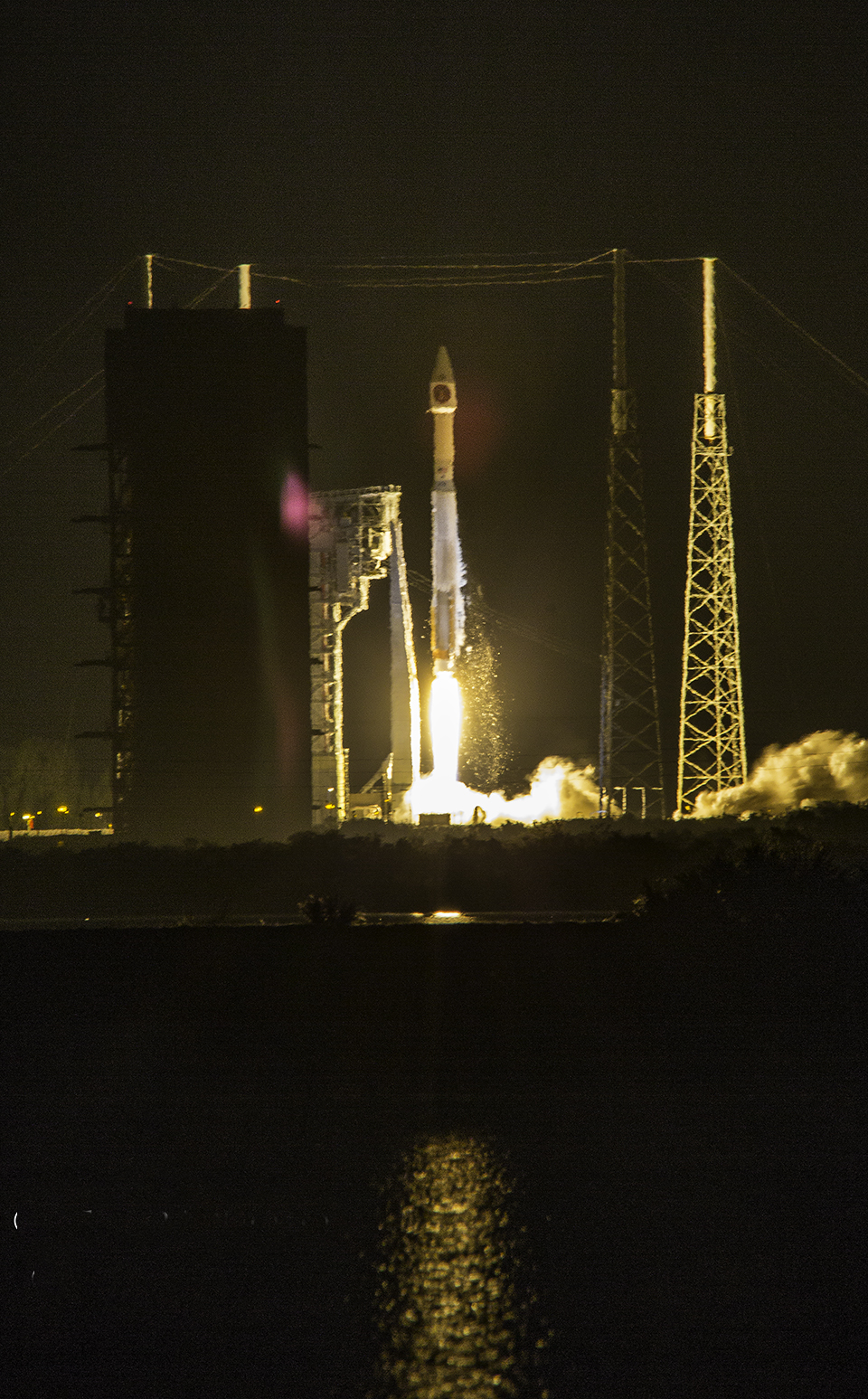
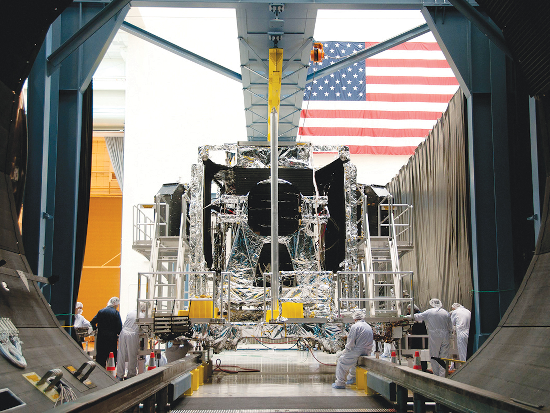
The SBIRS GEO Flight 3 missile defense observatory built for the USAF will detect and track the infrared signatures of incoming enemy missiles twice as fast as the prior generation of satellites and is vital to America’s national security.
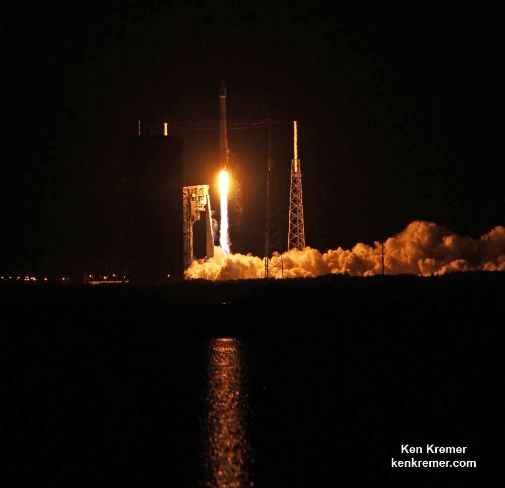
SBIRS GEO Flight 3 was launched to geosynchronous transfer orbit to an altitude approx 22,000 miles (36,000 kilometers) above Earth.
The Atlas V was launched southeast at an inclination of 23.29 degrees. SBIRS GEO Flight 3 separated from the 2nd stage as planned 43 minutes after liftoff.
Following separation, the spacecraft began a series of orbital maneuvers to propel it to a geosynchronous earth orbit. Once in its final orbit, engineers will deploy the satellite’s solar arrays and antennas. The engineers will then complete checkout and tests in preparation for operational use, USAF officials explained.
Watch these eyepopping launch videos as the Atlas V rocket thunders to space – showing different perspectives of the blastoff from remote cameras ringing the pad and from the media’s launch viewing site on Cape Canaveral Air Force Station.
Video Caption: ULA Atlas 5 launch of the SBIRS GEO Flight 3 satellite from Pad 41 of the Cape Canaveral Air Force Station on January 20, 2017. Credit: Jeff Seibert
Video Caption: Launch of SBIRS GEO Flight 3 early missile warning satellite for USAF on a United Launch Alliance (ULA) Atlas V rocket from SLC-41 on Cape Canaveral Air Force Station, Fl., at 7:42 p.m. ET on Jan. 20, 2017 – as seen in this remote video taken at the pad. Credit: Ken Kremer/kenkremer.com
Lockheed Martin is the prime contractor, with Northrop Grumman as the payload integrator.
The SBIRS team is led by the Remote Sensing Systems Directorate at the U.S. Air Force Space and Missile Systems Center. Air Force Space Command operates the SBIRS system.

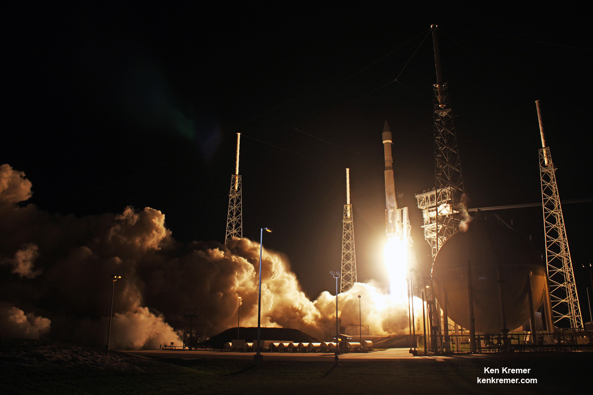
Stay tuned here for Ken’s continuing Earth and Planetary science and human spaceflight news.
