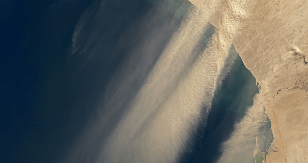
Filmmakers love New Zealand. Its landscapes evoke other worlds, which explains why so much of The Lord of the Rings was filmed there. The country has everything from long, subtropical sandy beaches to active volcanoes.
The country’s otherworldliness extends into its atmosphere, where a cloud nicknamed the “Taieri Pet” forms when conditions are right.
Continue reading “An Otherworldly Cloud Over New Zealand”

