Here are some cool cloud pictures.
Here’s a photo of mammatus clouds, taken by NASA. These are a type of cloud associated with thunderstorms and bad weather.
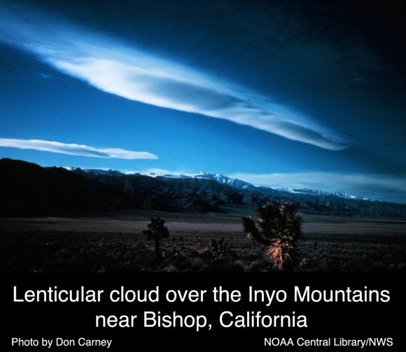
Here’s a picture of lenticular clouds. This kind of cloud looks lens shaped, and sometimes even like a flying saucer. They form when moist air flows over top of a mountain, creating a series of standing waves in the atmosphere. If the temperature drops below the dew point, lenticular clouds may form.
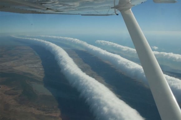
These are Morning Glory clouds, a very rare type of cloud formation seen in Australia. They look like long lines of rolling clouds moving across the landscape. They can be more than 1,000 km long and 1-2 km high. They move 60 km/h across the landscape. Scientists aren’t really certain how they form.
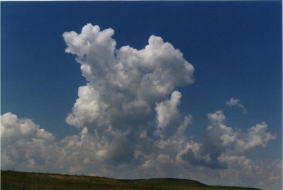
Here’s a classic example of a cumulus clouds. These are the common fluffy white clouds we see when warm air rises and the moisture in the air condenses.
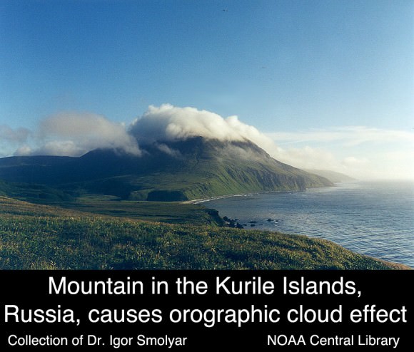
This is an image of orographic clouds. These are formed when air masses are forced from low elevation to go over higher terrain like a mountain. As the air gains altitude, expands and cools forming clouds.
We’ve written many articles about clouds for Universe Today. Here’s an article about how clouds are formed, and here’s an article about different types of clouds.
If you’d like more information on clouds, check out NASA’s cloud gallery. And here’s a link to more information on clouds.
We’ve also recorded an episode of Astronomy Cast about atmospheres. Listen here, Episode 151: Atmospheres.


