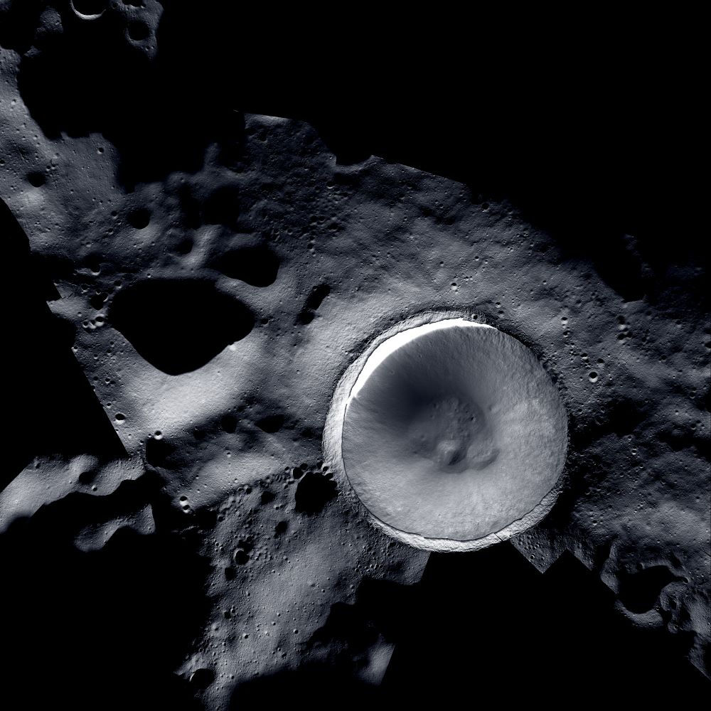
In 2009, NASA launched the Lunar Reconnaissance Orbiter (LRO.) Its ongoing mission is to map the lunar surface in detail, locating potential landing sites, resources, and interesting features like lava tubes. The mission is an ongoing success, another showcase of NASA’s skill. It’s mapped about 98.2% of the lunar surface, excluding the deeply shadowed regions in the polar areas.
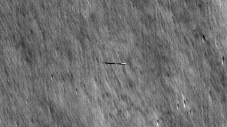
But recently, the LRO team’s skill was on display for another reason: it captured images of another satellite speeding over the lunar surface.
Continue reading “US Satellite Photographs a South Korean Satellite from Lunar Orbit”


