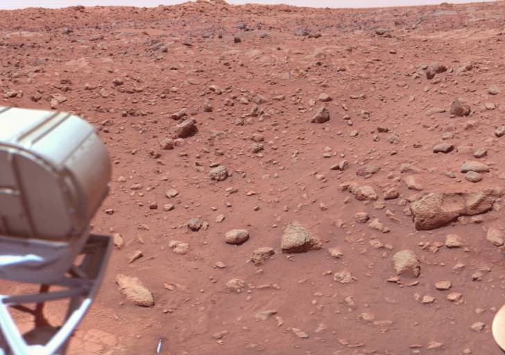
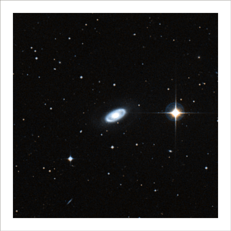
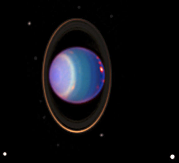
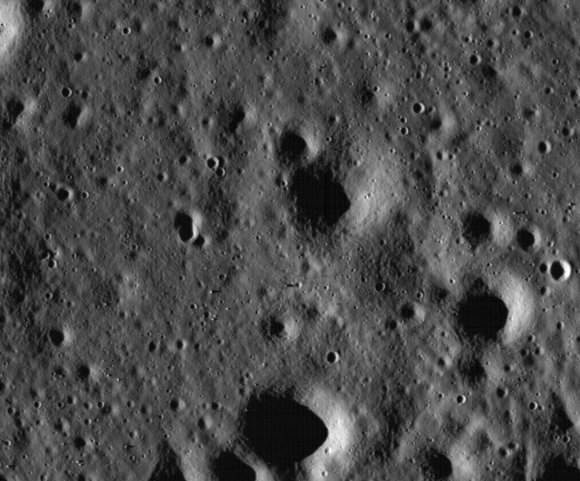
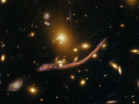
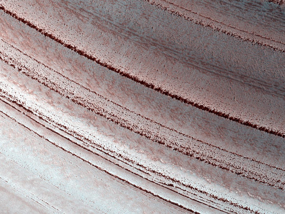
Here’s this week’s Where In The Universe Challenge. You know what to do: take a look at this image and see if you can determine where in the universe this image is from; give yourself extra points if you can name the instrument responsible for the image. We’ll provide the image today, but won’t reveal the answer until tomorrow. This gives you a chance to mull over the image and provide your answer/guess in the comment section. Please, no links or extensive explanations of what you think this is — give everyone the chance to guess.
UPDATE: The answer has now been posted below.
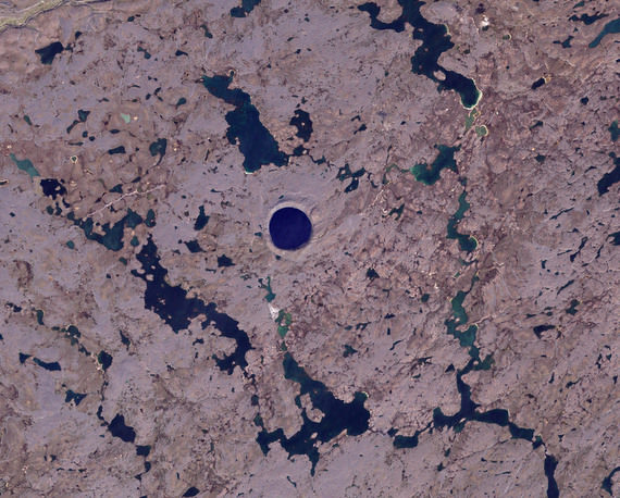
This is Pingualuit Crater in northern Quebec, on Earth. It was first seen by a crew from a United States Army Air Force plane in 1943, and was one of the first craters in this region to be identified as an impact crater. This image was taken by NASA’s Landsat 7 satellite on August 17, 2002. In this image, water appears blue, and land appears in varying shades of beige. The high latitude of the area limits vegetation, so thick, lush forests do not flourish in this region. In fact, the crater’s name derives from an Inuktitut term for cold-weather-induced skin blemishes.
Read more about Pingualuit Crater at the NASA Earth Observatory website.

